


Ku Ghent Station Atb 1 Reservoir Report
Last Updated: April 28, 2026
°F
°F
mph
Wind
%
Humidity
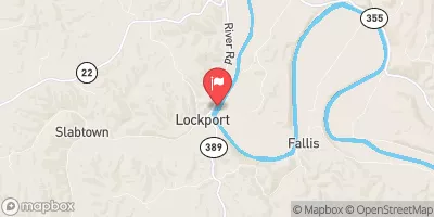
Ku Ghent Station Atb 1, located in Ghent, Kentucky, is a privately owned Earth dam completed in 1972 with a height of 52 feet and a length of 6000 feet.
Summary
This structure, also known as Kentucky Utilities Fly Ash (1), serves a primary purpose of 'Other' and is regulated by the KY Division of Water. With a storage capacity of 594 acre-feet, it is situated along the TR-OHIO RIVER and covers a surface area of 30.4 acres with a drainage area of 0.29 square miles. The dam has a spillway type of 'Uncontrolled' and a high hazard potential rating.
SARGENT & LUNDY-ENGINEERS CHICAGO, ILLINOIS, designed Ku Ghent Station Atb 1, which has been inspected as recently as November 2017 and was deemed to be in satisfactory condition. The dam has a moderate risk assessment rating of 3, indicating the potential for significant consequences in the event of failure. Although the dam has not been modified in recent years, its emergency action plan (EAP) status and risk management measures are not specified in the available data. Overall, this dam poses a notable risk due to its high hazard potential and moderate risk assessment, warranting ongoing monitoring and maintenance to ensure public safety and water resource protection.
Regional Streamflow Levels
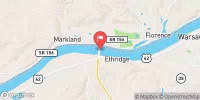 Ohio River At Markland Dam Near Warsaw
|
79500cfs |
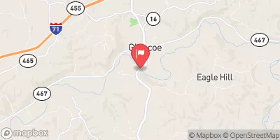 Eagle Creek At Glencoe
|
451cfs |
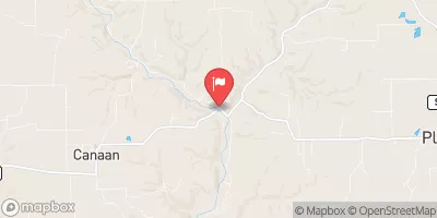 Indian-Kentuck Creek Nr Canaan
|
3290cfs |
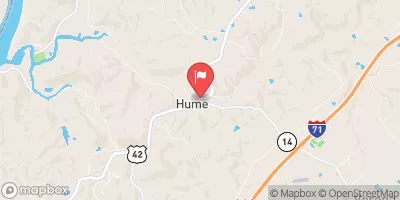 Mud Lick Cr At Hwy 42 Nr Beaverlick
|
1920cfs |
 Kentucky River At Lock 2 At Lockport
|
6110cfs |
 Woolper Creek At Woolper Road Near Burlington
|
2120cfs |
15-Day Long Term Forecast
Year Completed |
1972 |
Dam Length |
6000 |
Dam Height |
52 |
River Or Stream |
TR-OHIO RIVER |
Primary Dam Type |
Earth |
Surface Area |
30.4 |
Drainage Area |
0.29 |
Nid Storage |
594 |
Hazard Potential |
High |
Nid Height |
52 |
Seasonal Comparison
5-Day Hourly Forecast Detail
Dam Data Reference
Condition Assessment
SatisfactoryNo existing or potential dam safety deficiencies are recognized. Acceptable performance is expected under all loading conditions (static, hydrologic, seismic) in accordance with the minimum applicable state or federal regulatory criteria or tolerable risk guidelines.
Fair
No existing dam safety deficiencies are recognized for normal operating conditions. Rare or extreme hydrologic and/or seismic events may result in a dam safety deficiency. Risk may be in the range to take further action. Note: Rare or extreme event is defined by the regulatory agency based on their minimum
Poor A dam safety deficiency is recognized for normal operating conditions which may realistically occur. Remedial action is necessary. POOR may also be used when uncertainties exist as to critical analysis parameters which identify a potential dam safety deficiency. Investigations and studies are necessary.
Unsatisfactory
A dam safety deficiency is recognized that requires immediate or emergency remedial action for problem resolution.
Not Rated
The dam has not been inspected, is not under state or federal jurisdiction, or has been inspected but, for whatever reason, has not been rated.
Not Available
Dams for which the condition assessment is restricted to approved government users.
Hazard Potential Classification
HighDams assigned the high hazard potential classification are those where failure or mis-operation will probably cause loss of human life.
Significant
Dams assigned the significant hazard potential classification are those dams where failure or mis-operation results in no probable loss of human life but can cause economic loss, environment damage, disruption of lifeline facilities, or impact other concerns. Significant hazard potential classification dams are often located in predominantly rural or agricultural areas but could be in areas with population and significant infrastructure.
Low
Dams assigned the low hazard potential classification are those where failure or mis-operation results in no probable loss of human life and low economic and/or environmental losses. Losses are principally limited to the owner's property.
Undetermined
Dams for which a downstream hazard potential has not been designated or is not provided.
Not Available
Dams for which the downstream hazard potential is restricted to approved government users.
Area Campgrounds
| Location | Reservations | Toilets |
|---|---|---|
 Paul Ogle Riverfront Park
|
||
 Sparta Campground
|
||
 General Butler State Park
|
 Lafayette Street, Vevay