Waldron Lake Near Cosperville Reservoir Report
Nearby: Cliff Pettit Dam Marvin Morgan Dam
Last Updated: February 21, 2026
Waldron Lake, located near Cosperville, Indiana, was created in 1966 as an impoundment for the Elkhart River.
Summary
The lake has a surface area of 216 acres and a maximum depth of 30 feet. The hydrology of the lake is primarily fed by the Elkhart River, which provides surface flow to the lake. The lake also receives water from snowpack, which melts in the spring and contributes to the lake's water levels. The lake is used for recreational activities, such as fishing and boating, and is stocked with a variety of fish species, including bluegill and largemouth bass. There are also several agricultural fields surrounding the lake. While the lake provides a valuable source of water for these fields, agricultural runoff can contribute to water quality issues in the lake.
°F
°F
mph
Wind
%
Humidity
15-Day Weather Outlook
Reservoir Details
| Gage Height, Ft 24hr Change | 2.36% |
| Percent of Normal | 92% |
| Minimum |
0.01 ft
2025-02-07 |
| Maximum |
9.72 ft
2009-03-15 |
| Average | 6 ft |
Seasonal Comparison
Gage Height, Ft Levels
5-Day Hourly Forecast Detail
Nearby Streamflow Levels
 Nb Elkhart River At Cosperville
|
90cfs |
 Tippecanoe River At North Webster
|
16cfs |
 Pigeon River Near Scott
|
384cfs |
 Pigeon Creek Nr Angola
|
67cfs |
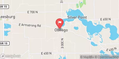 Tippecanoe River At Oswego
|
42cfs |
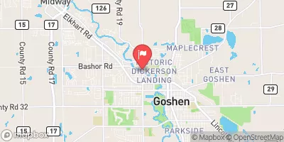 Elkhart River At Goshen
|
620cfs |
Dam Data Reference
Condition Assessment
SatisfactoryNo existing or potential dam safety deficiencies are recognized. Acceptable performance is expected under all loading conditions (static, hydrologic, seismic) in accordance with the minimum applicable state or federal regulatory criteria or tolerable risk guidelines.
Fair
No existing dam safety deficiencies are recognized for normal operating conditions. Rare or extreme hydrologic and/or seismic events may result in a dam safety deficiency. Risk may be in the range to take further action. Note: Rare or extreme event is defined by the regulatory agency based on their minimum
Poor A dam safety deficiency is recognized for normal operating conditions which may realistically occur. Remedial action is necessary. POOR may also be used when uncertainties exist as to critical analysis parameters which identify a potential dam safety deficiency. Investigations and studies are necessary.
Unsatisfactory
A dam safety deficiency is recognized that requires immediate or emergency remedial action for problem resolution.
Not Rated
The dam has not been inspected, is not under state or federal jurisdiction, or has been inspected but, for whatever reason, has not been rated.
Not Available
Dams for which the condition assessment is restricted to approved government users.
Hazard Potential Classification
HighDams assigned the high hazard potential classification are those where failure or mis-operation will probably cause loss of human life.
Significant
Dams assigned the significant hazard potential classification are those dams where failure or mis-operation results in no probable loss of human life but can cause economic loss, environment damage, disruption of lifeline facilities, or impact other concerns. Significant hazard potential classification dams are often located in predominantly rural or agricultural areas but could be in areas with population and significant infrastructure.
Low
Dams assigned the low hazard potential classification are those where failure or mis-operation results in no probable loss of human life and low economic and/or environmental losses. Losses are principally limited to the owner's property.
Undetermined
Dams for which a downstream hazard potential has not been designated or is not provided.
Not Available
Dams for which the downstream hazard potential is restricted to approved government users.
Area Campgrounds
| Location | Reservations | Toilets |
|---|---|---|
 Hidden Diamonds City Park
|
||
 Chain OLakes State Park
|
||
 Bixler Lake City Campground
|

 Sylvan Lake Dam
 Waldron Lake Near Cosperville
 Sylvan Lake At Rome City
 Westler Lake
 Adams Lake
 Norman Lake
 Miller Lake