Frd No 4-A Reservoir Report
Nearby: Frd No 4-B Frd No 4
Last Updated: February 11, 2026
Frd No 4-A, also known as Turkey Creek Watershed Dam Frd4a, is a local government-owned structure located in Enterprise, Kansas.
Summary
Designed by USDA NRCS, this dam serves the primary purpose of flood risk reduction in the East Turkey Creek-TR watershed. Completed in 1969, Frd No 4-A is a buttress-type dam with a height of 24 feet and a hydraulic height of 19 feet. It has a storage capacity of 229 acre-feet and a maximum discharge of 1005 cubic feet per second.
Managed by the Kansas Department of Agriculture, Frd No 4-A is state-regulated and undergoes regular inspections and enforcement to ensure its safety and functionality. With a low hazard potential and a current condition assessment of "Not Rated," this structure plays a crucial role in mitigating flood risks in the area. While its emergency action plan status and risk management measures are not specified, Frd No 4-A remains an important asset in water resource management and climate resilience efforts in Dickinson County, Kansas.
°F
°F
mph
Wind
%
Humidity
15-Day Weather Outlook
Year Completed |
1969 |
Dam Length |
1750 |
Dam Height |
24 |
River Or Stream |
EAST TURKEY CREEK-TR |
Hydraulic Height |
19 |
Nid Storage |
229 |
Structural Height |
24 |
Outlet Gates |
None |
Hazard Potential |
Low |
Foundations |
Unlisted/Unknown |
Nid Height |
24 |
Seasonal Comparison
5-Day Hourly Forecast Detail
Nearby Streamflow Levels
 Smoky Hill R At Enterprise
|
340cfs |
 Gypsum C Nr Gypsum
|
13cfs |
 N Cottonwood R Bl Marion Lk
|
360cfs |
 Lyon C Nr Junction City
|
17cfs |
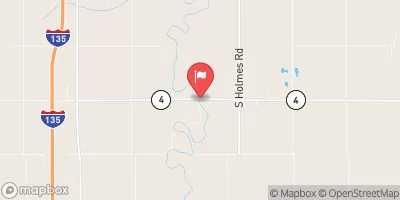 Smoky Hill R Nr Mentor
|
63cfs |
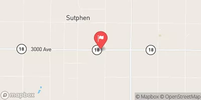 Chapman C Nr Chapman
|
19cfs |
Dam Data Reference
Condition Assessment
SatisfactoryNo existing or potential dam safety deficiencies are recognized. Acceptable performance is expected under all loading conditions (static, hydrologic, seismic) in accordance with the minimum applicable state or federal regulatory criteria or tolerable risk guidelines.
Fair
No existing dam safety deficiencies are recognized for normal operating conditions. Rare or extreme hydrologic and/or seismic events may result in a dam safety deficiency. Risk may be in the range to take further action. Note: Rare or extreme event is defined by the regulatory agency based on their minimum
Poor A dam safety deficiency is recognized for normal operating conditions which may realistically occur. Remedial action is necessary. POOR may also be used when uncertainties exist as to critical analysis parameters which identify a potential dam safety deficiency. Investigations and studies are necessary.
Unsatisfactory
A dam safety deficiency is recognized that requires immediate or emergency remedial action for problem resolution.
Not Rated
The dam has not been inspected, is not under state or federal jurisdiction, or has been inspected but, for whatever reason, has not been rated.
Not Available
Dams for which the condition assessment is restricted to approved government users.
Hazard Potential Classification
HighDams assigned the high hazard potential classification are those where failure or mis-operation will probably cause loss of human life.
Significant
Dams assigned the significant hazard potential classification are those dams where failure or mis-operation results in no probable loss of human life but can cause economic loss, environment damage, disruption of lifeline facilities, or impact other concerns. Significant hazard potential classification dams are often located in predominantly rural or agricultural areas but could be in areas with population and significant infrastructure.
Low
Dams assigned the low hazard potential classification are those where failure or mis-operation results in no probable loss of human life and low economic and/or environmental losses. Losses are principally limited to the owner's property.
Undetermined
Dams for which a downstream hazard potential has not been designated or is not provided.
Not Available
Dams for which the downstream hazard potential is restricted to approved government users.

 Frd No 4-A