Summary
Completed in 1976, this earth dam stands at a height of 40.3 feet and has a hydraulic height of 42 feet, serving the primary purpose of flood risk reduction. With a storage capacity of 566.63 acre-feet and a normal storage level of 40 feet, Frd No 6 plays a crucial role in managing water flow in the Cross Creek-TR river system.
Despite its fair condition assessment and high hazard potential, Frd No 6 remains under state jurisdiction and regulation by the Kansas Department of Agriculture. The dam's spillway, with a width of 40 feet, is uncontrolled, and it has not been modified in recent years. The structure has a moderate risk assessment rating of 3 and is inspected every three years to ensure its continued safety and effectiveness in protecting the surrounding community from potential flooding events. Although no emergency action plan (EAP) has been prepared or updated for Frd No 6, its presence and functionality are crucial for maintaining water resource sustainability in the region.
In the event of an emergency, the local government in DELIA, Kansas, where Frd No 6 is located, must be prepared to take swift action to mitigate any potential risks associated with the dam. With its strategic position in the Cross Creek watershed system and its role in flood risk reduction, Frd No 6 remains a critical piece of infrastructure for water resource and climate enthusiasts concerned with sustainable water management practices in the region.
Year Completed |
1976 |
Dam Length |
975 |
Dam Height |
40.3 |
River Or Stream |
CROSS CREEK-TR |
Primary Dam Type |
Earth |
Surface Area |
7.15 |
Hydraulic Height |
42 |
Drainage Area |
1.5 |
Nid Storage |
566.63 |
Structural Height |
46 |
Outlet Gates |
None |
Hazard Potential |
High |
Foundations |
Unlisted/Unknown |
Nid Height |
46 |
Seasonal Comparison
Weather Forecast
Nearby Streamflow Levels
 Vermillion C Nr Wamego
|
7cfs |
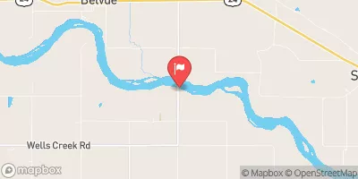
 Kansas R Nr Belvue
|
1370cfs |
 Soldier C Nr Delia
|
2cfs |
 Kansas R At Wamego
|
1150cfs |
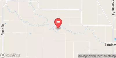
 Rock C Nr Louisville
|
16cfs |
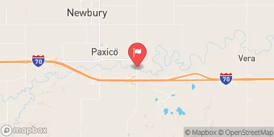
 Mill C Nr Paxico
|
25cfs |
Dam Data Reference
Condition Assessment
SatisfactoryNo existing or potential dam safety deficiencies are recognized. Acceptable performance is expected under all loading conditions (static, hydrologic, seismic) in accordance with the minimum applicable state or federal regulatory criteria or tolerable risk guidelines.
Fair
No existing dam safety deficiencies are recognized for normal operating conditions. Rare or extreme hydrologic and/or seismic events may result in a dam safety deficiency. Risk may be in the range to take further action. Note: Rare or extreme event is defined by the regulatory agency based on their minimum
Poor A dam safety deficiency is recognized for normal operating conditions which may realistically occur. Remedial action is necessary. POOR may also be used when uncertainties exist as to critical analysis parameters which identify a potential dam safety deficiency. Investigations and studies are necessary.
Unsatisfactory
A dam safety deficiency is recognized that requires immediate or emergency remedial action for problem resolution.
Not Rated
The dam has not been inspected, is not under state or federal jurisdiction, or has been inspected but, for whatever reason, has not been rated.
Not Available
Dams for which the condition assessment is restricted to approved government users.
Hazard Potential Classification
HighDams assigned the high hazard potential classification are those where failure or mis-operation will probably cause loss of human life.
Significant
Dams assigned the significant hazard potential classification are those dams where failure or mis-operation results in no probable loss of human life but can cause economic loss, environment damage, disruption of lifeline facilities, or impact other concerns. Significant hazard potential classification dams are often located in predominantly rural or agricultural areas but could be in areas with population and significant infrastructure.
Low
Dams assigned the low hazard potential classification are those where failure or mis-operation results in no probable loss of human life and low economic and/or environmental losses. Losses are principally limited to the owner's property.
Undetermined
Dams for which a downstream hazard potential has not been designated or is not provided.
Not Available
Dams for which the downstream hazard potential is restricted to approved government users.

 Frd No 6