Summary
Built in 1977 by the USDA NRCS, this dam serves the primary purpose of flood risk reduction along the Rattlesnake Creek-TR. With a height of 28 feet and a length of 1330 feet, Frd No 27 has a storage capacity of 354.03 acre-feet and covers a surface area of 12.45 acres.
Managed by the Kansas Department of Agriculture, Frd No 27 is regulated, permitted, inspected, and enforced by the state agency to ensure its safety and functionality. Despite being classified as having a low hazard potential, the dam is rated as not assessed for its condition. With a moderate risk assessment score of 3, there are currently no emergency action plans prepared for Frd No 27, highlighting the potential need for additional risk management measures to be implemented in the future.
Overall, Frd No 27 plays a crucial role in protecting the surrounding area from flood risks, showcasing the collaborative efforts between local government agencies, designers, and state regulators to ensure the safety and effectiveness of water resource infrastructure. For water resource and climate enthusiasts, understanding the details and management of dams like Frd No 27 is essential in promoting sustainable and resilient water management practices in the face of changing environmental conditions.
°F
°F
mph
Wind
%
Humidity
15-Day Weather Outlook
Year Completed |
1977 |
Dam Length |
1330 |
Dam Height |
28 |
River Or Stream |
RATTLESNAKE CREEK-TR |
Primary Dam Type |
Earth |
Surface Area |
12.45 |
Hydraulic Height |
24 |
Drainage Area |
0.98 |
Nid Storage |
354.03 |
Structural Height |
28 |
Outlet Gates |
None |
Hazard Potential |
Low |
Foundations |
Unlisted/Unknown |
Nid Height |
28 |
Seasonal Comparison
5-Day Hourly Forecast Detail
Nearby Streamflow Levels
 Solomon R At Beloit
|
16cfs |
 Salt C Nr Ada
|
25cfs |
 Solomon R Nr Glen Elder
|
16cfs |
 Saline R At Tescott
|
23cfs |
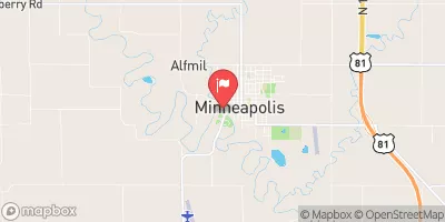 Solomon R Nr Minneapolis
|
40cfs |
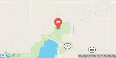 Saline R At Wilson Dam
|
7cfs |
Dam Data Reference
Condition Assessment
SatisfactoryNo existing or potential dam safety deficiencies are recognized. Acceptable performance is expected under all loading conditions (static, hydrologic, seismic) in accordance with the minimum applicable state or federal regulatory criteria or tolerable risk guidelines.
Fair
No existing dam safety deficiencies are recognized for normal operating conditions. Rare or extreme hydrologic and/or seismic events may result in a dam safety deficiency. Risk may be in the range to take further action. Note: Rare or extreme event is defined by the regulatory agency based on their minimum
Poor A dam safety deficiency is recognized for normal operating conditions which may realistically occur. Remedial action is necessary. POOR may also be used when uncertainties exist as to critical analysis parameters which identify a potential dam safety deficiency. Investigations and studies are necessary.
Unsatisfactory
A dam safety deficiency is recognized that requires immediate or emergency remedial action for problem resolution.
Not Rated
The dam has not been inspected, is not under state or federal jurisdiction, or has been inspected but, for whatever reason, has not been rated.
Not Available
Dams for which the condition assessment is restricted to approved government users.
Hazard Potential Classification
HighDams assigned the high hazard potential classification are those where failure or mis-operation will probably cause loss of human life.
Significant
Dams assigned the significant hazard potential classification are those dams where failure or mis-operation results in no probable loss of human life but can cause economic loss, environment damage, disruption of lifeline facilities, or impact other concerns. Significant hazard potential classification dams are often located in predominantly rural or agricultural areas but could be in areas with population and significant infrastructure.
Low
Dams assigned the low hazard potential classification are those where failure or mis-operation results in no probable loss of human life and low economic and/or environmental losses. Losses are principally limited to the owner's property.
Undetermined
Dams for which a downstream hazard potential has not been designated or is not provided.
Not Available
Dams for which the downstream hazard potential is restricted to approved government users.

 Frd No 27