Summary
With a dam height of 19.8 feet and a length of 1246 feet, it provides a storage capacity of 948 acre-feet and covers a surface area of 17 acres. The dam's spillway, with a width of 40 feet, is uncontrolled, allowing for a maximum discharge of 1106 cubic feet per second.
Despite being classified with a low hazard potential and a moderate risk assessment, Frd No 3 has not been rated for its condition assessment. The dam does not have outlet gates and has not been inspected recently, with the inspection frequency marked as 0. While it meets state regulation requirements and has state jurisdiction, it lacks an Emergency Action Plan (EAP) and updated emergency contacts. With its strategic location and purpose in mind, Frd No 3 serves as a crucial infrastructure for flood risk mitigation in the region, managed by the Kansas Department of Agriculture.
Year Completed |
1984 |
Dam Length |
1246 |
Dam Height |
19.8 |
River Or Stream |
WET WALNUT CREEK-TR |
Primary Dam Type |
Earth |
Surface Area |
17 |
Drainage Area |
2.72 |
Nid Storage |
948 |
Outlet Gates |
None |
Hazard Potential |
Low |
Foundations |
Unlisted/Unknown |
Nid Height |
20 |
Seasonal Comparison
Hourly Weather Forecast
Nearby Streamflow Levels
Dam Data Reference
Condition Assessment
SatisfactoryNo existing or potential dam safety deficiencies are recognized. Acceptable performance is expected under all loading conditions (static, hydrologic, seismic) in accordance with the minimum applicable state or federal regulatory criteria or tolerable risk guidelines.
Fair
No existing dam safety deficiencies are recognized for normal operating conditions. Rare or extreme hydrologic and/or seismic events may result in a dam safety deficiency. Risk may be in the range to take further action. Note: Rare or extreme event is defined by the regulatory agency based on their minimum
Poor A dam safety deficiency is recognized for normal operating conditions which may realistically occur. Remedial action is necessary. POOR may also be used when uncertainties exist as to critical analysis parameters which identify a potential dam safety deficiency. Investigations and studies are necessary.
Unsatisfactory
A dam safety deficiency is recognized that requires immediate or emergency remedial action for problem resolution.
Not Rated
The dam has not been inspected, is not under state or federal jurisdiction, or has been inspected but, for whatever reason, has not been rated.
Not Available
Dams for which the condition assessment is restricted to approved government users.
Hazard Potential Classification
HighDams assigned the high hazard potential classification are those where failure or mis-operation will probably cause loss of human life.
Significant
Dams assigned the significant hazard potential classification are those dams where failure or mis-operation results in no probable loss of human life but can cause economic loss, environment damage, disruption of lifeline facilities, or impact other concerns. Significant hazard potential classification dams are often located in predominantly rural or agricultural areas but could be in areas with population and significant infrastructure.
Low
Dams assigned the low hazard potential classification are those where failure or mis-operation results in no probable loss of human life and low economic and/or environmental losses. Losses are principally limited to the owner's property.
Undetermined
Dams for which a downstream hazard potential has not been designated or is not provided.
Not Available
Dams for which the downstream hazard potential is restricted to approved government users.

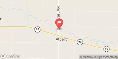
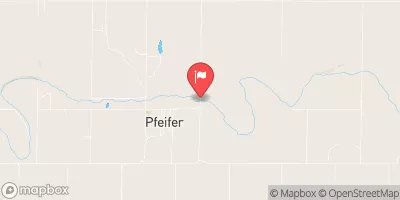
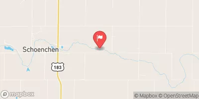
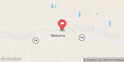
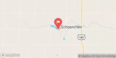
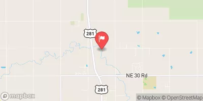
 Frd No 3