Summary
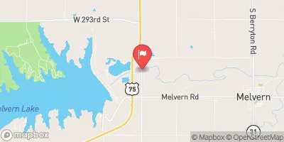
Owned by the local government and regulated by the Kansas Department of Agriculture, this earth dam stands at a height of 38 feet and stretches 2400 feet in length. Completed in 1991, it serves the primary purpose of flood risk reduction for the South Big Creek-TR.
Managed by the USDA NRCS, Frd No 7 has a storage capacity of 2592 acre-feet and covers a surface area of 55 acres. With a low hazard potential and moderate risk assessment, this structure plays a crucial role in safeguarding the surrounding area from potential flooding events. Despite its importance, the dam's condition assessment is currently not rated, highlighting the need for ongoing monitoring and maintenance efforts.
As a key component of the local water resource infrastructure, Frd No 7 serves as a testament to the collaborative efforts between federal and state agencies in protecting communities from the impacts of extreme weather events. With its strategic location and design, this dam stands as a symbol of resilience in the face of climate challenges, providing a valuable resource for water resource and climate enthusiasts to study and appreciate.
°F
°F
mph
Wind
%
Humidity
15-Day Weather Outlook
Year Completed |
1991 |
Dam Length |
2400 |
Dam Height |
38 |
River Or Stream |
SOUTH BIG CREEK-TR |
Primary Dam Type |
Earth |
Surface Area |
55 |
Drainage Area |
6.12 |
Nid Storage |
2592 |
Outlet Gates |
None |
Hazard Potential |
Low |
Foundations |
Unlisted/Unknown |
Nid Height |
38 |
Seasonal Comparison
5-Day Hourly Forecast Detail
Nearby Streamflow Levels
 Verdigris R Nr Virgil
|
234cfs |
 Neosho R At Burlington
|
4610cfs |
 Neosho R Nr Iola
|
5290cfs |
 Otter C At Climax
|
29cfs |
 Marais Des Cygnes R At Melvern
|
1400cfs |
 Neosho R Nr Americus
|
109cfs |
Dam Data Reference
Condition Assessment
SatisfactoryNo existing or potential dam safety deficiencies are recognized. Acceptable performance is expected under all loading conditions (static, hydrologic, seismic) in accordance with the minimum applicable state or federal regulatory criteria or tolerable risk guidelines.
Fair
No existing dam safety deficiencies are recognized for normal operating conditions. Rare or extreme hydrologic and/or seismic events may result in a dam safety deficiency. Risk may be in the range to take further action. Note: Rare or extreme event is defined by the regulatory agency based on their minimum
Poor A dam safety deficiency is recognized for normal operating conditions which may realistically occur. Remedial action is necessary. POOR may also be used when uncertainties exist as to critical analysis parameters which identify a potential dam safety deficiency. Investigations and studies are necessary.
Unsatisfactory
A dam safety deficiency is recognized that requires immediate or emergency remedial action for problem resolution.
Not Rated
The dam has not been inspected, is not under state or federal jurisdiction, or has been inspected but, for whatever reason, has not been rated.
Not Available
Dams for which the condition assessment is restricted to approved government users.
Hazard Potential Classification
HighDams assigned the high hazard potential classification are those where failure or mis-operation will probably cause loss of human life.
Significant
Dams assigned the significant hazard potential classification are those dams where failure or mis-operation results in no probable loss of human life but can cause economic loss, environment damage, disruption of lifeline facilities, or impact other concerns. Significant hazard potential classification dams are often located in predominantly rural or agricultural areas but could be in areas with population and significant infrastructure.
Low
Dams assigned the low hazard potential classification are those where failure or mis-operation results in no probable loss of human life and low economic and/or environmental losses. Losses are principally limited to the owner's property.
Undetermined
Dams for which a downstream hazard potential has not been designated or is not provided.
Not Available
Dams for which the downstream hazard potential is restricted to approved government users.

 Frd No 7