Dd No H-24 Reservoir Report
Last Updated: February 23, 2026
Dd No H-24 is a local government-owned dam located in Greeley, Kansas, along the Pottawatomie Creek.
Summary
Built in 1984 by the USDA-SCS, this Earth dam stands at a height of 31.6 feet and has a storage capacity of 733.2 acre-feet. Its primary purpose is flood risk reduction, serving to protect the surrounding area from potential water-related disasters.
Despite its low hazard potential, the dam is regulated by the Kansas Department of Agriculture and undergoes regular inspections and enforcement to ensure its structural integrity. With a moderate risk assessment rating of 3, Dd No H-24 is considered to have a manageable level of risk associated with its operation. The dam's condition is currently not rated, indicating a need for further assessment to determine its overall stability and safety.
For water resource and climate enthusiasts, Dd No H-24 provides an interesting case study in flood risk reduction infrastructure in Kansas. Its location, design, and regulatory oversight offer valuable insights into the complexities of managing water resources in a changing climate. As efforts to address climate-related challenges continue to grow, understanding the role of structures like Dd No H-24 becomes increasingly important in ensuring the resilience of communities and ecosystems in the face of water-related threats.
°F
°F
mph
Wind
%
Humidity
15-Day Weather Outlook
Year Completed |
1984 |
Dam Length |
905 |
Dam Height |
31.6 |
River Or Stream |
POTTAWATOMIE CREEK-TR |
Primary Dam Type |
Earth |
Surface Area |
17.9 |
Drainage Area |
2.24 |
Nid Storage |
733.2 |
Outlet Gates |
None |
Hazard Potential |
Low |
Foundations |
Unlisted/Unknown |
Nid Height |
32 |
Seasonal Comparison
5-Day Hourly Forecast Detail
Nearby Streamflow Levels
 Pottawatomie C At Lane
|
212cfs |
 Pottawatomie C Nr Scipio
|
15cfs |
 Marais Des Cygnes R At La Cygne
|
2930cfs |
 Marais Des Cygnes R Nr Ottawa
|
1860cfs |
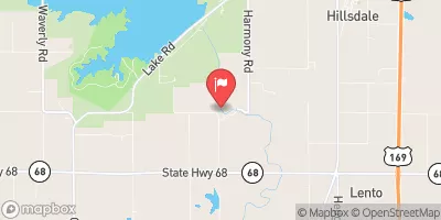 Big Bull C Nr Hillsdale
|
96cfs |
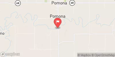 Marais Des Cygnes R Nr Pomona
|
1990cfs |
Dam Data Reference
Condition Assessment
SatisfactoryNo existing or potential dam safety deficiencies are recognized. Acceptable performance is expected under all loading conditions (static, hydrologic, seismic) in accordance with the minimum applicable state or federal regulatory criteria or tolerable risk guidelines.
Fair
No existing dam safety deficiencies are recognized for normal operating conditions. Rare or extreme hydrologic and/or seismic events may result in a dam safety deficiency. Risk may be in the range to take further action. Note: Rare or extreme event is defined by the regulatory agency based on their minimum
Poor A dam safety deficiency is recognized for normal operating conditions which may realistically occur. Remedial action is necessary. POOR may also be used when uncertainties exist as to critical analysis parameters which identify a potential dam safety deficiency. Investigations and studies are necessary.
Unsatisfactory
A dam safety deficiency is recognized that requires immediate or emergency remedial action for problem resolution.
Not Rated
The dam has not been inspected, is not under state or federal jurisdiction, or has been inspected but, for whatever reason, has not been rated.
Not Available
Dams for which the condition assessment is restricted to approved government users.
Hazard Potential Classification
HighDams assigned the high hazard potential classification are those where failure or mis-operation will probably cause loss of human life.
Significant
Dams assigned the significant hazard potential classification are those dams where failure or mis-operation results in no probable loss of human life but can cause economic loss, environment damage, disruption of lifeline facilities, or impact other concerns. Significant hazard potential classification dams are often located in predominantly rural or agricultural areas but could be in areas with population and significant infrastructure.
Low
Dams assigned the low hazard potential classification are those where failure or mis-operation results in no probable loss of human life and low economic and/or environmental losses. Losses are principally limited to the owner's property.
Undetermined
Dams for which a downstream hazard potential has not been designated or is not provided.
Not Available
Dams for which the downstream hazard potential is restricted to approved government users.
Area Campgrounds
| Location | Reservations | Toilets |
|---|---|---|
 John Brown Memorial Park
|
||
 Osawatomie City Lake
|
||
 Lake Garnett City Park
|
||
 South Lake Veterans Memorial Park - Garnett
|

 Dd No H-24