Gs Dd No D-30 Reservoir Report
Nearby: Dd No D-27 Westphalia Dam
Last Updated: January 2, 2026
Gs Dd No D-30, located in Anderson County, Kansas, is a local government-owned dam designed for flood risk reduction purposes.
°F
°F
mph
Wind
%
Humidity
Summary
This Earth-type dam stands at a height of 24 feet and spans a length of 640 feet, with a storage capacity of 222 acre-feet. The dam's primary purpose is debris control and flood risk reduction, serving to protect the surrounding area from potential flooding events.
Managed by the Kansas Department of Agriculture, Gs Dd No D-30 is regulated, permitted, inspected, and enforced by state authorities to ensure its structural integrity and overall safety. With a low hazard potential and a condition assessment of "Not Rated," the dam is equipped with outlet gates and has a normal storage capacity of 34.8 acre-feet. Despite not having a designated spillway type or width, the dam is designed to handle a maximum discharge of 1028 cubic feet per second, providing crucial flood protection for the local community.
While the dam has not been modified in recent years and lacks a formal Emergency Action Plan (EAP), Gs Dd No D-30 remains a key component of the flood management infrastructure in Anderson County. With its strategic location and vital role in reducing flood risks, this dam serves as a critical asset in safeguarding the surrounding area from potential water-related disasters.
Dam Length |
640 |
Dam Height |
24 |
Primary Dam Type |
Earth |
Surface Area |
7.75 |
Drainage Area |
0.42 |
Nid Storage |
222 |
Outlet Gates |
None |
Hazard Potential |
Low |
Foundations |
Unlisted/Unknown |
Nid Height |
24 |
Seasonal Comparison
Weather Forecast
Nearby Streamflow Levels
 Neosho R At Burlington
|
813cfs |
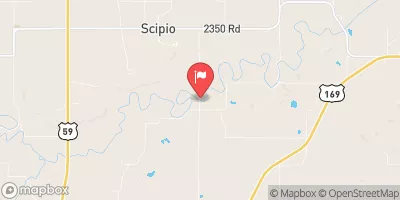
 Pottawatomie C Nr Scipio
|
15cfs |
 Neosho R Nr Iola
|
603cfs |
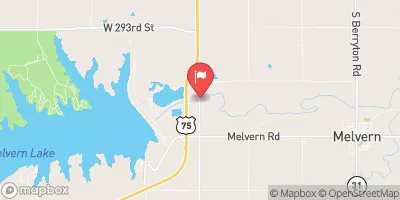
 Marais Des Cygnes R At Melvern
|
107cfs |
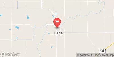
 Pottawatomie C At Lane
|
4cfs |
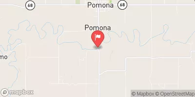
 Marais Des Cygnes R Nr Pomona
|
53cfs |
Dam Data Reference
Condition Assessment
SatisfactoryNo existing or potential dam safety deficiencies are recognized. Acceptable performance is expected under all loading conditions (static, hydrologic, seismic) in accordance with the minimum applicable state or federal regulatory criteria or tolerable risk guidelines.
Fair
No existing dam safety deficiencies are recognized for normal operating conditions. Rare or extreme hydrologic and/or seismic events may result in a dam safety deficiency. Risk may be in the range to take further action. Note: Rare or extreme event is defined by the regulatory agency based on their minimum
Poor A dam safety deficiency is recognized for normal operating conditions which may realistically occur. Remedial action is necessary. POOR may also be used when uncertainties exist as to critical analysis parameters which identify a potential dam safety deficiency. Investigations and studies are necessary.
Unsatisfactory
A dam safety deficiency is recognized that requires immediate or emergency remedial action for problem resolution.
Not Rated
The dam has not been inspected, is not under state or federal jurisdiction, or has been inspected but, for whatever reason, has not been rated.
Not Available
Dams for which the condition assessment is restricted to approved government users.
Hazard Potential Classification
HighDams assigned the high hazard potential classification are those where failure or mis-operation will probably cause loss of human life.
Significant
Dams assigned the significant hazard potential classification are those dams where failure or mis-operation results in no probable loss of human life but can cause economic loss, environment damage, disruption of lifeline facilities, or impact other concerns. Significant hazard potential classification dams are often located in predominantly rural or agricultural areas but could be in areas with population and significant infrastructure.
Low
Dams assigned the low hazard potential classification are those where failure or mis-operation results in no probable loss of human life and low economic and/or environmental losses. Losses are principally limited to the owner's property.
Undetermined
Dams for which a downstream hazard potential has not been designated or is not provided.
Not Available
Dams for which the downstream hazard potential is restricted to approved government users.

 Gs Dd No D-30