Frd No 13 Reservoir Report
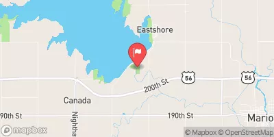
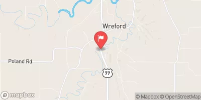
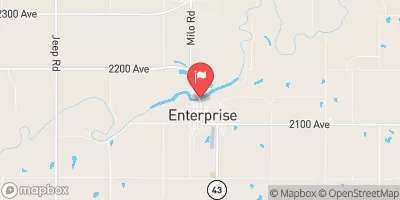
Nearby: Dd No 112 (Gutsch) Frd No 12
Last Updated: February 1, 2026
Frd No 13 is a local government-owned earth dam located in Diamond Springs, Kansas, designed by Bucher, Willis & Ratliff.
°F
°F
mph
Wind
%
Humidity
15-Day Weather Outlook
Summary
The dam's primary purpose is flood risk reduction for the surrounding area along Camp Creek. With a dam height of 34.7 feet and a length of 1880 feet, it has a storage capacity of 2610 acre-feet and a drainage area of 6.87 square miles. The dam has a low hazard potential and a moderate risk assessment rating.
The dam does not have any associated structures and has not been rated for its condition assessment. It does not have outlet gates and features an uncontrolled spillway with a width of 100 feet. The dam's emergency action plan status, inundation maps, and risk management measures are currently not specified in the data. With its location in a flood-prone area and its importance for flood risk reduction, Frd No 13 serves as a vital infrastructure for water resource and climate management in Morris County, Kansas.
Despite its low hazard potential, Frd No 13 plays a crucial role in mitigating flood risks in the region, especially along Camp Creek. As a state-regulated dam under the jurisdiction of the Kansas Department of Agriculture, it undergoes regular inspections, permitting, and enforcement to ensure its structural integrity and functionality. Water resource and climate enthusiasts can appreciate the engineering and regulatory efforts involved in maintaining Frd No 13 for the safety and protection of the local community and environment.
Dam Length |
1880 |
Dam Height |
34.7 |
River Or Stream |
CAMP CREEK |
Primary Dam Type |
Earth |
Surface Area |
42 |
Drainage Area |
6.87 |
Nid Storage |
2610 |
Outlet Gates |
None |
Hazard Potential |
Low |
Foundations |
Unlisted/Unknown |
Nid Height |
35 |
Seasonal Comparison
Hourly Weather Forecast
Nearby Streamflow Levels
 Neosho R At Council Grove
|
19cfs |
 N Cottonwood R Bl Marion Lk
|
2cfs |
 Cottonwood R Nr Florence
|
92cfs |
 Lyon C Nr Junction City
|
17cfs |
 Smoky Hill R At Enterprise
|
377cfs |
 Cedar C Nr Cedar Point
|
31cfs |
Dam Data Reference
Condition Assessment
SatisfactoryNo existing or potential dam safety deficiencies are recognized. Acceptable performance is expected under all loading conditions (static, hydrologic, seismic) in accordance with the minimum applicable state or federal regulatory criteria or tolerable risk guidelines.
Fair
No existing dam safety deficiencies are recognized for normal operating conditions. Rare or extreme hydrologic and/or seismic events may result in a dam safety deficiency. Risk may be in the range to take further action. Note: Rare or extreme event is defined by the regulatory agency based on their minimum
Poor A dam safety deficiency is recognized for normal operating conditions which may realistically occur. Remedial action is necessary. POOR may also be used when uncertainties exist as to critical analysis parameters which identify a potential dam safety deficiency. Investigations and studies are necessary.
Unsatisfactory
A dam safety deficiency is recognized that requires immediate or emergency remedial action for problem resolution.
Not Rated
The dam has not been inspected, is not under state or federal jurisdiction, or has been inspected but, for whatever reason, has not been rated.
Not Available
Dams for which the condition assessment is restricted to approved government users.
Hazard Potential Classification
HighDams assigned the high hazard potential classification are those where failure or mis-operation will probably cause loss of human life.
Significant
Dams assigned the significant hazard potential classification are those dams where failure or mis-operation results in no probable loss of human life but can cause economic loss, environment damage, disruption of lifeline facilities, or impact other concerns. Significant hazard potential classification dams are often located in predominantly rural or agricultural areas but could be in areas with population and significant infrastructure.
Low
Dams assigned the low hazard potential classification are those where failure or mis-operation results in no probable loss of human life and low economic and/or environmental losses. Losses are principally limited to the owner's property.
Undetermined
Dams for which a downstream hazard potential has not been designated or is not provided.
Not Available
Dams for which the downstream hazard potential is restricted to approved government users.

 Frd No 13