Summary
Completed in 1994, this dam serves the primary purpose of flood risk reduction and debris control. With a height of 33.6 feet and a length of 610 feet, it has a storage capacity of 894.45 acre-feet and a drainage area of 2.57 square miles.
Managed by the Kansas Department of Agriculture, Dd No 25 is regulated, permitted, inspected, and enforced by state authorities to ensure its safety and functionality. Despite being classified as a low hazard potential structure, it is considered to have a moderate risk level, reflecting the importance of ongoing risk management measures. The dam has not been rated for its condition, but it meets state guidelines for emergency action plans and inundation maps.
Although Dd No 25 does not have any associated structures or outlet gates, it plays a crucial role in mitigating flood risks in the region. With its strategic location and design specifications, this dam contributes to the overall resilience of the local water resource system and provides valuable protection to surrounding communities from potential flooding events.
°F
°F
mph
Wind
%
Humidity
15-Day Weather Outlook
Year Completed |
1994 |
Dam Length |
610 |
Dam Height |
33.6 |
River Or Stream |
LITTLE ARKANSAS RIVER-TR |
Primary Dam Type |
Earth |
Surface Area |
27.76 |
Drainage Area |
2.57 |
Nid Storage |
894.45 |
Outlet Gates |
None |
Hazard Potential |
Low |
Foundations |
Unlisted/Unknown |
Nid Height |
34 |
Seasonal Comparison
5-Day Hourly Forecast Detail
Nearby Streamflow Levels
 Cow C Nr Lyons
|
10cfs |
 Smoky Hill R Nr Langley
|
79cfs |
 Arkansas R Nr Nickerson
|
121cfs |
 Smoky Hill R At Ellsworth
|
35cfs |
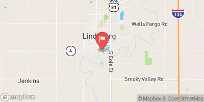 Smoky Hill R At Lindsborg
|
98cfs |
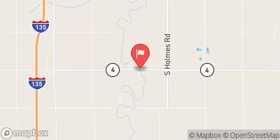 Smoky Hill R Nr Mentor
|
91cfs |
Dam Data Reference
Condition Assessment
SatisfactoryNo existing or potential dam safety deficiencies are recognized. Acceptable performance is expected under all loading conditions (static, hydrologic, seismic) in accordance with the minimum applicable state or federal regulatory criteria or tolerable risk guidelines.
Fair
No existing dam safety deficiencies are recognized for normal operating conditions. Rare or extreme hydrologic and/or seismic events may result in a dam safety deficiency. Risk may be in the range to take further action. Note: Rare or extreme event is defined by the regulatory agency based on their minimum
Poor A dam safety deficiency is recognized for normal operating conditions which may realistically occur. Remedial action is necessary. POOR may also be used when uncertainties exist as to critical analysis parameters which identify a potential dam safety deficiency. Investigations and studies are necessary.
Unsatisfactory
A dam safety deficiency is recognized that requires immediate or emergency remedial action for problem resolution.
Not Rated
The dam has not been inspected, is not under state or federal jurisdiction, or has been inspected but, for whatever reason, has not been rated.
Not Available
Dams for which the condition assessment is restricted to approved government users.
Hazard Potential Classification
HighDams assigned the high hazard potential classification are those where failure or mis-operation will probably cause loss of human life.
Significant
Dams assigned the significant hazard potential classification are those dams where failure or mis-operation results in no probable loss of human life but can cause economic loss, environment damage, disruption of lifeline facilities, or impact other concerns. Significant hazard potential classification dams are often located in predominantly rural or agricultural areas but could be in areas with population and significant infrastructure.
Low
Dams assigned the low hazard potential classification are those where failure or mis-operation results in no probable loss of human life and low economic and/or environmental losses. Losses are principally limited to the owner's property.
Undetermined
Dams for which a downstream hazard potential has not been designated or is not provided.
Not Available
Dams for which the downstream hazard potential is restricted to approved government users.

 Dd No 25