Cott Dam Reservoir Report
Nearby: Mellies Pond Amstein
Last Updated: January 11, 2026
Cott Dam, located in Clay Center, Kansas, is a privately owned structure regulated by the Kansas Department of Agriculture.
°F
°F
mph
Wind
%
Humidity
Summary
The dam, designed by SCS, serves the primary purpose of irrigation and is situated along the Republican River. With a height of 38.8 feet and a storage capacity of 85 acre-feet, Cott Dam provides essential water resources for agricultural activities in the area.
This earth dam, with buttress core types, has a normal storage capacity of 51.7 acre-feet and a surface area of 4.4 acres. Although the hazard potential is rated as low, the dam has not been inspected since March 1995. Despite its age, Cott Dam continues to play a vital role in water resource management and irrigation in the region. As an enthusiast of water resources and climate, Cott Dam presents an interesting case study in the maintenance and regulation of essential infrastructure for agricultural sustainability.
As a water resource enthusiast, exploring the history and functionality of Cott Dam provides valuable insights into the management of irrigation systems in Kansas. The dam's location, design, and storage capacity all contribute to its significance in supporting agricultural activities along the Republican River. However, the lack of recent inspections raises questions about the ongoing maintenance and safety of this crucial water resource infrastructure. In-depth research into the operation and regulation of Cott Dam could offer valuable lessons for sustainable water management practices in the face of changing climate conditions.
Dam Length |
350 |
Dam Height |
38.8 |
River Or Stream |
REPUBLICAN RIVER-TR |
Primary Dam Type |
Earth |
Surface Area |
4.4 |
Drainage Area |
0.16 |
Nid Storage |
85 |
Outlet Gates |
None |
Hazard Potential |
Low |
Foundations |
Unlisted/Unknown |
Nid Height |
39 |
Seasonal Comparison
Weather Forecast
Nearby Streamflow Levels
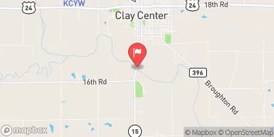 Republican R At Clay Center
|
224cfs |
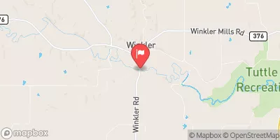 Fancy C At Winkler
|
8cfs |
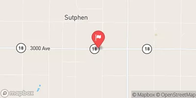 Chapman C Nr Chapman
|
55cfs |
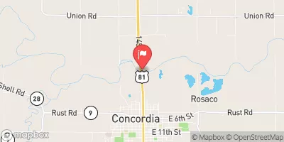 Republican R At Concordia
|
167cfs |
 Mill C At Washington
|
26cfs |
 Republican R Bl Milford Dam
|
504cfs |
Dam Data Reference
Condition Assessment
SatisfactoryNo existing or potential dam safety deficiencies are recognized. Acceptable performance is expected under all loading conditions (static, hydrologic, seismic) in accordance with the minimum applicable state or federal regulatory criteria or tolerable risk guidelines.
Fair
No existing dam safety deficiencies are recognized for normal operating conditions. Rare or extreme hydrologic and/or seismic events may result in a dam safety deficiency. Risk may be in the range to take further action. Note: Rare or extreme event is defined by the regulatory agency based on their minimum
Poor A dam safety deficiency is recognized for normal operating conditions which may realistically occur. Remedial action is necessary. POOR may also be used when uncertainties exist as to critical analysis parameters which identify a potential dam safety deficiency. Investigations and studies are necessary.
Unsatisfactory
A dam safety deficiency is recognized that requires immediate or emergency remedial action for problem resolution.
Not Rated
The dam has not been inspected, is not under state or federal jurisdiction, or has been inspected but, for whatever reason, has not been rated.
Not Available
Dams for which the condition assessment is restricted to approved government users.
Hazard Potential Classification
HighDams assigned the high hazard potential classification are those where failure or mis-operation will probably cause loss of human life.
Significant
Dams assigned the significant hazard potential classification are those dams where failure or mis-operation results in no probable loss of human life but can cause economic loss, environment damage, disruption of lifeline facilities, or impact other concerns. Significant hazard potential classification dams are often located in predominantly rural or agricultural areas but could be in areas with population and significant infrastructure.
Low
Dams assigned the low hazard potential classification are those where failure or mis-operation results in no probable loss of human life and low economic and/or environmental losses. Losses are principally limited to the owner's property.
Undetermined
Dams for which a downstream hazard potential has not been designated or is not provided.
Not Available
Dams for which the downstream hazard potential is restricted to approved government users.

 Cott Dam