Summary
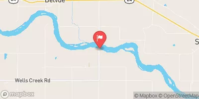
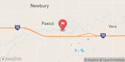
Owned by the local government and regulated by the Kansas Department of Agriculture, this earth dam stands at a height of 41 feet and stretches 1375 feet in length. Completed in 2004, it provides a storage capacity of 737.67 acre-feet, with a normal storage level of 279.65 acre-feet over a surface area of 31.23 acres.
With a high hazard potential and a satisfactory condition assessment, Dam 131 has a spillway width of 100 feet and is classified as uncontrolled. The dam is inspected every three years, with the last inspection conducted in April 2018. Capable of handling moderate risk, this structure plays a vital role in mitigating flood risks for the surrounding area. As a key part of flood risk reduction efforts, Dam 131 serves as a crucial component of water resource management in Shawnee County, Kansas.
In the event of an emergency, the dam's emergency action plan (EAP) status and risk management measures are not currently specified. However, with its strategic location and robust design, Dam 131 continues to be a valuable asset in safeguarding the local community from potential flooding threats. For water resource and climate enthusiasts, this dam represents a critical infrastructure that plays a significant role in protecting lives and property from the impacts of extreme weather events.
Year Completed |
2004 |
Dam Length |
1375 |
Dam Height |
41 |
River Or Stream |
PEANAZ CREEK |
Primary Dam Type |
Earth |
Surface Area |
31.23 |
Drainage Area |
0.96 |
Nid Storage |
737.67 |
Outlet Gates |
None |
Hazard Potential |
High |
Foundations |
Unlisted/Unknown |
Nid Height |
41 |
Seasonal Comparison
Weather Forecast
Nearby Streamflow Levels
 Soldier C Nr Delia
|
13cfs |
 Kansas R Nr Belvue
|
1300cfs |
 Soldier C Nr Topeka
|
42cfs |
 Mill C Nr Paxico
|
55cfs |
 Kansas R At Topeka
|
1780cfs |
 Vermillion C Nr Wamego
|
15cfs |
Dam Data Reference
Condition Assessment
SatisfactoryNo existing or potential dam safety deficiencies are recognized. Acceptable performance is expected under all loading conditions (static, hydrologic, seismic) in accordance with the minimum applicable state or federal regulatory criteria or tolerable risk guidelines.
Fair
No existing dam safety deficiencies are recognized for normal operating conditions. Rare or extreme hydrologic and/or seismic events may result in a dam safety deficiency. Risk may be in the range to take further action. Note: Rare or extreme event is defined by the regulatory agency based on their minimum
Poor A dam safety deficiency is recognized for normal operating conditions which may realistically occur. Remedial action is necessary. POOR may also be used when uncertainties exist as to critical analysis parameters which identify a potential dam safety deficiency. Investigations and studies are necessary.
Unsatisfactory
A dam safety deficiency is recognized that requires immediate or emergency remedial action for problem resolution.
Not Rated
The dam has not been inspected, is not under state or federal jurisdiction, or has been inspected but, for whatever reason, has not been rated.
Not Available
Dams for which the condition assessment is restricted to approved government users.
Hazard Potential Classification
HighDams assigned the high hazard potential classification are those where failure or mis-operation will probably cause loss of human life.
Significant
Dams assigned the significant hazard potential classification are those dams where failure or mis-operation results in no probable loss of human life but can cause economic loss, environment damage, disruption of lifeline facilities, or impact other concerns. Significant hazard potential classification dams are often located in predominantly rural or agricultural areas but could be in areas with population and significant infrastructure.
Low
Dams assigned the low hazard potential classification are those where failure or mis-operation results in no probable loss of human life and low economic and/or environmental losses. Losses are principally limited to the owner's property.
Undetermined
Dams for which a downstream hazard potential has not been designated or is not provided.
Not Available
Dams for which the downstream hazard potential is restricted to approved government users.

 131
131