N-1 Reservoir Report
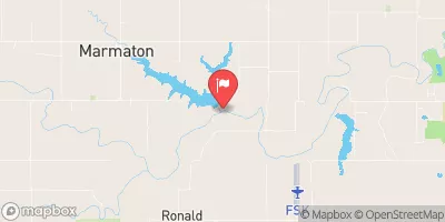
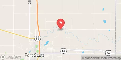
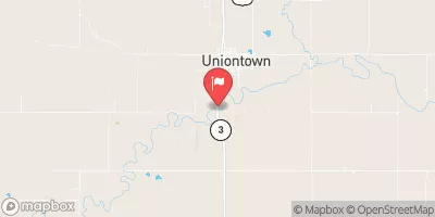
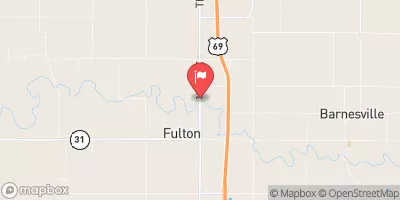
Nearby: Rock Creek Dam Thomas Site
Last Updated: February 2, 2026
N-1, also known as Cedar Creek Reservoir, is a flood risk reduction dam located in Bourbon County, Kansas.
°F
°F
mph
Wind
%
Humidity
15-Day Weather Outlook
Summary
Owned by the local government and regulated by the Kansas Department of Agriculture, this earth dam stands at a height of 64 feet and was completed in 2002. With a storage capacity of 10,705.1 acre-feet and a surface area of 222.12 acres, N-1 serves multiple purposes including flood risk reduction, recreation, and water supply for the surrounding area.
Despite its low hazard potential, N-1 is currently assessed to be in poor condition, indicating a need for maintenance and potential upgrades to ensure its long-term safety and effectiveness. The dam has a moderate risk level of 3, highlighting the importance of continued monitoring and risk management measures. With no outlet gates and an uncontrolled spillway, N-1 plays a crucial role in managing water flow along Cedar Creek and protecting downstream areas from potential flooding events.
Given its strategic location and vital role in the local water resource infrastructure, N-1 serves as a key asset in managing flood risks and ensuring water supply reliability in the region. With proper maintenance and risk management efforts, this dam will continue to safeguard the community and support sustainable water resource management practices in Bourbon County, Kansas.
Year Completed |
2002 |
Dam Length |
1600 |
Dam Height |
64 |
River Or Stream |
CEDAR CREEK |
Primary Dam Type |
Earth |
Surface Area |
222.12 |
Drainage Area |
12.63 |
Nid Storage |
10705.1 |
Outlet Gates |
None |
Hazard Potential |
Low |
Foundations |
Unlisted/Unknown |
Nid Height |
64 |
Seasonal Comparison
Hourly Weather Forecast
Nearby Streamflow Levels
Dam Data Reference
Condition Assessment
SatisfactoryNo existing or potential dam safety deficiencies are recognized. Acceptable performance is expected under all loading conditions (static, hydrologic, seismic) in accordance with the minimum applicable state or federal regulatory criteria or tolerable risk guidelines.
Fair
No existing dam safety deficiencies are recognized for normal operating conditions. Rare or extreme hydrologic and/or seismic events may result in a dam safety deficiency. Risk may be in the range to take further action. Note: Rare or extreme event is defined by the regulatory agency based on their minimum
Poor A dam safety deficiency is recognized for normal operating conditions which may realistically occur. Remedial action is necessary. POOR may also be used when uncertainties exist as to critical analysis parameters which identify a potential dam safety deficiency. Investigations and studies are necessary.
Unsatisfactory
A dam safety deficiency is recognized that requires immediate or emergency remedial action for problem resolution.
Not Rated
The dam has not been inspected, is not under state or federal jurisdiction, or has been inspected but, for whatever reason, has not been rated.
Not Available
Dams for which the condition assessment is restricted to approved government users.
Hazard Potential Classification
HighDams assigned the high hazard potential classification are those where failure or mis-operation will probably cause loss of human life.
Significant
Dams assigned the significant hazard potential classification are those dams where failure or mis-operation results in no probable loss of human life but can cause economic loss, environment damage, disruption of lifeline facilities, or impact other concerns. Significant hazard potential classification dams are often located in predominantly rural or agricultural areas but could be in areas with population and significant infrastructure.
Low
Dams assigned the low hazard potential classification are those where failure or mis-operation results in no probable loss of human life and low economic and/or environmental losses. Losses are principally limited to the owner's property.
Undetermined
Dams for which a downstream hazard potential has not been designated or is not provided.
Not Available
Dams for which the downstream hazard potential is restricted to approved government users.
Area Campgrounds
| Location | Reservations | Toilets |
|---|---|---|
 Rock Creek Lake - Fort Scott
|
||
 Fort Scott Lake
|
||
 Gunn Park
|

 N-1
N-1