Summary
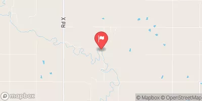
This Earth dam, completed in 2004, stands at a height of 24 feet and spans a length of 1050 feet, providing a storage capacity of 151.39 acre-feet. With a normal storage level of 57.29 acre-feet, the reservoir covers a surface area of 9.96 acres and drains an area of 0.53 square miles.
Despite its low hazard potential and moderate risk assessment, Mcgrew Reservoir has not undergone a formal condition assessment and is not currently regulated or inspected by state agencies. The spillway, with a width of 80 feet, is uncontrolled, and there are no outlet gates associated with the dam. While the reservoir does not have locks, it boasts a maximum discharge capacity of 1032 cubic feet per second, ensuring proper water management and flood control for the surrounding area. Overall, Mcgrew Reservoir presents an opportunity for water and climate enthusiasts to explore a well-maintained recreational resource nestled in the heart of Kansas.
°F
°F
mph
Wind
%
Humidity
15-Day Weather Outlook
Year Completed |
2004 |
Dam Length |
1050 |
Dam Height |
24 |
River Or Stream |
BLUFF CREEK-TR |
Primary Dam Type |
Earth |
Surface Area |
9.96 |
Drainage Area |
0.53 |
Nid Storage |
151.39 |
Outlet Gates |
None |
Hazard Potential |
Low |
Foundations |
Unlisted/Unknown |
Nid Height |
24 |
Seasonal Comparison
5-Day Hourly Forecast Detail
Nearby Streamflow Levels
 Neosho R At Council Grove
|
1cfs |
 Neosho R Nr Americus
|
216cfs |
 Marais Des Cygnes R Nr Reading
|
50cfs |
 Cottonwood R Nr Plymouth
|
934cfs |
 Dragoon C Nr Burlingame
|
28cfs |
 Mill C Nr Paxico
|
55cfs |
Dam Data Reference
Condition Assessment
SatisfactoryNo existing or potential dam safety deficiencies are recognized. Acceptable performance is expected under all loading conditions (static, hydrologic, seismic) in accordance with the minimum applicable state or federal regulatory criteria or tolerable risk guidelines.
Fair
No existing dam safety deficiencies are recognized for normal operating conditions. Rare or extreme hydrologic and/or seismic events may result in a dam safety deficiency. Risk may be in the range to take further action. Note: Rare or extreme event is defined by the regulatory agency based on their minimum
Poor A dam safety deficiency is recognized for normal operating conditions which may realistically occur. Remedial action is necessary. POOR may also be used when uncertainties exist as to critical analysis parameters which identify a potential dam safety deficiency. Investigations and studies are necessary.
Unsatisfactory
A dam safety deficiency is recognized that requires immediate or emergency remedial action for problem resolution.
Not Rated
The dam has not been inspected, is not under state or federal jurisdiction, or has been inspected but, for whatever reason, has not been rated.
Not Available
Dams for which the condition assessment is restricted to approved government users.
Hazard Potential Classification
HighDams assigned the high hazard potential classification are those where failure or mis-operation will probably cause loss of human life.
Significant
Dams assigned the significant hazard potential classification are those dams where failure or mis-operation results in no probable loss of human life but can cause economic loss, environment damage, disruption of lifeline facilities, or impact other concerns. Significant hazard potential classification dams are often located in predominantly rural or agricultural areas but could be in areas with population and significant infrastructure.
Low
Dams assigned the low hazard potential classification are those where failure or mis-operation results in no probable loss of human life and low economic and/or environmental losses. Losses are principally limited to the owner's property.
Undetermined
Dams for which a downstream hazard potential has not been designated or is not provided.
Not Available
Dams for which the downstream hazard potential is restricted to approved government users.

 Mcgrew Reservoir