Summary
Built in 2011, this dam stands at a height of 28.7 feet and has a storage capacity of 678.29 acre-feet. While its primary purpose is not specified, the dam serves as a vital resource for water management and flood control in the area.
With a low hazard potential and a moderate risk assessment score of 3, Dd No E-1 is regulated, permitted, inspected, and enforced by the Kansas Department of Agriculture. Despite not being rated for its condition, the dam's emergency action plan status and risk management measures are currently unknown. The dam's uncontrolled spillway with a width of 100 feet indicates its ability to handle excess water flow during heavy rainfall events.
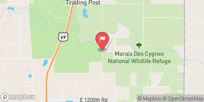
Water resource and climate enthusiasts in the area may find interest in monitoring Dd No E-1 for any updates on its condition assessment, emergency action plan, and risk management measures. The dam's location, design features, and regulatory oversight make it a key infrastructure for water management and flood protection along Turkey Creek in Bourbon, Kansas. Stay tuned for any developments regarding this important earth dam and its role in safeguarding the local community against water-related risks.
Year Completed |
2011 |
Dam Height |
28.7 |
River Or Stream |
TURKEY CREEK-TR |
Primary Dam Type |
Earth |
Surface Area |
16.1 |
Nid Storage |
678.29 |
Outlet Gates |
None |
Hazard Potential |
Low |
Foundations |
Unlisted/Unknown |
Nid Height |
29 |
Seasonal Comparison
Hourly Weather Forecast
Nearby Streamflow Levels
 Marmaton R Nr Uniontown
|
1cfs |
 Marmaton R Nr Marmaton
|
194cfs |
 Marmaton R Nr Fort Scott
|
1cfs |
 L Osage R At Fulton
|
1cfs |
 Neosho R Nr Iola
|
334cfs |
 Marais Des Cygnes R Nr Ks-Mo St Line
|
124cfs |
Dam Data Reference
Condition Assessment
SatisfactoryNo existing or potential dam safety deficiencies are recognized. Acceptable performance is expected under all loading conditions (static, hydrologic, seismic) in accordance with the minimum applicable state or federal regulatory criteria or tolerable risk guidelines.
Fair
No existing dam safety deficiencies are recognized for normal operating conditions. Rare or extreme hydrologic and/or seismic events may result in a dam safety deficiency. Risk may be in the range to take further action. Note: Rare or extreme event is defined by the regulatory agency based on their minimum
Poor A dam safety deficiency is recognized for normal operating conditions which may realistically occur. Remedial action is necessary. POOR may also be used when uncertainties exist as to critical analysis parameters which identify a potential dam safety deficiency. Investigations and studies are necessary.
Unsatisfactory
A dam safety deficiency is recognized that requires immediate or emergency remedial action for problem resolution.
Not Rated
The dam has not been inspected, is not under state or federal jurisdiction, or has been inspected but, for whatever reason, has not been rated.
Not Available
Dams for which the condition assessment is restricted to approved government users.
Hazard Potential Classification
HighDams assigned the high hazard potential classification are those where failure or mis-operation will probably cause loss of human life.
Significant
Dams assigned the significant hazard potential classification are those dams where failure or mis-operation results in no probable loss of human life but can cause economic loss, environment damage, disruption of lifeline facilities, or impact other concerns. Significant hazard potential classification dams are often located in predominantly rural or agricultural areas but could be in areas with population and significant infrastructure.
Low
Dams assigned the low hazard potential classification are those where failure or mis-operation results in no probable loss of human life and low economic and/or environmental losses. Losses are principally limited to the owner's property.
Undetermined
Dams for which a downstream hazard potential has not been designated or is not provided.
Not Available
Dams for which the downstream hazard potential is restricted to approved government users.

 Dd No E-1