


Hiatt Lake Dam Reservoir Report
Last Updated: May 2, 2026
Nearby: Rogers Farm Dam Folck Lake Dam
°F
°F
mph
Wind
%
Humidity
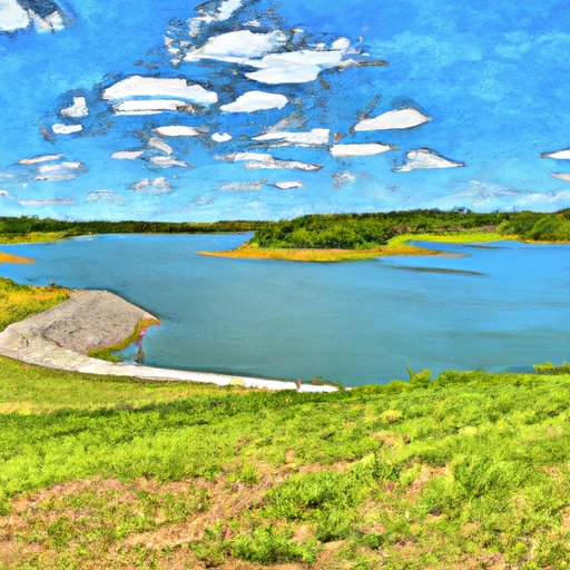
Hiatt Lake Dam, located in Weston, Missouri, is a private earth dam constructed in 1978 primarily for grade stabilization and irrigation purposes along the TR-Bee Creek.
Summary
With a structural height of 34 feet and a length of 220 feet, the dam has a storage capacity of 36 acre-feet and serves a drainage area of 12.8 square miles. The spillway, with a width of 10 feet, is uncontrolled, and the dam is categorized as having a low hazard potential and a moderate risk assessment.
Despite not being regulated or inspected by the state, Hiatt Lake Dam remains a critical infrastructure for water resource management in the area. The dam's condition is currently not rated, with no emergency action plan in place. However, its construction using stone core types and soil foundation showcases a sturdy design that has stood the test of time. The dam's location in Platte County and its association with the Rock Island District of the US Army Corps of Engineers make it a noteworthy structure for water resource and climate enthusiasts to study and appreciate.
Regional Streamflow Levels
 Platte River At Sharps Station
|
1600cfs |
 Little Platte River At Smithville
|
26cfs |
 Stranger C Nr Potter
|
199cfs |
 Platte River Near Agency
|
1440cfs |
 Stranger C Nr Tonganoxie
|
207cfs |
 Missouri River At St. Joseph
|
39800cfs |
15-Day Long Term Forecast
Year Completed |
1978 |
Dam Length |
220 |
Dam Height |
33 |
River Or Stream |
TR-BEE CREEK |
Primary Dam Type |
Earth |
Surface Area |
2 |
Hydraulic Height |
32 |
Drainage Area |
12.8 |
Nid Storage |
36 |
Structural Height |
34 |
Outlet Gates |
None |
Hazard Potential |
Low |
Foundations |
Soil |
Nid Height |
34 |
Seasonal Comparison
5-Day Hourly Forecast Detail
Dam Data Reference
Condition Assessment
SatisfactoryNo existing or potential dam safety deficiencies are recognized. Acceptable performance is expected under all loading conditions (static, hydrologic, seismic) in accordance with the minimum applicable state or federal regulatory criteria or tolerable risk guidelines.
Fair
No existing dam safety deficiencies are recognized for normal operating conditions. Rare or extreme hydrologic and/or seismic events may result in a dam safety deficiency. Risk may be in the range to take further action. Note: Rare or extreme event is defined by the regulatory agency based on their minimum
Poor A dam safety deficiency is recognized for normal operating conditions which may realistically occur. Remedial action is necessary. POOR may also be used when uncertainties exist as to critical analysis parameters which identify a potential dam safety deficiency. Investigations and studies are necessary.
Unsatisfactory
A dam safety deficiency is recognized that requires immediate or emergency remedial action for problem resolution.
Not Rated
The dam has not been inspected, is not under state or federal jurisdiction, or has been inspected but, for whatever reason, has not been rated.
Not Available
Dams for which the condition assessment is restricted to approved government users.
Hazard Potential Classification
HighDams assigned the high hazard potential classification are those where failure or mis-operation will probably cause loss of human life.
Significant
Dams assigned the significant hazard potential classification are those dams where failure or mis-operation results in no probable loss of human life but can cause economic loss, environment damage, disruption of lifeline facilities, or impact other concerns. Significant hazard potential classification dams are often located in predominantly rural or agricultural areas but could be in areas with population and significant infrastructure.
Low
Dams assigned the low hazard potential classification are those where failure or mis-operation results in no probable loss of human life and low economic and/or environmental losses. Losses are principally limited to the owner's property.
Undetermined
Dams for which a downstream hazard potential has not been designated or is not provided.
Not Available
Dams for which the downstream hazard potential is restricted to approved government users.
Area Campgrounds
| Location | Reservations | Toilets |
|---|---|---|
 Camp Miles
|
||
 Camp Conestoga
|
||
 Cottonwood Camping
|
||
 Tepee 1
|
||
 Tepee 2
|
||
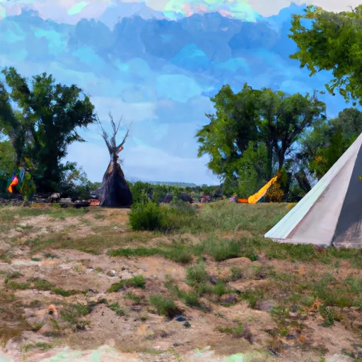 Tepee 3
|
 Smithville Reservoir Near Smithville
 Perry Lk Nr Perry
 Blue Springs Reservoir Near Blue Springs
 Longview Reservoir At Kansas City
 Clinton Lk Nr Lawrence
 Hillsdale Lk Nr Hillsdale
 Humphreys Road 20526, Platte County