
South Levee Dam Reservoir Report
Nearby: Gordan Lake Dam John Hall Dam
Last Updated: January 5, 2026
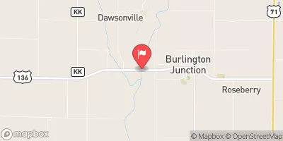
South Levee Dam in Holt, Missouri, is a Federal-owned structure under the management of the Fish and Wildlife Service.
°F
°F
mph
Wind
%
Humidity
Summary
Built in 1937 by the Bureau of Biological Survey, this Earth dam stands at a height of 10 feet with a hydraulic height of 10 feet and a structural height of 12 feet. With a length of 3400 feet and a storage capacity of 22,210 acre-feet, the primary purpose of this dam is to serve as a Fish and Wildlife Pond, providing essential habitat for local flora and fauna.
Over the years, South Levee Dam has undergone several modifications, including hydraulic and structural upgrades in 1991 and 1997. Equipped with a Controlled spillway and outlet gates, this dam has a low hazard potential and is in satisfactory condition as of the last inspection in August 2020. Despite its low hazard potential, the risk assessment categorizes South Levee Dam as having a very high risk level, emphasizing the importance of ongoing monitoring and maintenance to ensure its continued safety and functionality for the surrounding area.
Located in the Rock Island District and situated offstream, South Levee Dam plays a crucial role in managing water resources and supporting wildlife conservation efforts in the region. With its rich history and continued significance in the local ecosystem, this dam stands as a testament to the intersection of water resource management, climate resilience, and environmental stewardship.
Years Modified |
1991 - Hydraulic, 1991 - Structural, 1997 - Hydraulic, 1997 - Structural |
Year Completed |
1937 |
Dam Length |
3400 |
Dam Height |
10 |
River Or Stream |
OFFSTREAM |
Primary Dam Type |
Earth |
Surface Area |
3430 |
Hydraulic Height |
10 |
Drainage Area |
95 |
Nid Storage |
22210 |
Structural Height |
12 |
Outlet Gates |
Other Controlled, Tainter (radial) |
Hazard Potential |
Low |
Foundations |
Soil |
Nid Height |
12 |
Seasonal Comparison
Weather Forecast
Nearby Streamflow Levels
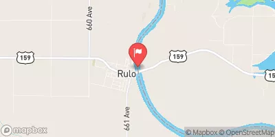 Missouri River At Rulo
|
22500cfs |
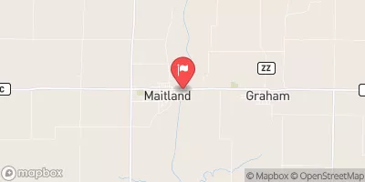 Nodaway River Near Graham
|
92cfs |
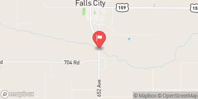 Big Nemaha River At Falls City
|
310cfs |
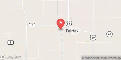 Tarkio River At Fairfax Mo
|
62cfs |
 Missouri River At St. Joseph
|
18900cfs |
 Nodaway River Near Burlington Jct
|
179cfs |
Dam Data Reference
Condition Assessment
SatisfactoryNo existing or potential dam safety deficiencies are recognized. Acceptable performance is expected under all loading conditions (static, hydrologic, seismic) in accordance with the minimum applicable state or federal regulatory criteria or tolerable risk guidelines.
Fair
No existing dam safety deficiencies are recognized for normal operating conditions. Rare or extreme hydrologic and/or seismic events may result in a dam safety deficiency. Risk may be in the range to take further action. Note: Rare or extreme event is defined by the regulatory agency based on their minimum
Poor A dam safety deficiency is recognized for normal operating conditions which may realistically occur. Remedial action is necessary. POOR may also be used when uncertainties exist as to critical analysis parameters which identify a potential dam safety deficiency. Investigations and studies are necessary.
Unsatisfactory
A dam safety deficiency is recognized that requires immediate or emergency remedial action for problem resolution.
Not Rated
The dam has not been inspected, is not under state or federal jurisdiction, or has been inspected but, for whatever reason, has not been rated.
Not Available
Dams for which the condition assessment is restricted to approved government users.
Hazard Potential Classification
HighDams assigned the high hazard potential classification are those where failure or mis-operation will probably cause loss of human life.
Significant
Dams assigned the significant hazard potential classification are those dams where failure or mis-operation results in no probable loss of human life but can cause economic loss, environment damage, disruption of lifeline facilities, or impact other concerns. Significant hazard potential classification dams are often located in predominantly rural or agricultural areas but could be in areas with population and significant infrastructure.
Low
Dams assigned the low hazard potential classification are those where failure or mis-operation results in no probable loss of human life and low economic and/or environmental losses. Losses are principally limited to the owner's property.
Undetermined
Dams for which a downstream hazard potential has not been designated or is not provided.
Not Available
Dams for which the downstream hazard potential is restricted to approved government users.
 South Levee Dam