


Gs Dd No 1-11a (Wegener) Reservoir Report
Last Updated: April 29, 2026
Nearby: Gs Dd No 2-26 Gs Dd No 2-35
°F
°F
mph
Wind
%
Humidity
Gs Dd No 1-11a (Wegener) is a dam located in Brown County, Kansas, along Roy's Creek.
Summary
Constructed in 1986 by the designers Speaker & King, this earth dam stands at a height of 42 feet and has a length of 540 feet. Its primary purpose is flood risk reduction, with a normal storage capacity of 32.5 acre-feet and a maximum discharge of 1436 cubic feet per second.
Managed and regulated by the Kansas Department of Agriculture, this dam is state-jurisdictioned and state-permitted, with state inspections and enforcement in place. Despite its low hazard potential, the dam has been assigned a moderate risk assessment of 3, indicating the need for ongoing risk management measures. The dam is equipped with an uncontrolled spillway and is surrounded by a surface area of 2.7 acres, serving as a vital infrastructure for flood protection in the region.
Overall, Gs Dd No 1-11a (Wegener) plays a crucial role in mitigating flood risks for the local community in Brown County, Kansas. As water resource and climate enthusiasts, understanding the design, capacity, and regulatory oversight of this dam provides valuable insight into the resilience of our water infrastructure and the measures in place to ensure public safety in the face of potential flooding events.
Regional Streamflow Levels
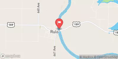 Missouri River At Rulo
|
38800cfs |
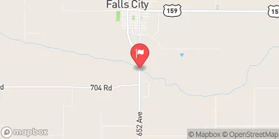 Big Nemaha River At Falls City
|
802cfs |
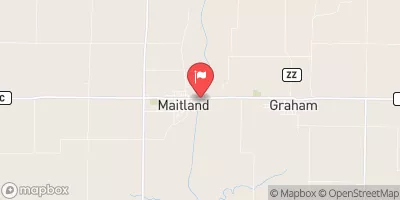 Nodaway River Near Graham
|
1830cfs |
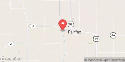 Tarkio River At Fairfax Mo
|
462cfs |
 Missouri River At St. Joseph
|
44800cfs |
 North Fork Big Nemaha River At Humboldt
|
169cfs |
15-Day Long Term Forecast
Year Completed |
1986 |
Dam Length |
540 |
Dam Height |
42 |
River Or Stream |
ROY'S CREEK-TR |
Primary Dam Type |
Earth |
Surface Area |
2.7 |
Drainage Area |
0.22 |
Nid Storage |
99 |
Outlet Gates |
None |
Hazard Potential |
Low |
Foundations |
Unlisted/Unknown |
Nid Height |
42 |
Seasonal Comparison
5-Day Hourly Forecast Detail
Dam Data Reference
Condition Assessment
SatisfactoryNo existing or potential dam safety deficiencies are recognized. Acceptable performance is expected under all loading conditions (static, hydrologic, seismic) in accordance with the minimum applicable state or federal regulatory criteria or tolerable risk guidelines.
Fair
No existing dam safety deficiencies are recognized for normal operating conditions. Rare or extreme hydrologic and/or seismic events may result in a dam safety deficiency. Risk may be in the range to take further action. Note: Rare or extreme event is defined by the regulatory agency based on their minimum
Poor A dam safety deficiency is recognized for normal operating conditions which may realistically occur. Remedial action is necessary. POOR may also be used when uncertainties exist as to critical analysis parameters which identify a potential dam safety deficiency. Investigations and studies are necessary.
Unsatisfactory
A dam safety deficiency is recognized that requires immediate or emergency remedial action for problem resolution.
Not Rated
The dam has not been inspected, is not under state or federal jurisdiction, or has been inspected but, for whatever reason, has not been rated.
Not Available
Dams for which the condition assessment is restricted to approved government users.
Hazard Potential Classification
HighDams assigned the high hazard potential classification are those where failure or mis-operation will probably cause loss of human life.
Significant
Dams assigned the significant hazard potential classification are those dams where failure or mis-operation results in no probable loss of human life but can cause economic loss, environment damage, disruption of lifeline facilities, or impact other concerns. Significant hazard potential classification dams are often located in predominantly rural or agricultural areas but could be in areas with population and significant infrastructure.
Low
Dams assigned the low hazard potential classification are those where failure or mis-operation results in no probable loss of human life and low economic and/or environmental losses. Losses are principally limited to the owner's property.
Undetermined
Dams for which a downstream hazard potential has not been designated or is not provided.
Not Available
Dams for which the downstream hazard potential is restricted to approved government users.