


Moss Lake Dam Reservoir Report
Last Updated: May 2, 2026
°F
°F
mph
Wind
%
Humidity
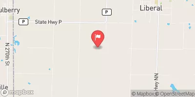
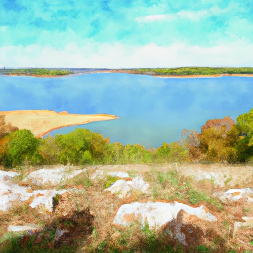
Moss Lake Dam, located in Barton County, Missouri, was completed in 1955 and is primarily used for recreational purposes.
Summary
This private earth dam stands at a height of 15 feet and has a storage capacity of 217 acre-feet, with a normal storage level of 135 acre-feet. The dam spans a surface area of 27 acres and serves a drainage area of 610 acres, regulating the flow of the TR to Glendale Dork stream.
Despite being categorized as having a low hazard potential, Moss Lake Dam has not been rated for its condition assessment. The dam does not fall under state jurisdiction or regulation, with no state permitting, inspection, or enforcement in place. While it is not owned or funded by federal agencies, this structure is managed privately and does not have an Emergency Action Plan (EAP) in place. Although the risk assessment and management measures for Moss Lake Dam are currently unknown, its serene location and recreational purpose make it a fascinating site for water resource and climate enthusiasts to explore.
Regional Streamflow Levels
 East Drywood Creek At Prairie State Park
|
0cfs |
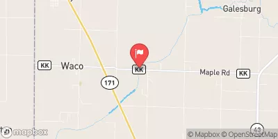 Spring River Near Waco
|
1330cfs |
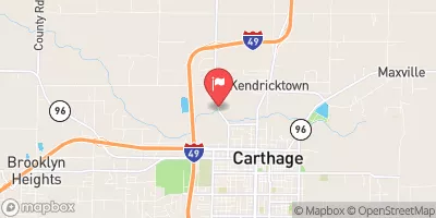 Spring River At Carthage
|
749cfs |
 Lightning C Nr Mccune
|
44cfs |
 Shoal Creek Above Joplin
|
538cfs |
 Neosho R Nr Parsons
|
7650cfs |
15-Day Long Term Forecast
Year Completed |
1955 |
Dam Height |
15 |
River Or Stream |
TR TO GLENDALE DORK |
Primary Dam Type |
Earth |
Surface Area |
27 |
Drainage Area |
610 |
Nid Storage |
217 |
Structural Height |
15 |
Hazard Potential |
Low |
Foundations |
Unlisted/Unknown |
Nid Height |
15 |
Seasonal Comparison
5-Day Hourly Forecast Detail
Dam Data Reference
Condition Assessment
SatisfactoryNo existing or potential dam safety deficiencies are recognized. Acceptable performance is expected under all loading conditions (static, hydrologic, seismic) in accordance with the minimum applicable state or federal regulatory criteria or tolerable risk guidelines.
Fair
No existing dam safety deficiencies are recognized for normal operating conditions. Rare or extreme hydrologic and/or seismic events may result in a dam safety deficiency. Risk may be in the range to take further action. Note: Rare or extreme event is defined by the regulatory agency based on their minimum
Poor A dam safety deficiency is recognized for normal operating conditions which may realistically occur. Remedial action is necessary. POOR may also be used when uncertainties exist as to critical analysis parameters which identify a potential dam safety deficiency. Investigations and studies are necessary.
Unsatisfactory
A dam safety deficiency is recognized that requires immediate or emergency remedial action for problem resolution.
Not Rated
The dam has not been inspected, is not under state or federal jurisdiction, or has been inspected but, for whatever reason, has not been rated.
Not Available
Dams for which the condition assessment is restricted to approved government users.
Hazard Potential Classification
HighDams assigned the high hazard potential classification are those where failure or mis-operation will probably cause loss of human life.
Significant
Dams assigned the significant hazard potential classification are those dams where failure or mis-operation results in no probable loss of human life but can cause economic loss, environment damage, disruption of lifeline facilities, or impact other concerns. Significant hazard potential classification dams are often located in predominantly rural or agricultural areas but could be in areas with population and significant infrastructure.
Low
Dams assigned the low hazard potential classification are those where failure or mis-operation results in no probable loss of human life and low economic and/or environmental losses. Losses are principally limited to the owner's property.
Undetermined
Dams for which a downstream hazard potential has not been designated or is not provided.
Not Available
Dams for which the downstream hazard potential is restricted to approved government users.
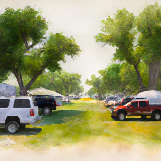
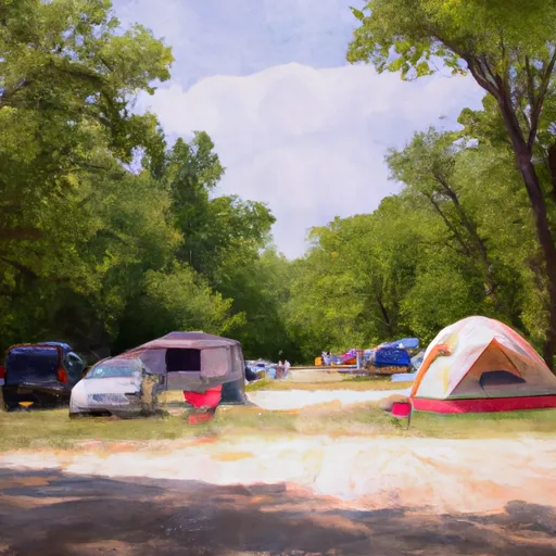
Area Campgrounds
| Location | Reservations | Toilets |
|---|---|---|
 Crawford State Fishing Lake
|
||
 Four Oaks RV Park
|
||
 Pittsburg City
|
||
 Backpack Camp
|
||
 Prairie State Park
|
||
 Lamar City Park
|
 Stockton Lake Near Stockton
 Southwest 50th Road Barton County