
George Paul P Reservoir Report
Nearby: Stockwater Pond Steffen Pond
Last Updated: December 25, 2025
George Paul P is a private dam located in Nash, Oklahoma.
°F
°F
mph
Wind
%
Humidity
Summary
Constructed in 1960, this earth dam stands at 15 feet high with a hydraulic height of 13 feet. It serves a primary purpose of "Other" and is regulated by the Oklahoma Water Resources Board. The dam has a normal storage capacity of 30 acre-feet and a maximum discharge of 720 cubic feet per second.
Situated on TR-Cooper Creek in Grant County, Oklahoma, George Paul P spans 485 feet in length and covers an area of 11 acres. Despite its low hazard potential, this dam has a very high risk assessment score of 1. It features a controlled spillway with a width of 1 foot and an outlet gate with a single valve. The last inspection of George Paul P was conducted on November 30, 2010, with an inspection frequency of 5 years.
For water resource and climate enthusiasts, George Paul P presents an intriguing case study of a privately owned dam with state regulation in place. Its location in a high-risk area highlights the importance of regular inspections and risk management measures to ensure the safety and integrity of the structure. As part of the Tulsa District, this dam serves as a key component in the local water management system, showcasing the intersection of human infrastructure with natural resources in the face of changing environmental conditions.
Year Completed |
1960 |
Dam Length |
485 |
Dam Height |
15 |
River Or Stream |
TR-COOPER CREEK |
Primary Dam Type |
Earth |
Surface Area |
11 |
Hydraulic Height |
13 |
Nid Storage |
55 |
Structural Height |
13 |
Outlet Gates |
Valve - 1 |
Hazard Potential |
Low |
Foundations |
Soil |
Nid Height |
15 |
Seasonal Comparison
Weather Forecast
Nearby Streamflow Levels
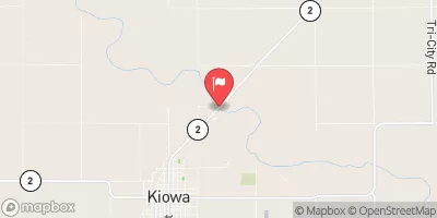 Medicine Lodge R Nr Kiowa
|
103cfs |
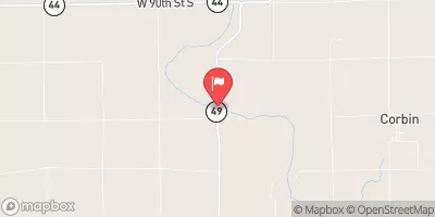 Chikaskia R Nr Corbin
|
139cfs |
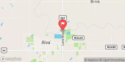 Salt Fork Arkansas River Nr Alva
|
84cfs |
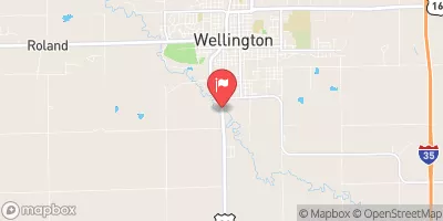 Slate C At Wellington
|
15cfs |
 Sf Ninnescah R Nr Murdock
|
155cfs |
 Skeleton Creek At Enid
|
6cfs |
Dam Data Reference
Condition Assessment
SatisfactoryNo existing or potential dam safety deficiencies are recognized. Acceptable performance is expected under all loading conditions (static, hydrologic, seismic) in accordance with the minimum applicable state or federal regulatory criteria or tolerable risk guidelines.
Fair
No existing dam safety deficiencies are recognized for normal operating conditions. Rare or extreme hydrologic and/or seismic events may result in a dam safety deficiency. Risk may be in the range to take further action. Note: Rare or extreme event is defined by the regulatory agency based on their minimum
Poor A dam safety deficiency is recognized for normal operating conditions which may realistically occur. Remedial action is necessary. POOR may also be used when uncertainties exist as to critical analysis parameters which identify a potential dam safety deficiency. Investigations and studies are necessary.
Unsatisfactory
A dam safety deficiency is recognized that requires immediate or emergency remedial action for problem resolution.
Not Rated
The dam has not been inspected, is not under state or federal jurisdiction, or has been inspected but, for whatever reason, has not been rated.
Not Available
Dams for which the condition assessment is restricted to approved government users.
Hazard Potential Classification
HighDams assigned the high hazard potential classification are those where failure or mis-operation will probably cause loss of human life.
Significant
Dams assigned the significant hazard potential classification are those dams where failure or mis-operation results in no probable loss of human life but can cause economic loss, environment damage, disruption of lifeline facilities, or impact other concerns. Significant hazard potential classification dams are often located in predominantly rural or agricultural areas but could be in areas with population and significant infrastructure.
Low
Dams assigned the low hazard potential classification are those where failure or mis-operation results in no probable loss of human life and low economic and/or environmental losses. Losses are principally limited to the owner's property.
Undetermined
Dams for which a downstream hazard potential has not been designated or is not provided.
Not Available
Dams for which the downstream hazard potential is restricted to approved government users.
 George Paul P