
Hada Reservoir Report
Nearby: Thurman Oknoname 151001
Last Updated: April 1, 2026
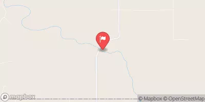
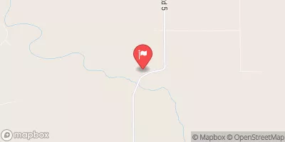
Hada is a privately owned dam located in Alva, Oklahoma, within the Woods County.
Summary
Built in 1960 by the USDA NRCS, this earth dam stands at a height of 22 feet and has a hydraulic height of 14 feet, serving the primary purpose of "Other." The dam has a maximum storage capacity of 100 acre-feet and a normal storage capacity of 60 acre-feet, with a surface area of 6 acres. The dam's spillway type is "Controlled" with a width of 1 foot, allowing for a maximum discharge of 1470 cubic feet per second.
Managed by the Oklahoma Water Resources Board (OWRB), Hada is regulated, permitted, inspected, and enforced in accordance with state jurisdictional laws. The dam is classified as having a low hazard potential and is currently assessed as "Not Rated" in terms of condition. Despite its age, Hada has not undergone any modifications and maintains its original structure, with one outlet gate for water release.
Hada poses a very high risk, with a Risk Assessment rating of 1, indicating potential safety concerns that require attention and monitoring. The dam has not received a Dam Safety Action Classification (DSAC) and lacks specific risk management measures or inundation maps for emergency preparedness. With its importance for water resource management and climate impact, ongoing monitoring and maintenance are critical to ensure the safety and integrity of Hada for the surrounding community and environment.
°F
°F
mph
Wind
%
Humidity
15-Day Weather Outlook
Year Completed |
1960 |
Dam Length |
310 |
Dam Height |
22 |
River Or Stream |
TR-GREENLEAF |
Primary Dam Type |
Earth |
Surface Area |
6 |
Hydraulic Height |
14 |
Nid Storage |
100 |
Structural Height |
22 |
Outlet Gates |
Valve - 1 |
Hazard Potential |
Low |
Foundations |
Soil |
Nid Height |
22 |
Seasonal Comparison
5-Day Hourly Forecast Detail
Nearby Streamflow Levels
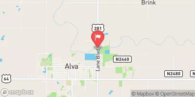 Salt Fork Arkansas River Nr Alva
|
70cfs |
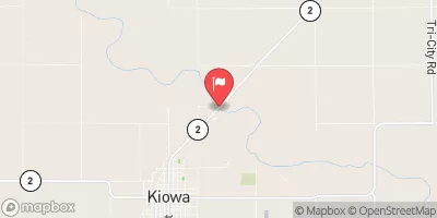 Medicine Lodge R Nr Kiowa
|
93cfs |
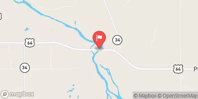
 Cimarron River Near Waynoka
|
78cfs |
 Cimarron River Near Buffalo
|
65cfs |
 Cimarron R Near Buttermilk
|
14cfs |
 Bluff Creek Nr Buttermilk
|
28cfs |
Dam Data Reference
Condition Assessment
SatisfactoryNo existing or potential dam safety deficiencies are recognized. Acceptable performance is expected under all loading conditions (static, hydrologic, seismic) in accordance with the minimum applicable state or federal regulatory criteria or tolerable risk guidelines.
Fair
No existing dam safety deficiencies are recognized for normal operating conditions. Rare or extreme hydrologic and/or seismic events may result in a dam safety deficiency. Risk may be in the range to take further action. Note: Rare or extreme event is defined by the regulatory agency based on their minimum
Poor A dam safety deficiency is recognized for normal operating conditions which may realistically occur. Remedial action is necessary. POOR may also be used when uncertainties exist as to critical analysis parameters which identify a potential dam safety deficiency. Investigations and studies are necessary.
Unsatisfactory
A dam safety deficiency is recognized that requires immediate or emergency remedial action for problem resolution.
Not Rated
The dam has not been inspected, is not under state or federal jurisdiction, or has been inspected but, for whatever reason, has not been rated.
Not Available
Dams for which the condition assessment is restricted to approved government users.
Hazard Potential Classification
HighDams assigned the high hazard potential classification are those where failure or mis-operation will probably cause loss of human life.
Significant
Dams assigned the significant hazard potential classification are those dams where failure or mis-operation results in no probable loss of human life but can cause economic loss, environment damage, disruption of lifeline facilities, or impact other concerns. Significant hazard potential classification dams are often located in predominantly rural or agricultural areas but could be in areas with population and significant infrastructure.
Low
Dams assigned the low hazard potential classification are those where failure or mis-operation results in no probable loss of human life and low economic and/or environmental losses. Losses are principally limited to the owner's property.
Undetermined
Dams for which a downstream hazard potential has not been designated or is not provided.
Not Available
Dams for which the downstream hazard potential is restricted to approved government users.
 Hada
Hada
 Lake Havasu Near Parker Dam
 Lake Havasu