
Steffen Pond Reservoir Report
Nearby: Oknoname 30054 George Paul P
Last Updated: January 12, 2026
Steffen Pond, nestled in Grant County, Oklahoma, is a private fish and wildlife pond designed by the USDA NRCS in 1975.
°F
°F
mph
Wind
%
Humidity
Summary
With a dam height of 30 feet and a length of 174 feet, this earth dam serves the primary purpose of supporting aquatic life and recreation activities. The pond covers a surface area of 2 acres and has a normal storage capacity of 16 acre-feet.
Despite its low hazard potential, the pond is subject to moderate risk, as assessed by the risk assessment rating of 3. While the condition of Steffen Pond is currently not rated, it is not subject to state regulation, inspection, or enforcement. With an uncontrolled spillway and a spillway width of 30 feet, the pond provides a serene and dynamic environment for water resource and climate enthusiasts to explore. Located in the NW1/4 of S30 T28N R8WIM, Steffen Pond offers a tranquil oasis for wildlife and visitors alike.
Year Completed |
1975 |
Dam Length |
174 |
Dam Height |
30 |
Primary Dam Type |
Earth |
Surface Area |
2 |
Hydraulic Height |
30 |
Nid Storage |
16 |
Hazard Potential |
Low |
Nid Height |
30 |
Seasonal Comparison
Weather Forecast
Nearby Streamflow Levels
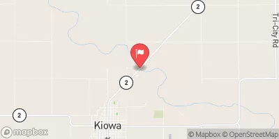 Medicine Lodge R Nr Kiowa
|
108cfs |
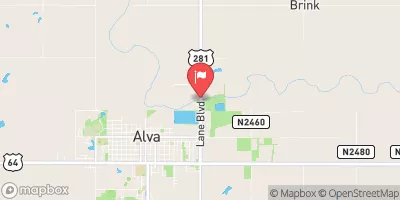 Salt Fork Arkansas River Nr Alva
|
83cfs |
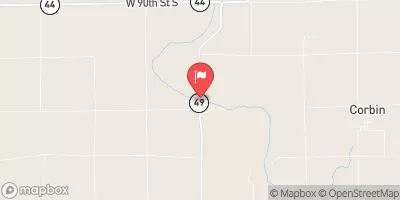 Chikaskia R Nr Corbin
|
139cfs |
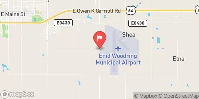 Skeleton Creek At Enid
|
4cfs |
 Chikaskia River Near Blackwell
|
243cfs |
 Salt Fork Arkansas River At Tonkawa
|
352cfs |
Dam Data Reference
Condition Assessment
SatisfactoryNo existing or potential dam safety deficiencies are recognized. Acceptable performance is expected under all loading conditions (static, hydrologic, seismic) in accordance with the minimum applicable state or federal regulatory criteria or tolerable risk guidelines.
Fair
No existing dam safety deficiencies are recognized for normal operating conditions. Rare or extreme hydrologic and/or seismic events may result in a dam safety deficiency. Risk may be in the range to take further action. Note: Rare or extreme event is defined by the regulatory agency based on their minimum
Poor A dam safety deficiency is recognized for normal operating conditions which may realistically occur. Remedial action is necessary. POOR may also be used when uncertainties exist as to critical analysis parameters which identify a potential dam safety deficiency. Investigations and studies are necessary.
Unsatisfactory
A dam safety deficiency is recognized that requires immediate or emergency remedial action for problem resolution.
Not Rated
The dam has not been inspected, is not under state or federal jurisdiction, or has been inspected but, for whatever reason, has not been rated.
Not Available
Dams for which the condition assessment is restricted to approved government users.
Hazard Potential Classification
HighDams assigned the high hazard potential classification are those where failure or mis-operation will probably cause loss of human life.
Significant
Dams assigned the significant hazard potential classification are those dams where failure or mis-operation results in no probable loss of human life but can cause economic loss, environment damage, disruption of lifeline facilities, or impact other concerns. Significant hazard potential classification dams are often located in predominantly rural or agricultural areas but could be in areas with population and significant infrastructure.
Low
Dams assigned the low hazard potential classification are those where failure or mis-operation results in no probable loss of human life and low economic and/or environmental losses. Losses are principally limited to the owner's property.
Undetermined
Dams for which a downstream hazard potential has not been designated or is not provided.
Not Available
Dams for which the downstream hazard potential is restricted to approved government users.
 Steffen Pond