
Big Wyacondah Watershed Site 47 Reservoir Report
Last Updated: December 5, 2025
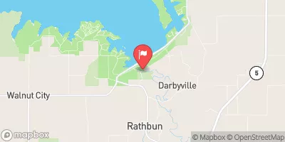
Located in Davis County, Iowa, the Big Wyacondah Watershed Site 47 is a vital water resource managed by the local government and regulated by the Iowa Department of Natural Resources.
°F
°F
mph
Wind
%
Humidity
Summary
Designed by the USDA NRCS in 1964, this earth dam serves multiple purposes including fire protection, stock, small fish pond, and flood risk reduction. With a height of 21 feet and a storage capacity of 160 acre-feet, this structure plays a crucial role in managing water flow and mitigating potential hazards in the area.
The dam is situated on the TR-South Wyacondah River and covers a surface area of 11 acres with a drainage area of 0.47 square miles. Despite its low hazard potential, the dam's risk assessment is moderate, indicating the need for ongoing monitoring and maintenance. While the condition assessment is currently not rated, the structure is inspected, permitted, and enforced by state regulatory agencies, ensuring its operational effectiveness and safety. With its strategic location and multifaceted utility, the Big Wyacondah Watershed Site 47 is a key asset in water resource management in the region.
In the event of an emergency, the dam's emergency action plan (EAP) status is currently unknown, highlighting the importance of ensuring preparedness and adherence to guidelines. With no documented risk management measures in place, there is room for improvement in enhancing the resilience of the structure to potential risks. Overall, the Big Wyacondah Watershed Site 47 stands as a significant infrastructure for water conservation, flood control, and environmental protection, showcasing the collaborative efforts between local and federal agencies in managing water resources for the benefit of the community.
Year Completed |
1964 |
Dam Length |
497 |
Dam Height |
21 |
River Or Stream |
TR-SOUTH WYACONDAH RIVER |
Primary Dam Type |
Earth |
Surface Area |
11 |
Drainage Area |
0.47 |
Nid Storage |
160 |
Hazard Potential |
Low |
Foundations |
Soil |
Nid Height |
21 |
Seasonal Comparison
Weather Forecast
Nearby Streamflow Levels
 Fox River At Bloomfield
|
7cfs |
 Chariton River Near Moulton
|
34cfs |
 Chariton River At Livonia
|
45cfs |
 Des Moines River At Ottumwa
|
1090cfs |
 Chariton River Near Rathbun
|
14cfs |
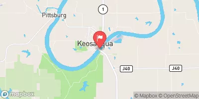 Des Moines River At Keosauqua
|
1800cfs |
Dam Data Reference
Condition Assessment
SatisfactoryNo existing or potential dam safety deficiencies are recognized. Acceptable performance is expected under all loading conditions (static, hydrologic, seismic) in accordance with the minimum applicable state or federal regulatory criteria or tolerable risk guidelines.
Fair
No existing dam safety deficiencies are recognized for normal operating conditions. Rare or extreme hydrologic and/or seismic events may result in a dam safety deficiency. Risk may be in the range to take further action. Note: Rare or extreme event is defined by the regulatory agency based on their minimum
Poor A dam safety deficiency is recognized for normal operating conditions which may realistically occur. Remedial action is necessary. POOR may also be used when uncertainties exist as to critical analysis parameters which identify a potential dam safety deficiency. Investigations and studies are necessary.
Unsatisfactory
A dam safety deficiency is recognized that requires immediate or emergency remedial action for problem resolution.
Not Rated
The dam has not been inspected, is not under state or federal jurisdiction, or has been inspected but, for whatever reason, has not been rated.
Not Available
Dams for which the condition assessment is restricted to approved government users.
Hazard Potential Classification
HighDams assigned the high hazard potential classification are those where failure or mis-operation will probably cause loss of human life.
Significant
Dams assigned the significant hazard potential classification are those dams where failure or mis-operation results in no probable loss of human life but can cause economic loss, environment damage, disruption of lifeline facilities, or impact other concerns. Significant hazard potential classification dams are often located in predominantly rural or agricultural areas but could be in areas with population and significant infrastructure.
Low
Dams assigned the low hazard potential classification are those where failure or mis-operation results in no probable loss of human life and low economic and/or environmental losses. Losses are principally limited to the owner's property.
Undetermined
Dams for which a downstream hazard potential has not been designated or is not provided.
Not Available
Dams for which the downstream hazard potential is restricted to approved government users.
Area Campgrounds
| Location | Reservations | Toilets |
|---|---|---|
 Lake Fisher
|
||
 Drakesville City Park
|
||
 McGowen Rec Area
|
||
 Lake Wapello State Park
|
||
 Lake Wapello State Park Campground
|
 Big Wyacondah Watershed Site 47