
Mosquito Of Harrison Watershed Site 7-1 Reservoir Report
Last Updated: December 13, 2025
The Mosquito of Harrison Watershed Site 7-1 is a vital water resource located in Neola, Iowa, specifically along the TR- Mosquito Creek.
°F
°F
mph
Wind
%
Humidity
Summary
This earth dam, constructed in 1993 by the USDA NRCS, serves multiple purposes including fire protection, stock, small fish pond, and flood risk reduction. With a height of 50 feet, a length of 605 feet, and a storage capacity of 148 acre-feet, this dam plays a crucial role in managing water resources in the area.
Owned and regulated by the local government and the Iowa DNR, the Mosquito of Harrison Watershed Site 7-1 has a low hazard potential and a moderate risk assessment. Despite not being rated for its condition, this dam continues to effectively serve its purpose while being regularly inspected, permitted, and enforced by state authorities. With a surface area of 6.8 acres and a drainage area of 0.38 square miles, this dam plays a significant role in controlling water flow and protecting the surrounding area from potential hazards.
Overall, the Mosquito of Harrison Watershed Site 7-1 is a crucial infrastructure for water management and climate resilience in the Harrison, Iowa region. With its strategic location along the Mosquito Creek and its multi-purpose design, this dam continues to play a vital role in safeguarding the community from flooding, providing water for various uses, and enhancing overall environmental sustainability.
Year Completed |
1993 |
Dam Length |
605 |
Dam Height |
50 |
River Or Stream |
TR- MOSQUITO CREEK |
Primary Dam Type |
Earth |
Surface Area |
6.8 |
Drainage Area |
0.38 |
Nid Storage |
148 |
Hazard Potential |
Low |
Foundations |
Soil |
Nid Height |
50 |
Seasonal Comparison
Weather Forecast
Nearby Streamflow Levels
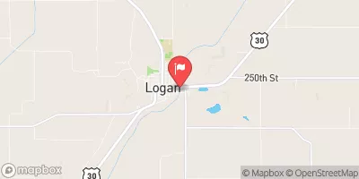 Boyer River At Logan
|
417cfs |
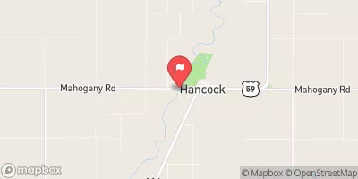 West Nishnabotna River At Hancock
|
154cfs |
 Missouri River At Omaha
|
17700cfs |
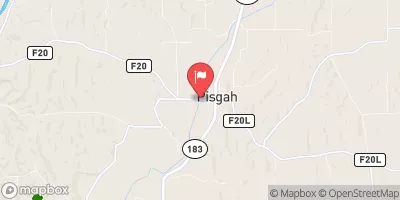 Soldier River At Pisgah
|
112cfs |
 East Nishnabotna River Near Atlantic
|
143cfs |
 Big Papillion Cr
|
38cfs |
Dam Data Reference
Condition Assessment
SatisfactoryNo existing or potential dam safety deficiencies are recognized. Acceptable performance is expected under all loading conditions (static, hydrologic, seismic) in accordance with the minimum applicable state or federal regulatory criteria or tolerable risk guidelines.
Fair
No existing dam safety deficiencies are recognized for normal operating conditions. Rare or extreme hydrologic and/or seismic events may result in a dam safety deficiency. Risk may be in the range to take further action. Note: Rare or extreme event is defined by the regulatory agency based on their minimum
Poor A dam safety deficiency is recognized for normal operating conditions which may realistically occur. Remedial action is necessary. POOR may also be used when uncertainties exist as to critical analysis parameters which identify a potential dam safety deficiency. Investigations and studies are necessary.
Unsatisfactory
A dam safety deficiency is recognized that requires immediate or emergency remedial action for problem resolution.
Not Rated
The dam has not been inspected, is not under state or federal jurisdiction, or has been inspected but, for whatever reason, has not been rated.
Not Available
Dams for which the condition assessment is restricted to approved government users.
Hazard Potential Classification
HighDams assigned the high hazard potential classification are those where failure or mis-operation will probably cause loss of human life.
Significant
Dams assigned the significant hazard potential classification are those dams where failure or mis-operation results in no probable loss of human life but can cause economic loss, environment damage, disruption of lifeline facilities, or impact other concerns. Significant hazard potential classification dams are often located in predominantly rural or agricultural areas but could be in areas with population and significant infrastructure.
Low
Dams assigned the low hazard potential classification are those where failure or mis-operation results in no probable loss of human life and low economic and/or environmental losses. Losses are principally limited to the owner's property.
Undetermined
Dams for which a downstream hazard potential has not been designated or is not provided.
Not Available
Dams for which the downstream hazard potential is restricted to approved government users.
 Mosquito Of Harrison Watershed Site 7-1