Martins Fork Lk At Martins Fk Dam Nr Smith Reservoir Report
Nearby: Cranks Creek Lake Dam Right Fork Dam
Last Updated: February 3, 2026
Martins Fork Lake is a reservoir located in the Harlan County of Kentucky.
°F
°F
mph
Wind
%
Humidity
15-Day Weather Outlook
Summary
The lake was created in 1979 by the US Army Corps of Engineers to control floodwaters on the Cumberland River. The lake's hydrology is largely influenced by the Cumberland River, with a small portion of the inflow coming from the Martins Fork River. The lake's surface flow is primarily dependent on rainfall and snowpack. Agriculture is not a significant factor in the area, but the lake supports a variety of recreational activities, including fishing, boating, and camping. The lake is home to several species of fish, including bass, crappie, and catfish, making it a popular destination for anglers. Overall, Martins Fork Lake provides a valuable source of water for the surrounding communities and serves as a popular recreational destination.
Reservoir Details
| Gage Height, Ft 24hr Change | -5.96% |
| Percent of Normal | 77% |
| Minimum |
2.87 ft
2025-02-17 |
| Maximum |
35.35 ft
2025-02-16 |
| Average | 10 ft |
| Hydraulic_Height | 97 |
| Drainage_Area | 56 |
| Year_Completed | 1978 |
| Nid_Storage | 21100 |
| Structural_Height | 120 |
| River_Or_Stream | MARTINS FORK OF CUMBERLAND R. |
| Foundations | Rock |
| Surface_Area | 340 |
| Hazard_Potential | High |
| Dam_Length | 504 |
| Primary_Dam_Type | Gravity |
| Nid_Height | 120 |
Seasonal Comparison
Temperature, Water, °C Levels
Precipitation, Total, In Levels
Gage Height, Ft Levels
Specific Conductance, Water, Unfiltered, Microsiemens Per Centimeter At 25°C Levels
Dissolved Oxygen, Water, Unfiltered, Mg/L Levels
Ph, Water, Unfiltered, Field, Standard Units Levels
Hourly Weather Forecast
Nearby Streamflow Levels
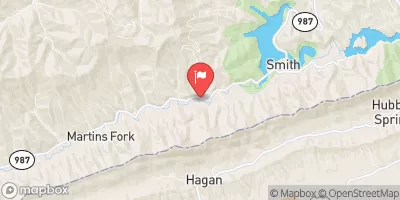
 Martins Fork Near Smith
|
114cfs |
 Martins Fork Above Smith
|
26cfs |
 Cumberland River Near Harlan
|
679cfs |
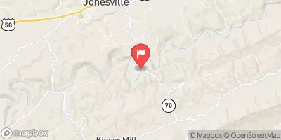
 Powell River Near Jonesville
|
351cfs |
 Poor Fork At Cumberland
|
98cfs |
 Clinch River Near Looneys Gap
|
1750cfs |
Dam Data Reference
Condition Assessment
SatisfactoryNo existing or potential dam safety deficiencies are recognized. Acceptable performance is expected under all loading conditions (static, hydrologic, seismic) in accordance with the minimum applicable state or federal regulatory criteria or tolerable risk guidelines.
Fair
No existing dam safety deficiencies are recognized for normal operating conditions. Rare or extreme hydrologic and/or seismic events may result in a dam safety deficiency. Risk may be in the range to take further action. Note: Rare or extreme event is defined by the regulatory agency based on their minimum
Poor A dam safety deficiency is recognized for normal operating conditions which may realistically occur. Remedial action is necessary. POOR may also be used when uncertainties exist as to critical analysis parameters which identify a potential dam safety deficiency. Investigations and studies are necessary.
Unsatisfactory
A dam safety deficiency is recognized that requires immediate or emergency remedial action for problem resolution.
Not Rated
The dam has not been inspected, is not under state or federal jurisdiction, or has been inspected but, for whatever reason, has not been rated.
Not Available
Dams for which the condition assessment is restricted to approved government users.
Hazard Potential Classification
HighDams assigned the high hazard potential classification are those where failure or mis-operation will probably cause loss of human life.
Significant
Dams assigned the significant hazard potential classification are those dams where failure or mis-operation results in no probable loss of human life but can cause economic loss, environment damage, disruption of lifeline facilities, or impact other concerns. Significant hazard potential classification dams are often located in predominantly rural or agricultural areas but could be in areas with population and significant infrastructure.
Low
Dams assigned the low hazard potential classification are those where failure or mis-operation results in no probable loss of human life and low economic and/or environmental losses. Losses are principally limited to the owner's property.
Undetermined
Dams for which a downstream hazard potential has not been designated or is not provided.
Not Available
Dams for which the downstream hazard potential is restricted to approved government users.

 Martins Fork Dam
 Martins Fork Lk At Martins Fk Dam Nr Smith