


Crossnoe Reservoir Report
Last Updated: May 10, 2026
°F
°F
mph
Wind
%
Humidity
Crossnoe is a privately owned Earth dam located in Benton, Tennessee, specifically in the city of Big Sandy.
Summary
Built in 1972, this dam on South Creek stands at a structural height of 13.4 feet with a hydraulic height of 10.6 feet. It has a storage capacity of 53 acre-feet, serving the purpose of flood control and water supply for the region.
Despite being classified as having a low hazard potential, Crossnoe is under moderate risk according to a recent assessment. The dam has not been rated for its condition, but it undergoes inspections every five years to ensure its safety and reliability. The spillway is uncontrolled, and the dam has no outlet gates or associated structures, highlighting its simplicity yet importance in managing water resources in the area.
With its location in the Nashville District, Crossnoe plays a vital role in water management for the community. While it may not be a high-profile structure, its contribution to flood control and water storage cannot be underestimated, especially in the face of changing climate patterns. Water resource and climate enthusiasts would find interest in studying the role of dams like Crossnoe in ensuring both water security and environmental resilience in the region.
Regional Streamflow Levels
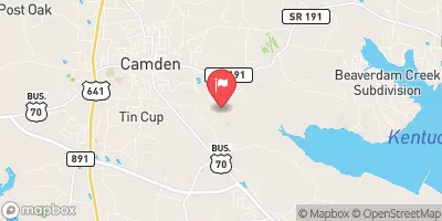 Cypress Creek At Camden
|
1cfs |
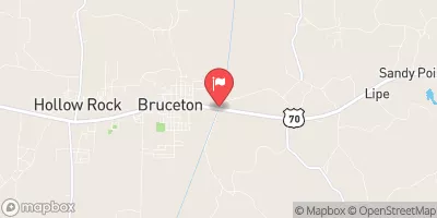 Big Sandy River At Bruceton
|
83cfs |
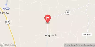 Crooked Creek Near Huntingdon
|
38cfs |
 Duck River Above Hurricane Mills
|
3150cfs |
 Buffalo River Below Lobelville
|
921cfs |
 Yellow Creek At Ellis Mills
|
39cfs |
15-Day Long Term Forecast
Year Completed |
1972 |
Dam Length |
350 |
River Or Stream |
SOUTH CREEK |
Primary Dam Type |
Earth |
Surface Area |
8 |
Hydraulic Height |
10.6 |
Drainage Area |
0.26 |
Nid Storage |
53 |
Structural Height |
13.4 |
Outlet Gates |
None |
Hazard Potential |
Low |
Nid Height |
13 |
Seasonal Comparison
5-Day Hourly Forecast Detail
Dam Data Reference
Condition Assessment
SatisfactoryNo existing or potential dam safety deficiencies are recognized. Acceptable performance is expected under all loading conditions (static, hydrologic, seismic) in accordance with the minimum applicable state or federal regulatory criteria or tolerable risk guidelines.
Fair
No existing dam safety deficiencies are recognized for normal operating conditions. Rare or extreme hydrologic and/or seismic events may result in a dam safety deficiency. Risk may be in the range to take further action. Note: Rare or extreme event is defined by the regulatory agency based on their minimum
Poor A dam safety deficiency is recognized for normal operating conditions which may realistically occur. Remedial action is necessary. POOR may also be used when uncertainties exist as to critical analysis parameters which identify a potential dam safety deficiency. Investigations and studies are necessary.
Unsatisfactory
A dam safety deficiency is recognized that requires immediate or emergency remedial action for problem resolution.
Not Rated
The dam has not been inspected, is not under state or federal jurisdiction, or has been inspected but, for whatever reason, has not been rated.
Not Available
Dams for which the condition assessment is restricted to approved government users.
Hazard Potential Classification
HighDams assigned the high hazard potential classification are those where failure or mis-operation will probably cause loss of human life.
Significant
Dams assigned the significant hazard potential classification are those dams where failure or mis-operation results in no probable loss of human life but can cause economic loss, environment damage, disruption of lifeline facilities, or impact other concerns. Significant hazard potential classification dams are often located in predominantly rural or agricultural areas but could be in areas with population and significant infrastructure.
Low
Dams assigned the low hazard potential classification are those where failure or mis-operation results in no probable loss of human life and low economic and/or environmental losses. Losses are principally limited to the owner's property.
Undetermined
Dams for which a downstream hazard potential has not been designated or is not provided.
Not Available
Dams for which the downstream hazard potential is restricted to approved government users.
Area Campgrounds
| Location | Reservations | Toilets |
|---|---|---|
 Nathan Bedford Forrest State Park
|
||
 Camp Isengard
|
||
 Paris Landing State Park
|
||
 Piney - LBL
|
||
 Boswell Landing
|
||
 Gatlin Point - LBL
|
 Lake Access Road 199, Big Sandy
 Bethel Bridge On County Road 6174 To Confluence With Duck River