


Ronald King Reservoir Report
Last Updated: April 29, 2026
°F
°F
mph
Wind
%
Humidity
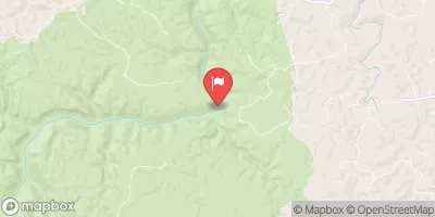
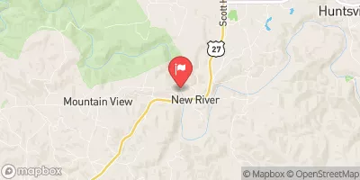
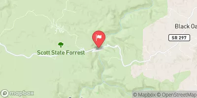
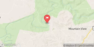
Ronald King is a privately owned earth dam located in Scott, Tennessee, along the Roaring Paunch Creek.
Summary
With a hydraulic height of 15.6 feet and a structural height of 18.6 feet, this dam serves as a vital water resource structure in the area. It has a storage capacity of 103 acre-feet and covers a surface area of 11 acres, with a drainage area of 0.28 square miles. Despite its low hazard potential and moderate risk assessment rating, Ronald King has not been officially rated for its condition as of yet.
Managed by the US Army Corps of Engineers' Louisville District, Ronald King does not have any associated structures and operates with an uncontrolled spillway type. The dam has not been modified in recent years and has no outlet gates. Although it has a regular inspection frequency of 5 years, the last inspection took place in August 2020. While the dam is considered to have a low hazard potential, the moderate risk assessment suggests that certain risk management measures may need to be considered in the future to ensure the safety and effectiveness of this important water resource infrastructure.
Water resource and climate enthusiasts interested in the infrastructure of Ronald King can appreciate its role in providing water storage and flood control along the Roaring Paunch Creek in Tennessee. This earth dam, though privately owned, plays a crucial part in managing water levels in the area and reducing the risk of potential hazards. As part of ongoing efforts to maintain and enhance water resource structures like Ronald King, continued monitoring and assessment will be essential to ensure the long-term sustainability of this important infrastructure in the face of changing climate conditions.
Regional Streamflow Levels
 South Fork Cumberland River Near Stearns
|
195cfs |
 New River At New River
|
1140cfs |
 South Fk Cumberland River At Leatherwood Ford
|
1430cfs |
 Clear Fork Near Robbins
|
690cfs |
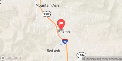 Clear Fork At Saxton
|
539cfs |
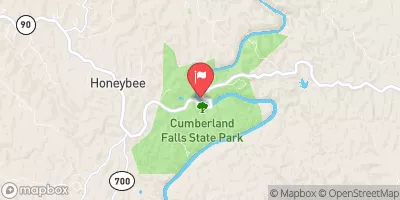 Cumberland River At Cumberland Falls
|
947cfs |
15-Day Long Term Forecast
Dam Length |
295 |
River Or Stream |
ROARING PAUNCH CREEK |
Primary Dam Type |
Earth |
Surface Area |
11 |
Hydraulic Height |
15.6 |
Drainage Area |
0.28 |
Nid Storage |
103 |
Structural Height |
18.6 |
Outlet Gates |
None |
Hazard Potential |
Low |
Nid Height |
19 |
Seasonal Comparison
5-Day Hourly Forecast Detail
Dam Data Reference
Condition Assessment
SatisfactoryNo existing or potential dam safety deficiencies are recognized. Acceptable performance is expected under all loading conditions (static, hydrologic, seismic) in accordance with the minimum applicable state or federal regulatory criteria or tolerable risk guidelines.
Fair
No existing dam safety deficiencies are recognized for normal operating conditions. Rare or extreme hydrologic and/or seismic events may result in a dam safety deficiency. Risk may be in the range to take further action. Note: Rare or extreme event is defined by the regulatory agency based on their minimum
Poor A dam safety deficiency is recognized for normal operating conditions which may realistically occur. Remedial action is necessary. POOR may also be used when uncertainties exist as to critical analysis parameters which identify a potential dam safety deficiency. Investigations and studies are necessary.
Unsatisfactory
A dam safety deficiency is recognized that requires immediate or emergency remedial action for problem resolution.
Not Rated
The dam has not been inspected, is not under state or federal jurisdiction, or has been inspected but, for whatever reason, has not been rated.
Not Available
Dams for which the condition assessment is restricted to approved government users.
Hazard Potential Classification
HighDams assigned the high hazard potential classification are those where failure or mis-operation will probably cause loss of human life.
Significant
Dams assigned the significant hazard potential classification are those dams where failure or mis-operation results in no probable loss of human life but can cause economic loss, environment damage, disruption of lifeline facilities, or impact other concerns. Significant hazard potential classification dams are often located in predominantly rural or agricultural areas but could be in areas with population and significant infrastructure.
Low
Dams assigned the low hazard potential classification are those where failure or mis-operation results in no probable loss of human life and low economic and/or environmental losses. Losses are principally limited to the owner's property.
Undetermined
Dams for which a downstream hazard potential has not been designated or is not provided.
Not Available
Dams for which the downstream hazard potential is restricted to approved government users.
Area Campgrounds
| Location | Reservations | Toilets |
|---|---|---|
 Bear Creek Horse Camp
|
||
 Blue Heron - Big South Fork Area
|
||
 Station Camp Horse Camp
|
 Kentucky Road 478 To Kentucky Road 679