


Big Creek Wid Site 01 Reservoir Report
Last Updated: April 15, 2026
°F
°F
mph
Wind
%
Humidity
Big Creek Wid Site 01, located in Greene County, Arkansas, is a vital structure managed by the USDA NRCS for flood risk reduction along Big Creek.
Summary
This earth dam, completed in 1967, stands at a height of 35 feet and has a storage capacity of 4580 acre-feet, serving a drainage area of 6.6 square miles. Despite its low hazard potential, the dam is designed to handle a maximum discharge of 414 cubic feet per second and is regulated by the Arkansas Natural Resources Commission.
The primary purpose of Big Creek Wid Site 01 is flood risk reduction, with additional benefits for recreation in the area. With a spillway type of "Uncontrolled," the dam features uncontrolled outlet gates to manage water flow during high-water events. Though the condition assessment is not rated as of the last inspection in 2016, the risk assessment categorizes the structure as moderate. Overall, this dam plays a crucial role in protecting the surrounding community from flooding while also offering recreational opportunities for residents and visitors to enjoy.
Regional Streamflow Levels
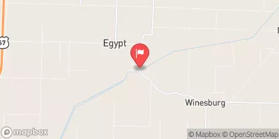 Cache River At Egypt
|
0cfs |
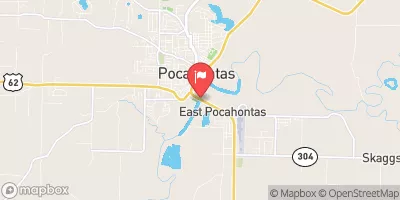 Black River At Pocahontas
|
3120cfs |
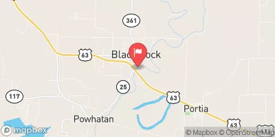 Black River At Black Rock
|
4250cfs |
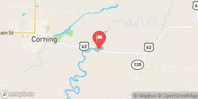 Black River Near Corning
|
1030cfs |
 Spring River At Imboden
|
558cfs |
 Elevenpoint River Near Ravenden Springs
|
585cfs |
15-Day Long Term Forecast
Year Completed |
1967 |
Dam Length |
3000 |
Dam Height |
35 |
River Or Stream |
BIG CREEK |
Primary Dam Type |
Earth |
Surface Area |
107 |
Hydraulic Height |
18 |
Drainage Area |
6.6 |
Nid Storage |
4580 |
Structural Height |
35 |
Outlet Gates |
Uncontrolled |
Hazard Potential |
Low |
Nid Height |
35 |
Seasonal Comparison
5-Day Hourly Forecast Detail
Dam Data Reference
Condition Assessment
SatisfactoryNo existing or potential dam safety deficiencies are recognized. Acceptable performance is expected under all loading conditions (static, hydrologic, seismic) in accordance with the minimum applicable state or federal regulatory criteria or tolerable risk guidelines.
Fair
No existing dam safety deficiencies are recognized for normal operating conditions. Rare or extreme hydrologic and/or seismic events may result in a dam safety deficiency. Risk may be in the range to take further action. Note: Rare or extreme event is defined by the regulatory agency based on their minimum
Poor A dam safety deficiency is recognized for normal operating conditions which may realistically occur. Remedial action is necessary. POOR may also be used when uncertainties exist as to critical analysis parameters which identify a potential dam safety deficiency. Investigations and studies are necessary.
Unsatisfactory
A dam safety deficiency is recognized that requires immediate or emergency remedial action for problem resolution.
Not Rated
The dam has not been inspected, is not under state or federal jurisdiction, or has been inspected but, for whatever reason, has not been rated.
Not Available
Dams for which the condition assessment is restricted to approved government users.
Hazard Potential Classification
HighDams assigned the high hazard potential classification are those where failure or mis-operation will probably cause loss of human life.
Significant
Dams assigned the significant hazard potential classification are those dams where failure or mis-operation results in no probable loss of human life but can cause economic loss, environment damage, disruption of lifeline facilities, or impact other concerns. Significant hazard potential classification dams are often located in predominantly rural or agricultural areas but could be in areas with population and significant infrastructure.
Low
Dams assigned the low hazard potential classification are those where failure or mis-operation results in no probable loss of human life and low economic and/or environmental losses. Losses are principally limited to the owner's property.
Undetermined
Dams for which a downstream hazard potential has not been designated or is not provided.
Not Available
Dams for which the downstream hazard potential is restricted to approved government users.