


John Kocher Lake Dam Reservoir Report
Last Updated: May 3, 2026
°F
°F
mph
Wind
%
Humidity
John Kocher Lake Dam, located in Horton, Arkansas, was completed in 1958 and serves as a key resource for recreation in the area.
Summary
This private-owned earth dam stands at a hydraulic height of 9 feet with a structural height of 9 feet. With a storage capacity of 200 acre-feet and a normal storage of 120 acre-feet, the dam provides ample water for recreational activities such as boating, fishing, and swimming.
Despite its low hazard potential and current condition being not rated, John Kocher Lake Dam plays a crucial role in the local community's water resource management. The dam's primary purpose of recreation is reflected in its design, which includes a length of 850 feet and a spillway width of 0 feet. While the dam has not undergone recent inspections or assessments, it continues to support the recreational needs of the area.
Situated within the Little Rock District, John Kocher Lake Dam remains a significant landmark in Poinsett County, Arkansas. Its location in a serene environment and its contribution to water-based activities make it a valuable asset for water resource and climate enthusiasts. As efforts to monitor and maintain the dam progress, it will continue to be a focal point for outdoor enjoyment and environmental stewardship in the region.
Regional Streamflow Levels
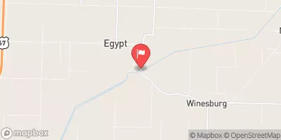 Cache River At Egypt
|
93cfs |
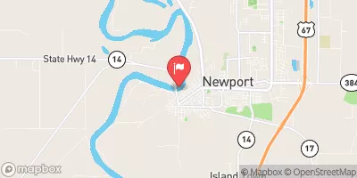 White River At Newport
|
15800cfs |
 Languille River Near Colt
|
1500cfs |
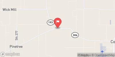
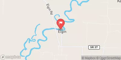 Black River At Elgin Ferry
|
9890cfs |
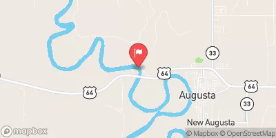 White River Near Augusta
|
16200cfs |
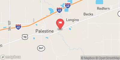 Languille River At Palestine
|
3920cfs |
15-Day Long Term Forecast
Year Completed |
1958 |
Dam Length |
850 |
River Or Stream |
L |
Primary Dam Type |
Earth |
Hydraulic Height |
9 |
Nid Storage |
200 |
Structural Height |
9 |
Hazard Potential |
Low |
Nid Height |
9 |
Seasonal Comparison
5-Day Hourly Forecast Detail
Dam Data Reference
Condition Assessment
SatisfactoryNo existing or potential dam safety deficiencies are recognized. Acceptable performance is expected under all loading conditions (static, hydrologic, seismic) in accordance with the minimum applicable state or federal regulatory criteria or tolerable risk guidelines.
Fair
No existing dam safety deficiencies are recognized for normal operating conditions. Rare or extreme hydrologic and/or seismic events may result in a dam safety deficiency. Risk may be in the range to take further action. Note: Rare or extreme event is defined by the regulatory agency based on their minimum
Poor A dam safety deficiency is recognized for normal operating conditions which may realistically occur. Remedial action is necessary. POOR may also be used when uncertainties exist as to critical analysis parameters which identify a potential dam safety deficiency. Investigations and studies are necessary.
Unsatisfactory
A dam safety deficiency is recognized that requires immediate or emergency remedial action for problem resolution.
Not Rated
The dam has not been inspected, is not under state or federal jurisdiction, or has been inspected but, for whatever reason, has not been rated.
Not Available
Dams for which the condition assessment is restricted to approved government users.
Hazard Potential Classification
HighDams assigned the high hazard potential classification are those where failure or mis-operation will probably cause loss of human life.
Significant
Dams assigned the significant hazard potential classification are those dams where failure or mis-operation results in no probable loss of human life but can cause economic loss, environment damage, disruption of lifeline facilities, or impact other concerns. Significant hazard potential classification dams are often located in predominantly rural or agricultural areas but could be in areas with population and significant infrastructure.
Low
Dams assigned the low hazard potential classification are those where failure or mis-operation results in no probable loss of human life and low economic and/or environmental losses. Losses are principally limited to the owner's property.
Undetermined
Dams for which a downstream hazard potential has not been designated or is not provided.
Not Available
Dams for which the downstream hazard potential is restricted to approved government users.
 State Park Road Poinsett County
 Craighead Forest Lake
 Lake Dunn
 Lake Austell
 Lake Frierson
 Crowley's Ridge State Park