


Rasberry Lake Dam Reservoir Report
Last Updated: April 30, 2026
Nearby: Clampit Pond Main-Oakes Pond
°F
°F
mph
Wind
%
Humidity
Rasberry Lake Dam, also known as Lake La Nora Dam, is a private-owned structure located in Columbia, Arkansas.
Summary
Completed in 1961, this Earth-type dam serves multiple purposes including fire protection, stock, small fish pond, and recreation. With a hydraulic height of 9 feet and a structural height of 13 feet, the dam spans a length of 300 feet and has a storage capacity of 59 acre-feet.
Situated on Chalybeate Springs Branch, the Rasberry Lake Dam has a low hazard potential and is currently not rated for its condition assessment. Despite lacking state regulation and inspection, the dam provides essential water resources for the local community. The dam's location in a picturesque setting with a surface area of 6.6 acres makes it an attractive spot for water resource and climate enthusiasts to appreciate the intersection of human engineering with natural landscapes.
Although lacking in certain regulatory measures, Rasberry Lake Dam stands as a testament to the importance of water management and conservation efforts. With its historical significance and functional purposes, the dam serves as a reminder of the delicate balance between human needs and environmental stewardship in the face of changing climates and water resource challenges.
Regional Streamflow Levels
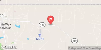 Bayou Dorcheat Near Springhill
|
409cfs |
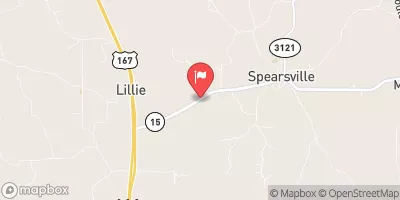 Little Corney Bayou Near Lillie
|
403cfs |
 Smackover Creek Near Smackover
|
187cfs |
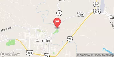 Ouachita River At Camden
|
8380cfs |
 Red River At Spring Bank
|
12200cfs |
 Red Chute Bayou At Sligo
|
127cfs |
15-Day Long Term Forecast
Year Completed |
1961 |
Dam Length |
300 |
River Or Stream |
CHALYBEATE SPRINGS BRANCH |
Primary Dam Type |
Earth |
Surface Area |
6.6 |
Hydraulic Height |
9 |
Drainage Area |
0.44 |
Nid Storage |
59 |
Structural Height |
13 |
Hazard Potential |
Low |
Nid Height |
13 |
Seasonal Comparison
5-Day Hourly Forecast Detail
Dam Data Reference
Condition Assessment
SatisfactoryNo existing or potential dam safety deficiencies are recognized. Acceptable performance is expected under all loading conditions (static, hydrologic, seismic) in accordance with the minimum applicable state or federal regulatory criteria or tolerable risk guidelines.
Fair
No existing dam safety deficiencies are recognized for normal operating conditions. Rare or extreme hydrologic and/or seismic events may result in a dam safety deficiency. Risk may be in the range to take further action. Note: Rare or extreme event is defined by the regulatory agency based on their minimum
Poor A dam safety deficiency is recognized for normal operating conditions which may realistically occur. Remedial action is necessary. POOR may also be used when uncertainties exist as to critical analysis parameters which identify a potential dam safety deficiency. Investigations and studies are necessary.
Unsatisfactory
A dam safety deficiency is recognized that requires immediate or emergency remedial action for problem resolution.
Not Rated
The dam has not been inspected, is not under state or federal jurisdiction, or has been inspected but, for whatever reason, has not been rated.
Not Available
Dams for which the condition assessment is restricted to approved government users.
Hazard Potential Classification
HighDams assigned the high hazard potential classification are those where failure or mis-operation will probably cause loss of human life.
Significant
Dams assigned the significant hazard potential classification are those dams where failure or mis-operation results in no probable loss of human life but can cause economic loss, environment damage, disruption of lifeline facilities, or impact other concerns. Significant hazard potential classification dams are often located in predominantly rural or agricultural areas but could be in areas with population and significant infrastructure.
Low
Dams assigned the low hazard potential classification are those where failure or mis-operation results in no probable loss of human life and low economic and/or environmental losses. Losses are principally limited to the owner's property.
Undetermined
Dams for which a downstream hazard potential has not been designated or is not provided.
Not Available
Dams for which the downstream hazard potential is restricted to approved government users.
Area Campgrounds
| Location | Reservations | Toilets |
|---|---|---|
 Bucktail Camp Complex
|
||
 Bucktail Hunter Camp
|
||
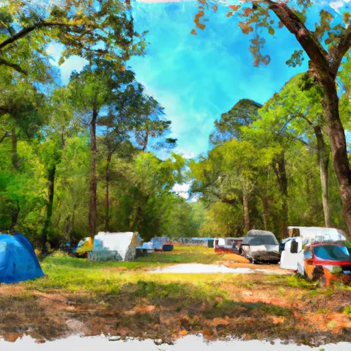 Turkey Trot Complex
|