


Cheramie Dam No. 2 Reservoir Report
Last Updated: May 7, 2026
Nearby: Ms06608 Lake Dam Ms07279 Lake Dam
°F
°F
mph
Wind
%
Humidity
Cheramie Dam No.
Summary
2 in Mississippi is a privately owned structure regulated by the state Department of Environmental Quality. This earth dam, standing at a height of 21.3 feet and stretching 649 feet in length, serves primarily as a Fish and Wildlife Pond. With a storage capacity of 74.77 acre-feet and low hazard potential, the dam supports a surface area of 6.13 acres and a drainage area of 0.1 square miles.
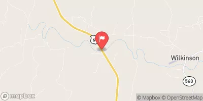
Located in Wilkinson County, Mississippi, Cheramie Dam No. 2 is associated with the West Fork Thompson Creek and falls under the jurisdiction of the New Orleans District of the US Army Corps of Engineers. The dam's spillway is uncontrolled, and it has a moderate risk assessment rating. Although not currently rated for condition assessment, the dam is subject to state inspection, enforcement, and permitting processes to ensure its safety and compliance with regulations.
For water resource and climate enthusiasts, Cheramie Dam No. 2 presents an intriguing case study in private dam ownership and state regulation. Its role in supporting fish and wildlife habitat, along with its moderate risk assessment, highlights the complex interplay between infrastructure, environmental management, and public safety in the context of water resource management.
Regional Streamflow Levels
 Buffalo River Nr Woodville
|
170cfs |
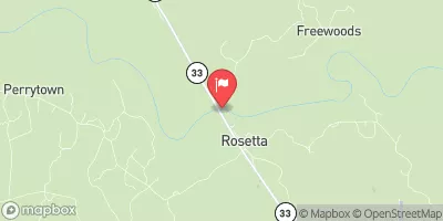 Homochitto River At Rosetta
|
14600cfs |
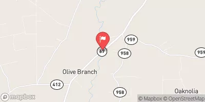 Comite River Near Olive Branch
|
65cfs |
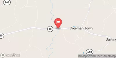 Amite River Near Darlington
|
524cfs |
 (Coe) Atchafalaya River At Simmesport
|
230000cfs |
 Tickfaw River At Liverpool
|
342cfs |
15-Day Long Term Forecast
Dam Length |
649 |
Dam Height |
21.3 |
River Or Stream |
UNT OF WEST FORK THOMPSON CREEK |
Primary Dam Type |
Earth |
Surface Area |
6.13 |
Drainage Area |
0.1 |
Nid Storage |
74.77 |
Hazard Potential |
Low |
Nid Height |
21 |
Seasonal Comparison
5-Day Hourly Forecast Detail
Dam Data Reference
Condition Assessment
SatisfactoryNo existing or potential dam safety deficiencies are recognized. Acceptable performance is expected under all loading conditions (static, hydrologic, seismic) in accordance with the minimum applicable state or federal regulatory criteria or tolerable risk guidelines.
Fair
No existing dam safety deficiencies are recognized for normal operating conditions. Rare or extreme hydrologic and/or seismic events may result in a dam safety deficiency. Risk may be in the range to take further action. Note: Rare or extreme event is defined by the regulatory agency based on their minimum
Poor A dam safety deficiency is recognized for normal operating conditions which may realistically occur. Remedial action is necessary. POOR may also be used when uncertainties exist as to critical analysis parameters which identify a potential dam safety deficiency. Investigations and studies are necessary.
Unsatisfactory
A dam safety deficiency is recognized that requires immediate or emergency remedial action for problem resolution.
Not Rated
The dam has not been inspected, is not under state or federal jurisdiction, or has been inspected but, for whatever reason, has not been rated.
Not Available
Dams for which the condition assessment is restricted to approved government users.
Hazard Potential Classification
HighDams assigned the high hazard potential classification are those where failure or mis-operation will probably cause loss of human life.
Significant
Dams assigned the significant hazard potential classification are those dams where failure or mis-operation results in no probable loss of human life but can cause economic loss, environment damage, disruption of lifeline facilities, or impact other concerns. Significant hazard potential classification dams are often located in predominantly rural or agricultural areas but could be in areas with population and significant infrastructure.
Low
Dams assigned the low hazard potential classification are those where failure or mis-operation results in no probable loss of human life and low economic and/or environmental losses. Losses are principally limited to the owner's property.
Undetermined
Dams for which a downstream hazard potential has not been designated or is not provided.
Not Available
Dams for which the downstream hazard potential is restricted to approved government users.
 Bayou Cocodrie
 Big Alabama Bayou
 Bayou Courtableau