


Ms04171 Lake Dam Reservoir Report
Last Updated: May 1, 2026
Nearby: Ms04172 Lake Dam Ms04174 Lake Dam
°F
°F
mph
Wind
%
Humidity
Ms04171 Lake Dam in Mississippi is a privately owned structure regulated by the state's Department of Environmental Quality.
Summary
This earth dam, with a buttress core type, stands at a height of 12 feet and has a storage capacity of 89 acre-feet. The primary purpose of this dam is for recreational use, providing a surface area of 10 acres for activities like fishing, boating, and swimming.
Although the dam's hazard potential is undetermined and its condition is not rated, it falls under a moderate risk category. The presence of an uncontrolled spillway suggests a potential for flooding events, emphasizing the importance of proper risk management measures. With a risk assessment score of 3, it is crucial for authorities to conduct regular inspections and ensure emergency preparedness to mitigate any potential threats to the surrounding area.
Located in Pearl River, Mississippi, this dam's data reflects a need for ongoing monitoring and maintenance to ensure the safety and sustainability of the structure. Enthusiasts of water resources and climate change may find this case study intriguing, highlighting the complexities and challenges associated with managing dams in a changing climate.
Regional Streamflow Levels
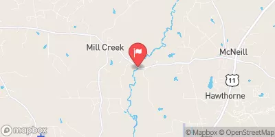 West Hobolochitto Creek Nr Mcneill
|
832cfs |
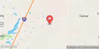 East Hobolochitto Creek Nr Caesar
|
390cfs |
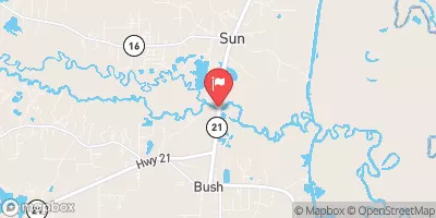 Bogue Chitto River Near Bush
|
1920cfs |
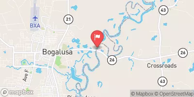 Pearl River Near Bogalusa
|
7860cfs |
 Wolf River Nr Landon
|
1260cfs |
 Tchefuncta River Near Folsom
|
157cfs |
15-Day Long Term Forecast
Dam Height |
12 |
Surface Area |
10 |
Nid Storage |
89 |
Hazard Potential |
Undetermined |
Nid Height |
12 |
Seasonal Comparison
5-Day Hourly Forecast Detail
Dam Data Reference
Condition Assessment
SatisfactoryNo existing or potential dam safety deficiencies are recognized. Acceptable performance is expected under all loading conditions (static, hydrologic, seismic) in accordance with the minimum applicable state or federal regulatory criteria or tolerable risk guidelines.
Fair
No existing dam safety deficiencies are recognized for normal operating conditions. Rare or extreme hydrologic and/or seismic events may result in a dam safety deficiency. Risk may be in the range to take further action. Note: Rare or extreme event is defined by the regulatory agency based on their minimum
Poor A dam safety deficiency is recognized for normal operating conditions which may realistically occur. Remedial action is necessary. POOR may also be used when uncertainties exist as to critical analysis parameters which identify a potential dam safety deficiency. Investigations and studies are necessary.
Unsatisfactory
A dam safety deficiency is recognized that requires immediate or emergency remedial action for problem resolution.
Not Rated
The dam has not been inspected, is not under state or federal jurisdiction, or has been inspected but, for whatever reason, has not been rated.
Not Available
Dams for which the condition assessment is restricted to approved government users.
Hazard Potential Classification
HighDams assigned the high hazard potential classification are those where failure or mis-operation will probably cause loss of human life.
Significant
Dams assigned the significant hazard potential classification are those dams where failure or mis-operation results in no probable loss of human life but can cause economic loss, environment damage, disruption of lifeline facilities, or impact other concerns. Significant hazard potential classification dams are often located in predominantly rural or agricultural areas but could be in areas with population and significant infrastructure.
Low
Dams assigned the low hazard potential classification are those where failure or mis-operation results in no probable loss of human life and low economic and/or environmental losses. Losses are principally limited to the owner's property.
Undetermined
Dams for which a downstream hazard potential has not been designated or is not provided.
Not Available
Dams for which the downstream hazard potential is restricted to approved government users.
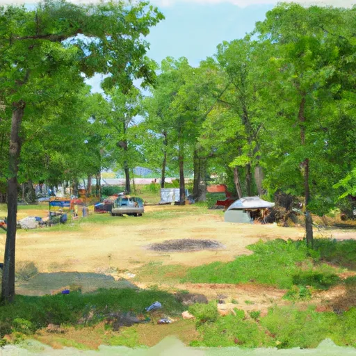
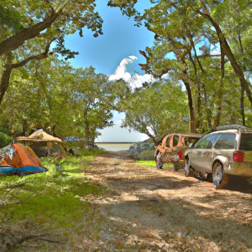
Area Campgrounds
| Location | Reservations | Toilets |
|---|---|---|
 Walkiah Bluff Water Park
|
||
 WMA camp site (free)
|
||
 Berry Creek Cabins
|
||
 McLeod Water Park
|
||
 Fontainebleau State Park
|
||
 Fairview Riverside State Park
|
 Burnt Bridge Road Pearl River County