
Upper Highland Lake Dam Reservoir Report
Last Updated: December 19, 2025
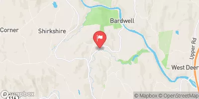
Upper Highland Lake Dam, located in Goshen, Massachusetts, is a state-regulated structure managed by the Department of Conservation and Recreation.
°F
°F
mph
Wind
%
Humidity
Summary
Built in 1872, this rockfill dam stands at a height of 27 feet and serves as a Fish and Wildlife Pond, providing essential habitat for aquatic life in the area. With a storage capacity of 829 acre-feet and a surface area of 54 acres, the dam plays a crucial role in supporting recreational activities and maintaining the ecological balance of the West Branch Mill River.
Despite its satisfactory condition assessment, Upper Highland Lake Dam has a high hazard potential, emphasizing the importance of regular inspections and maintenance to ensure public safety. The dam's spillway, classified as uncontrolled, highlights the need for effective risk management measures to mitigate potential flooding risks. With a moderate risk assessment rating, ongoing monitoring and adherence to emergency action plans are essential to address any potential threats to the dam's structural integrity and surrounding communities.
As a significant water resource in Hampshire County, Upper Highland Lake Dam serves as a vital component of the local ecosystem and recreational landscape. With its historical significance and functional importance, the dam underscores the intersection of water management, climate resilience, and environmental stewardship in the region. Enhancing its risk management strategies and emergency preparedness will be crucial in safeguarding the dam and the surrounding area from potential hazards and ensuring its continued contribution to the community's well-being.
Year Completed |
1872 |
Dam Length |
560 |
Dam Height |
27 |
River Or Stream |
WEST BRANCH MILL RIVER |
Primary Dam Type |
Rockfill |
Surface Area |
54 |
Hydraulic Height |
22.5 |
Drainage Area |
0.92 |
Nid Storage |
829 |
Hazard Potential |
High |
Foundations |
Unlisted/Unknown |
Nid Height |
27 |
Seasonal Comparison
Weather Forecast
Nearby Streamflow Levels
 South River Near Conway
|
33cfs |
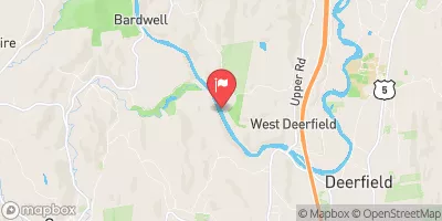 Deerfield River Near West Deerfield
|
1060cfs |
 Mill River At Northampton
|
36cfs |
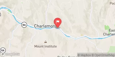 Deerfield River At Charlemont
|
986cfs |
 Westfield River At Knightville
|
129cfs |
 North River At Shattuckville
|
59cfs |
Dam Data Reference
Condition Assessment
SatisfactoryNo existing or potential dam safety deficiencies are recognized. Acceptable performance is expected under all loading conditions (static, hydrologic, seismic) in accordance with the minimum applicable state or federal regulatory criteria or tolerable risk guidelines.
Fair
No existing dam safety deficiencies are recognized for normal operating conditions. Rare or extreme hydrologic and/or seismic events may result in a dam safety deficiency. Risk may be in the range to take further action. Note: Rare or extreme event is defined by the regulatory agency based on their minimum
Poor A dam safety deficiency is recognized for normal operating conditions which may realistically occur. Remedial action is necessary. POOR may also be used when uncertainties exist as to critical analysis parameters which identify a potential dam safety deficiency. Investigations and studies are necessary.
Unsatisfactory
A dam safety deficiency is recognized that requires immediate or emergency remedial action for problem resolution.
Not Rated
The dam has not been inspected, is not under state or federal jurisdiction, or has been inspected but, for whatever reason, has not been rated.
Not Available
Dams for which the condition assessment is restricted to approved government users.
Hazard Potential Classification
HighDams assigned the high hazard potential classification are those where failure or mis-operation will probably cause loss of human life.
Significant
Dams assigned the significant hazard potential classification are those dams where failure or mis-operation results in no probable loss of human life but can cause economic loss, environment damage, disruption of lifeline facilities, or impact other concerns. Significant hazard potential classification dams are often located in predominantly rural or agricultural areas but could be in areas with population and significant infrastructure.
Low
Dams assigned the low hazard potential classification are those where failure or mis-operation results in no probable loss of human life and low economic and/or environmental losses. Losses are principally limited to the owner's property.
Undetermined
Dams for which a downstream hazard potential has not been designated or is not provided.
Not Available
Dams for which the downstream hazard potential is restricted to approved government users.
Area Campgrounds
| Location | Reservations | Toilets |
|---|---|---|
 DAR State Forest
|
||
 Windsor State Forest
|
||
 KOA weathampton
|
 Upper Highland Lake Dam