Prince Frederick Wwtp Pond 2 Dam

Prince Frederick Wwtp Pond 2
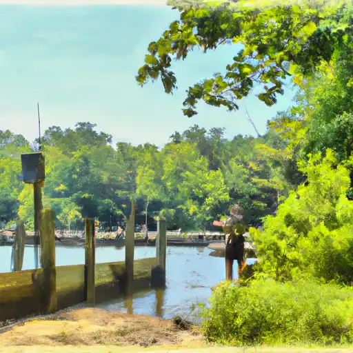
Prince Frederick Wwtp Pond 2 is a vital water resource facility in Prince Frederick, Maryland, with a primary purpose classified as "Other." Owned by the local government, this offstream pond on Parker Creek was completed in 2002 and stands at a structural height of 25 feet with a dam height of 65 feet. The dam type is categorized as Earth with a core made of Stone and a foundation of Soil. The pond has a storage capacity of 100 acre-feet and covers a surface area of 2.5 acres, serving as a crucial water storage and management system in the region.
Managed by the Maryland Dam Safety regulatory agency, Prince Frederick Wwtp Pond 2 has a low hazard potential but is rated as having a high risk level. The last inspection in December 2019 revealed that the condition was not rated, with the condition assessment date set in April 2021. With a designated inspection frequency of 5 years, the pond features a needle outlet gate and lacks a spillway, lock structures, or maximum discharge capacity. Despite the risk assessment, the facility plays a crucial role in water resource management and climate resilience efforts in Calvert County, Maryland.
Overall, Prince Frederick Wwtp Pond 2 is a key component of the water infrastructure in Calvert County, providing essential storage and management capabilities for Parker Creek. Despite its high risk assessment, the pond's low hazard potential and regular inspections ensure its continued operation and safety. As a primary source of water resource management in the region, this facility stands as a testament to the importance of sustainable water infrastructure in addressing climate challenges and ensuring community resilience in the face of changing environmental conditions.
Plan around the weather
Same NOAA / yr.no feed Snoflo's iOS app uses. Watch the precipitation column on the meteogram -- rain on the basin upstream typically lifts inflow 24-72 hours later.
Next 5 days, hour by hour
Temperature line with weather symbols on top, snow + rain accumulation as columns, humidity as a dotted line.
5-day forecast table
Every 3 hours, broken out across temperature, snow, rain, humidity, and wind. Each cell is colour-coded relative to the column min/max.
| Time | Condition | Temp (°F) | Snow (in) | Rain (in) | Humidity (%) | Wind (mps) | Wind dir |
|---|---|---|---|---|---|---|---|
| Loading detailed forecast… | |||||||
15-day temperature & precipitation
Daily temperatures, snow, and rain projected over the next two weeks.
Nearby streamflow gauges
USGS streamgauges around Prince Frederick Wwtp Pond 2 -- inflows here typically show up in storage 24-72 hours later.
| Streamgauge | Discharge | View |
|---|---|---|
| St Clement Creek Near Clements | 1 cfs | → |
| Zekiah Swamp Run Near Newtown | 1 cfs | → |
| St Marys River At Great Mills | 6 cfs | → |
| Western Branch At Upper Marlboro | 6 cfs | → |
| Piscataway Creek At Piscataway | 0 cfs | → |
| Mattawoman Creek Near Pomonkey | · | → |


About Prince Frederick Wwtp Pond 2
Where does the data for Prince Frederick Wwtp Pond 2 come from?
Structural and regulatory data come from the U.S. Army Corps of Engineers' National Inventory of Dams (NID). Weather forecast comes from NOAA / yr.no -- the same feed Snoflo's iOS app uses.
How often is the report updated?
NID structural data refreshes annually as the Corps publishes updated assessments. The weather forecast refreshes throughout the day.
What does the Low hazard rating mean?
The Corps of Engineers' hazard potential classification grades probable consequences if the dam fails: High = probable loss of human life; Significant = no probable loss of human life but possible economic loss / environmental damage; Low = no probable loss of human life, only minor economic / environmental losses. See the Dam Data Reference card below for the full definitions.
What's "% of normal"?
The current storage value compared to the historical average storage on this calendar day. 100% = right on average; values above 100% mean above-normal storage (wet year); values below mean below-normal (dry year or drought).
Can I get alerts when storage crosses a threshold?
Yes -- alerts are managed in the Snoflo iOS app. Favorite this dam, set a threshold, and you'll get a push the moment conditions cross.
Dam data reference
Condition Assessment
- Satisfactory
- No existing or potential dam safety deficiencies are recognized. Acceptable performance is expected under all loading conditions (static, hydrologic, seismic) in accordance with the minimum applicable state or federal regulatory criteria or tolerable risk guidelines.
- Fair
- No existing dam safety deficiencies are recognized for normal operating conditions. Rare or extreme hydrologic and/or seismic events may result in a dam safety deficiency. Risk may be in the range to take further action.
- Poor
- A dam safety deficiency is recognized for normal operating conditions which may realistically occur. Remedial action is necessary. POOR may also be used when uncertainties exist as to critical analysis parameters which identify a potential dam safety deficiency.
- Unsatisfactory
- A dam safety deficiency is recognized that requires immediate or emergency remedial action for problem resolution.
- Not Rated
- The dam has not been inspected, is not under state or federal jurisdiction, or has been inspected but, for whatever reason, has not been rated.
Hazard Potential Classification
- High
- Dams assigned the high hazard potential classification are those where failure or mis-operation will probably cause loss of human life.
- Significant
- Dams assigned the significant hazard potential classification are those dams where failure or mis-operation results in no probable loss of human life but can cause economic loss, environmental damage, disruption of lifeline facilities, or impact other concerns. Significant hazard potential classification dams are often located in predominantly rural or agricultural areas but could be in areas with population and significant infrastructure.
- Low
- Dams assigned the low hazard potential classification are those where failure or mis-operation results in no probable loss of human life and low economic and/or environmental losses. Losses are principally limited to the owner's property.
- Undetermined
- Dams for which a downstream hazard potential has not been designated or is not provided.