


Robbins Pond Dam Reservoir Report
Last Updated: April 27, 2026
°F
°F
mph
Wind
%
Humidity
Robbins Pond Dam, located in Rindge, New Hampshire, was completed in 1918 and serves multiple purposes including fire protection and providing a habitat for small fish.
Summary
The dam stands at a height of 10 feet and stretches 640 feet in length, with a storage capacity of 270 acre-feet. It is primarily an earth dam with a buttress core type and is regulated by the NHDES Dam Bureau.
Despite being classified as having a low hazard potential, Robbins Pond Dam has a moderate risk assessment of 3 on a scale of 1 to 5. The dam's condition was last assessed as satisfactory in 2015, with inspections occurring every 6 years. In the event of an emergency, the dam does not currently have an Emergency Action Plan (EAP) in place, indicating a potential area for improvement in risk management measures.
Overall, Robbins Pond Dam provides essential services for the local community while also serving as a potential area for enhancement in emergency preparedness and risk mitigation. With its unique design and historical significance, the dam stands as a testament to the importance of water resource management and climate resilience in the face of evolving environmental challenges.
Regional Streamflow Levels

15-Day Long Term Forecast
Year Completed |
1918 |
Dam Length |
640 |
Dam Height |
10 |
River Or Stream |
ROBBINS BROOK |
Primary Dam Type |
Earth |
Surface Area |
45 |
Drainage Area |
3.68 |
Nid Storage |
270 |
Hazard Potential |
Low |
Foundations |
Unlisted/Unknown |
Nid Height |
10 |
Seasonal Comparison
5-Day Hourly Forecast Detail
Dam Data Reference
Condition Assessment
SatisfactoryNo existing or potential dam safety deficiencies are recognized. Acceptable performance is expected under all loading conditions (static, hydrologic, seismic) in accordance with the minimum applicable state or federal regulatory criteria or tolerable risk guidelines.
Fair
No existing dam safety deficiencies are recognized for normal operating conditions. Rare or extreme hydrologic and/or seismic events may result in a dam safety deficiency. Risk may be in the range to take further action. Note: Rare or extreme event is defined by the regulatory agency based on their minimum
Poor A dam safety deficiency is recognized for normal operating conditions which may realistically occur. Remedial action is necessary. POOR may also be used when uncertainties exist as to critical analysis parameters which identify a potential dam safety deficiency. Investigations and studies are necessary.
Unsatisfactory
A dam safety deficiency is recognized that requires immediate or emergency remedial action for problem resolution.
Not Rated
The dam has not been inspected, is not under state or federal jurisdiction, or has been inspected but, for whatever reason, has not been rated.
Not Available
Dams for which the condition assessment is restricted to approved government users.
Hazard Potential Classification
HighDams assigned the high hazard potential classification are those where failure or mis-operation will probably cause loss of human life.
Significant
Dams assigned the significant hazard potential classification are those dams where failure or mis-operation results in no probable loss of human life but can cause economic loss, environment damage, disruption of lifeline facilities, or impact other concerns. Significant hazard potential classification dams are often located in predominantly rural or agricultural areas but could be in areas with population and significant infrastructure.
Low
Dams assigned the low hazard potential classification are those where failure or mis-operation results in no probable loss of human life and low economic and/or environmental losses. Losses are principally limited to the owner's property.
Undetermined
Dams for which a downstream hazard potential has not been designated or is not provided.
Not Available
Dams for which the downstream hazard potential is restricted to approved government users.
Area Campgrounds
| Location | Reservations | Toilets |
|---|---|---|
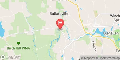
 Lake Dennison State Park
|
||
 North Dennison Camping Area
|
||
 East Dennison Camping Area
|
||
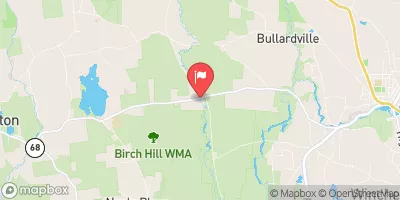
 Otter River State Forest
|
||
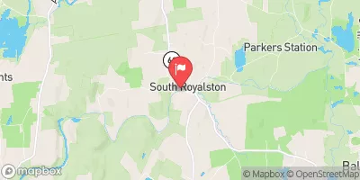
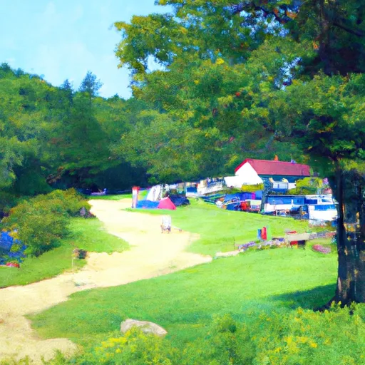 Beaman Pond Campground
|
||
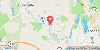
 Tully Lake
|
 Pool Pond boat launch