
Lake Sally Dam Reservoir Report
Last Updated: December 25, 2025
Lake Sally Dam, located in National Mine, Michigan, is a privately owned structure built in 1914 with a primary purpose of water resource management.
°F
°F
mph
Wind
%
Humidity
Summary
The dam, standing at a height of 15 feet and stretching 100 feet in length, serves to control Ely Creek's flow, providing a storage capacity of 1000 acre-feet. With a surface area of 136 acres and a drainage area of 2.3 square miles, the dam plays a crucial role in regulating water levels in the region.
Despite its age, Lake Sally Dam remains in fair condition, with a high hazard potential due to its uncontrolled spillway type. The dam undergoes inspection every three years, with the last assessment conducted in August 2018. The risk assessment for the dam is moderate, highlighting the importance of continued monitoring and maintenance to ensure the safety and functionality of the structure. As an integral part of the water infrastructure in Marquette County, Lake Sally Dam showcases the intersection of engineering, climate resilience, and environmental stewardship in managing water resources for the community.
With a history dating back over a century, Lake Sally Dam stands as a testament to the enduring importance of water management in Michigan. Its role in storing and regulating water flow in the area, coupled with its high hazard potential and moderate risk assessment, underscores the need for ongoing attention and investment in its upkeep. As climate change impacts water resources worldwide, structures like Lake Sally Dam serve as critical assets in safeguarding communities against flooding and ensuring sustainable water use for future generations.
Year Completed |
1914 |
Dam Length |
100 |
Dam Height |
15 |
River Or Stream |
Ely Creek |
Primary Dam Type |
Gravity |
Surface Area |
136 |
Hydraulic Height |
15 |
Drainage Area |
2.3 |
Nid Storage |
1000 |
Structural Height |
15 |
Hazard Potential |
High |
Nid Height |
15 |
Seasonal Comparison
Weather Forecast
Nearby Streamflow Levels

Dam Data Reference
Condition Assessment
SatisfactoryNo existing or potential dam safety deficiencies are recognized. Acceptable performance is expected under all loading conditions (static, hydrologic, seismic) in accordance with the minimum applicable state or federal regulatory criteria or tolerable risk guidelines.
Fair
No existing dam safety deficiencies are recognized for normal operating conditions. Rare or extreme hydrologic and/or seismic events may result in a dam safety deficiency. Risk may be in the range to take further action. Note: Rare or extreme event is defined by the regulatory agency based on their minimum
Poor A dam safety deficiency is recognized for normal operating conditions which may realistically occur. Remedial action is necessary. POOR may also be used when uncertainties exist as to critical analysis parameters which identify a potential dam safety deficiency. Investigations and studies are necessary.
Unsatisfactory
A dam safety deficiency is recognized that requires immediate or emergency remedial action for problem resolution.
Not Rated
The dam has not been inspected, is not under state or federal jurisdiction, or has been inspected but, for whatever reason, has not been rated.
Not Available
Dams for which the condition assessment is restricted to approved government users.
Hazard Potential Classification
HighDams assigned the high hazard potential classification are those where failure or mis-operation will probably cause loss of human life.
Significant
Dams assigned the significant hazard potential classification are those dams where failure or mis-operation results in no probable loss of human life but can cause economic loss, environment damage, disruption of lifeline facilities, or impact other concerns. Significant hazard potential classification dams are often located in predominantly rural or agricultural areas but could be in areas with population and significant infrastructure.
Low
Dams assigned the low hazard potential classification are those where failure or mis-operation results in no probable loss of human life and low economic and/or environmental losses. Losses are principally limited to the owner's property.
Undetermined
Dams for which a downstream hazard potential has not been designated or is not provided.
Not Available
Dams for which the downstream hazard potential is restricted to approved government users.
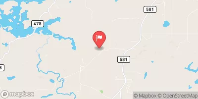
 Lake Sally Dam
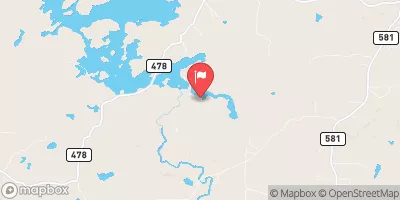
 Schweitzer Reservoir Near Palmer
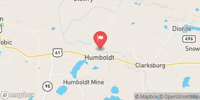
 Greenwood Reservoir Near Greenwood
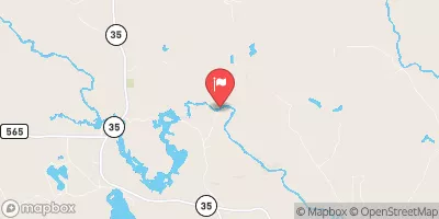
 County Road PFJ Tilden Township