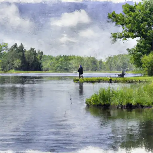
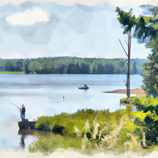
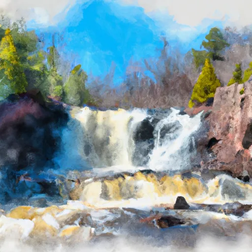
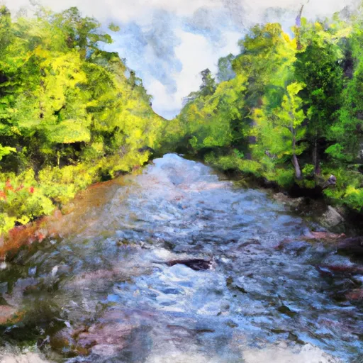
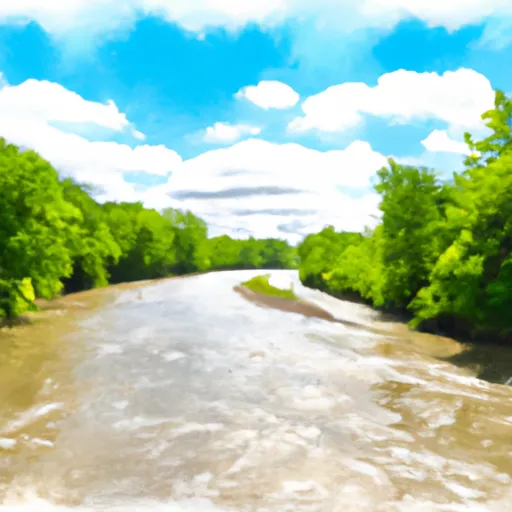
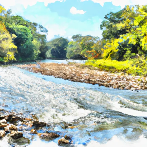
Lake Gogebic Near Bergland Reservoir
As of July 22, 2026, Lake Gogebic Near Bergland is holding 3 ft of water — 80% of normal storage for this date. Storage data refreshed throughout the day.

Lake Gogebic Near Bergland
Lake Gogebic is a 13,380-acre lake located near Bergland in Michigan. The lake's history dates back to the pre-settlement era, where it was known as "Mooz" by the Chippewa Indians. The lake's hydrology is mainly fed by two rivers, the Ontonagon and Baltimore Rivers, which provide a significant surface flow into the lake. The lake also receives snowpack providers from the surrounding areas, which contribute to its water levels. The lake has been used for agricultural and recreational purposes, such as fishing, boating, and swimming. The lake is home to various fish species, including walleye, northern pike, and smallmouth bass. Overall, Lake Gogebic is a crucial resource for the Bergland community and the state of Michigan.
Daily levels at Lake Gogebic Near Bergland
Storage volume, pool elevation, and total release plotted from the operating agency's daily observations.
Gage height, ft
ft · code 00065
Temperature, water, °C
deg C · code 00010
Plan around the weather
Same NOAA / yr.no feed Snoflo's iOS app uses. Watch the precipitation column on the meteogram -- rain on the basin upstream typically lifts inflow 24-72 hours later.
Next 5 days, hour by hour
Temperature line with weather symbols on top, snow + rain accumulation as columns, humidity as a dotted line.
5-day forecast table
Every 3 hours, broken out across temperature, snow, rain, humidity, and wind. Each cell is colour-coded relative to the column min/max.
| Time | Condition | Temp (°F) | Snow (in) | Rain (in) | Humidity (%) | Wind (mps) | Wind dir |
|---|---|---|---|---|---|---|---|
| Loading detailed forecast… | |||||||
15-day temperature & precipitation
Daily temperatures, snow, and rain projected over the next two weeks.
Nearby streamflow gauges
USGS streamgauges around Lake Gogebic Near Bergland -- inflows here typically show up in storage 24-72 hours later.
| Streamgauge | Discharge | View |
|---|---|---|
| West Branch Ontonagon River Near Bergland | 49 cfs | → |
| Presque Isle River Near Tula | 66 cfs | → |
| Ontonagon River Near Rockland | 599 cfs | → |
| Bond Falls Canal Near Paulding | 91 cfs | → |
| Cisco Branch Ontonagon R At Cisco Lake Outlet | 1 cfs | → |
| Black River Near Bessemer | 21 cfs | → |
Make a day of it
Boat launches, lakeside camping, fishing access, and other reservoirs near Lake Gogebic Near Bergland.
Boat launches
See all →


Campgrounds
See all →


Fishing spots
See all →


River runs
See all →


About Lake Gogebic Near Bergland
Where does the data for Lake Gogebic Near Bergland come from?
Daily storage, pool elevation, and release rates are sourced from USGS, USBR, and USACE monitoring stations. Weather forecast comes from NOAA / yr.no -- the same feed Snoflo's iOS app uses.
How often is the report updated?
Storage observations are updated daily by the operating agency. The 15-day weather forecast refreshes throughout the day. Snoflo caches and renders the most recent observation -- check the "as of" timestamp on the storage card.
What does the Hazard hazard rating mean?
The Corps of Engineers' hazard potential classification grades probable consequences if the dam fails: High = probable loss of human life; Significant = no probable loss of human life but possible economic loss / environmental damage; Low = no probable loss of human life, only minor economic / environmental losses. See the Dam Data Reference card below for the full definitions.
What's "% of normal"?
The current storage value compared to the historical average storage on this calendar day. 100% = right on average; values above 100% mean above-normal storage (wet year); values below mean below-normal (dry year or drought).
Can I get alerts when storage crosses a threshold?
Yes -- alerts are managed in the Snoflo iOS app. Favorite this reservoir, set a threshold, and you'll get a push the moment conditions cross.