
Quastad Dam Reservoir Report
Nearby: Munson Wrp Dam Reitter-Lair Marsh Dam
Last Updated: January 10, 2026
Quastad Dam, located in Emmet County, Iowa, was completed in 1975 and is owned privately.
°F
°F
mph
Wind
%
Humidity
Summary
The dam, designed by USDA NRCS, serves multiple purposes, including fire protection, stock, or small fish pond, flood risk reduction, and water supply. With a height of 35 feet and a length of 220 feet, Quastad Dam has a storage capacity of 64 acre-feet and covers a surface area of 4.7 acres. It is regulated by the Iowa Department of Natural Resources and is inspected regularly to ensure public safety.
The dam's primary construction material is earth, with a soil foundation. It has an uncontrolled spillway type and a low hazard potential rating. The risk assessment for Quastad Dam is moderate (3), indicating a level of risk that requires management measures. Although the dam's condition is currently not rated, it meets state regulatory standards and is subject to enforcement and inspection by Iowa DNR. With its strategic location on the TR-West Fork Des Moines River, Quastad Dam plays a crucial role in water resource management and climate resilience efforts in the region.
Overall, Quastad Dam stands as a testament to sustainable water infrastructure development, balancing the needs of fire protection, agriculture, and flood control. As a key component of the local water supply system, it underscores the importance of responsible dam construction and maintenance. With its moderate risk level and low hazard potential, Quastad Dam exemplifies effective risk management in safeguarding the surrounding community from potential water-related emergencies. For water resource and climate enthusiasts, Quastad Dam serves as a valuable case study in the intersection of infrastructure, environment, and public safety.
Year Completed |
1975 |
Dam Length |
220 |
Dam Height |
35 |
River Or Stream |
TR-WEST FORK DES MOINES |
Primary Dam Type |
Earth |
Surface Area |
4.7 |
Drainage Area |
0.27 |
Nid Storage |
64 |
Hazard Potential |
Low |
Foundations |
Soil |
Nid Height |
35 |
Seasonal Comparison
Weather Forecast
Nearby Streamflow Levels
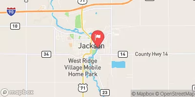 Des Moines River At Jackson
|
55cfs |
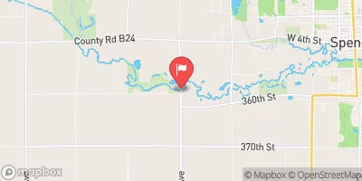 Ocheyedan River Near Spencer
|
59cfs |
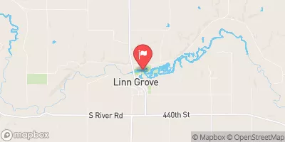 Little Sioux River At Linn Grove
|
257cfs |
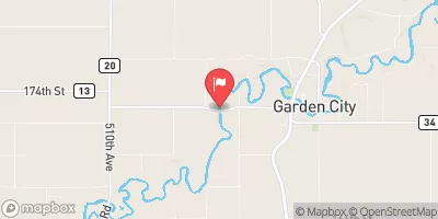 Watonwan River Near Garden City
|
82cfs |
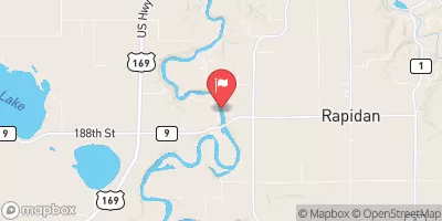 Blue Earth River Near Rapidan
|
328cfs |
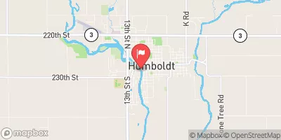 Des Moines River At Humboldt
|
401cfs |
Dam Data Reference
Condition Assessment
SatisfactoryNo existing or potential dam safety deficiencies are recognized. Acceptable performance is expected under all loading conditions (static, hydrologic, seismic) in accordance with the minimum applicable state or federal regulatory criteria or tolerable risk guidelines.
Fair
No existing dam safety deficiencies are recognized for normal operating conditions. Rare or extreme hydrologic and/or seismic events may result in a dam safety deficiency. Risk may be in the range to take further action. Note: Rare or extreme event is defined by the regulatory agency based on their minimum
Poor A dam safety deficiency is recognized for normal operating conditions which may realistically occur. Remedial action is necessary. POOR may also be used when uncertainties exist as to critical analysis parameters which identify a potential dam safety deficiency. Investigations and studies are necessary.
Unsatisfactory
A dam safety deficiency is recognized that requires immediate or emergency remedial action for problem resolution.
Not Rated
The dam has not been inspected, is not under state or federal jurisdiction, or has been inspected but, for whatever reason, has not been rated.
Not Available
Dams for which the condition assessment is restricted to approved government users.
Hazard Potential Classification
HighDams assigned the high hazard potential classification are those where failure or mis-operation will probably cause loss of human life.
Significant
Dams assigned the significant hazard potential classification are those dams where failure or mis-operation results in no probable loss of human life but can cause economic loss, environment damage, disruption of lifeline facilities, or impact other concerns. Significant hazard potential classification dams are often located in predominantly rural or agricultural areas but could be in areas with population and significant infrastructure.
Low
Dams assigned the low hazard potential classification are those where failure or mis-operation results in no probable loss of human life and low economic and/or environmental losses. Losses are principally limited to the owner's property.
Undetermined
Dams for which a downstream hazard potential has not been designated or is not provided.
Not Available
Dams for which the downstream hazard potential is restricted to approved government users.
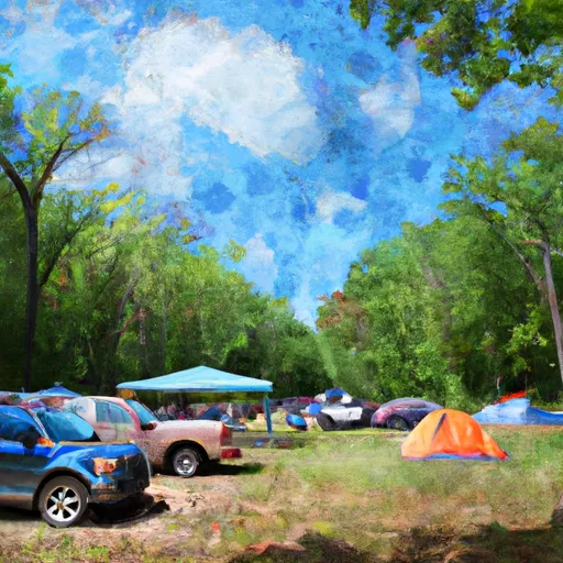
 Fort. Defiance Campground
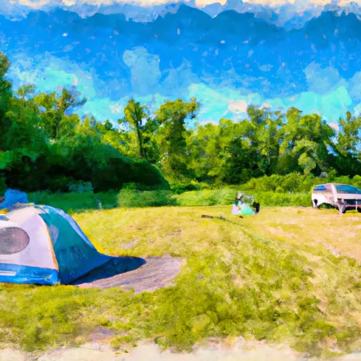 Hale Slough WMA
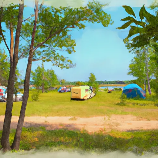 Elinor Bedell State Park Campground
 Lutheran Lakeside
 Robertson County Park
 Marble Beach State Recreation Area Campground
 Quastad Dam
 Spirit Lake Near Orleans
 130th Street 3653, Emmet County