
Summary
Completed in 1976, this gravity dam stands at a height of 10 feet and stretches 7,900 feet in length. With a normal storage capacity of 1,500 acre-feet and a maximum storage of 2,000 acre-feet, Brown's Lake plays a vital role in mitigating potential flooding events in the region.
Managed by the state of Minnesota, Brown's Lake has been deemed to have a low hazard potential and is currently in satisfactory condition as of the last inspection in May 2016. The dam's primary purpose is flood risk reduction, aligning with its design as a buttress gravity structure. With a drainage area of 3.4 square miles and a maximum discharge capacity of 55 cubic feet per second, Brown's Lake stands as a testament to effective water resource management and climate resilience efforts in the region.
Despite not being regulated or permitted by the state, Brown's Lake remains a crucial component of the flood risk reduction infrastructure in Lake of the Woods County. With its strategic location and design, this dam serves as a key asset in safeguarding the surrounding community from potential flood events. As water resource and climate enthusiasts, understanding the importance and functionality of structures like Brown's Lake is essential in promoting sustainable water management practices and building resilience in the face of changing climate patterns.
Dam Height |
8 |
Hydraulic Height |
5 |
Drainage Area |
3.4 |
Year Completed |
1976 |
Structural Height |
10 |
Nid Storage |
2000 |
Foundations |
Unlisted/Unknown |
River Or Stream |
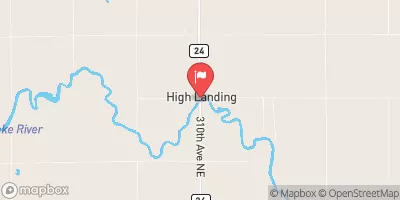
JUDICIAL DITCH 62 |
Dam Length |
7900 |
Hazard Potential |
Low |
Primary Dam Type |
Gravity |
Nid Height |
10 |
Seasonal Comparison
Weather Forecast
Nearby Streamflow Levels

Dam Data Reference
Condition Assessment
SatisfactoryNo existing or potential dam safety deficiencies are recognized. Acceptable performance is expected under all loading conditions (static, hydrologic, seismic) in accordance with the minimum applicable state or federal regulatory criteria or tolerable risk guidelines.
Fair
No existing dam safety deficiencies are recognized for normal operating conditions. Rare or extreme hydrologic and/or seismic events may result in a dam safety deficiency. Risk may be in the range to take further action. Note: Rare or extreme event is defined by the regulatory agency based on their minimum
Poor A dam safety deficiency is recognized for normal operating conditions which may realistically occur. Remedial action is necessary. POOR may also be used when uncertainties exist as to critical analysis parameters which identify a potential dam safety deficiency. Investigations and studies are necessary.
Unsatisfactory
A dam safety deficiency is recognized that requires immediate or emergency remedial action for problem resolution.
Not Rated
The dam has not been inspected, is not under state or federal jurisdiction, or has been inspected but, for whatever reason, has not been rated.
Not Available
Dams for which the condition assessment is restricted to approved government users.
Hazard Potential Classification
HighDams assigned the high hazard potential classification are those where failure or mis-operation will probably cause loss of human life.
Significant
Dams assigned the significant hazard potential classification are those dams where failure or mis-operation results in no probable loss of human life but can cause economic loss, environment damage, disruption of lifeline facilities, or impact other concerns. Significant hazard potential classification dams are often located in predominantly rural or agricultural areas but could be in areas with population and significant infrastructure.
Low
Dams assigned the low hazard potential classification are those where failure or mis-operation results in no probable loss of human life and low economic and/or environmental losses. Losses are principally limited to the owner's property.
Undetermined
Dams for which a downstream hazard potential has not been designated or is not provided.
Not Available
Dams for which the downstream hazard potential is restricted to approved government users.
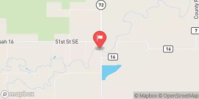
 Brown's Lake
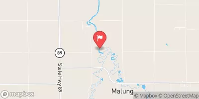