
Drayton Dam Reservoir Report
Nearby: Red River Drayton North Salt Lake
Last Updated: December 25, 2025
Drayton Dam, located in Pembina, North Dakota, along the Red River, is a concrete structure with a multi-arch core that serves the primary purpose of water supply.
°F
°F
mph
Wind
%
Humidity
Summary
Completed in 1964 by NDSWC, this dam stands at a height of 20 feet with a structural height of 23 feet and a length of 595 feet. It has a storage capacity of 12,707 acre-feet and covers a surface area of 1,289 acres, providing essential water resources for the region.
The dam features an uncontrolled spillway with a width of 145 feet and has a low hazard potential with a moderate risk assessment rating. Although it underwent structural modifications in 1984, its condition assessment remains unrated. The dam is regulated by the North Dakota State Water Commission, which also oversees its permitting, inspection, and enforcement activities. Despite its age, Drayton Dam continues to play a crucial role in water management and supply in the area, contributing to the conservation and utilization of the Red River's resources.
With its strategic location and vital function in water supply, Drayton Dam represents a key infrastructure project in the region. Managed by the local government, the dam ensures a reliable water source for the community while also addressing potential risks through regular inspections and maintenance. As climate change impacts water resources, the significance of dams like Drayton in sustainable water management becomes increasingly important for adapting to and mitigating the effects of a changing climate on water availability and quality.
Years Modified |
1984 - Structural |
Year Completed |
1964 |
Dam Length |
595 |
Dam Height |
20 |
River Or Stream |
RED RIVER |
Primary Dam Type |
Concrete |
Surface Area |
1289 |
Drainage Area |
34800 |
Nid Storage |
12707 |
Structural Height |
23 |
Outlet Gates |
None |
Hazard Potential |
Low |
Foundations |
Soil |
Nid Height |
23 |
Seasonal Comparison
Weather Forecast
Nearby Streamflow Levels
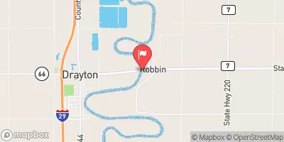 Red River Of The North At Drayton
|
1650cfs |
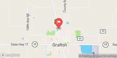 Park River At Grafton
|
26cfs |
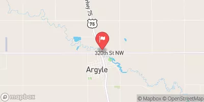 Middle River At Argyle
|
10cfs |
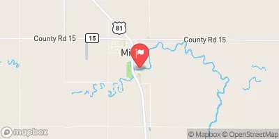 Forest River At Minto
|
44cfs |
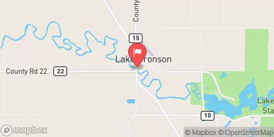 South Branch Two Rivers At Lake Bronson
|
47cfs |
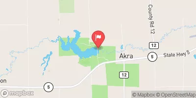 Tongue River At Akra
|
53cfs |
Dam Data Reference
Condition Assessment
SatisfactoryNo existing or potential dam safety deficiencies are recognized. Acceptable performance is expected under all loading conditions (static, hydrologic, seismic) in accordance with the minimum applicable state or federal regulatory criteria or tolerable risk guidelines.
Fair
No existing dam safety deficiencies are recognized for normal operating conditions. Rare or extreme hydrologic and/or seismic events may result in a dam safety deficiency. Risk may be in the range to take further action. Note: Rare or extreme event is defined by the regulatory agency based on their minimum
Poor A dam safety deficiency is recognized for normal operating conditions which may realistically occur. Remedial action is necessary. POOR may also be used when uncertainties exist as to critical analysis parameters which identify a potential dam safety deficiency. Investigations and studies are necessary.
Unsatisfactory
A dam safety deficiency is recognized that requires immediate or emergency remedial action for problem resolution.
Not Rated
The dam has not been inspected, is not under state or federal jurisdiction, or has been inspected but, for whatever reason, has not been rated.
Not Available
Dams for which the condition assessment is restricted to approved government users.
Hazard Potential Classification
HighDams assigned the high hazard potential classification are those where failure or mis-operation will probably cause loss of human life.
Significant
Dams assigned the significant hazard potential classification are those dams where failure or mis-operation results in no probable loss of human life but can cause economic loss, environment damage, disruption of lifeline facilities, or impact other concerns. Significant hazard potential classification dams are often located in predominantly rural or agricultural areas but could be in areas with population and significant infrastructure.
Low
Dams assigned the low hazard potential classification are those where failure or mis-operation results in no probable loss of human life and low economic and/or environmental losses. Losses are principally limited to the owner's property.
Undetermined
Dams for which a downstream hazard potential has not been designated or is not provided.
Not Available
Dams for which the downstream hazard potential is restricted to approved government users.
 Drayton Dam