
North Salt Lake Reservoir Report
Nearby: Vigness Dam Grafton Rr Dam
Last Updated: December 22, 2025
North Salt Lake is a local government-owned fish and wildlife pond located in Walsh County, North Dakota.
°F
°F
mph
Wind
%
Humidity
Summary
The dam, completed in 1971, is an earth structure with a height of 7 feet and a length of 1020 feet. The primary purpose of the dam is to provide habitat for fish and wildlife in the area, with a storage capacity of 1050 acre-feet.
The dam is regulated by the North Dakota State Water Commission, with permitting, inspection, and enforcement conducted by the state agency. The spillway, which is uncontrolled, has a width of 100 feet. Despite being rated as having a low hazard potential, the dam is considered to have moderate risk due to its condition assessment not being rated and the lack of emergency action preparedness measures. With a drainage area of 22 square miles, North Salt Lake plays a crucial role in managing water resources in the region and contributing to the overall ecosystem health.
For water resource and climate enthusiasts, North Salt Lake offers a unique insight into the management of fish and wildlife habitats through dam infrastructure. The dam's design by SCS and its location along Willow Creek-TR make it a valuable resource for conservation efforts. As climate change continues to impact water availability and ecosystem health, understanding and maintaining dams like North Salt Lake becomes increasingly important for ensuring the sustainability of water resources and biodiversity in the region.
Year Completed |
1971 |
Dam Length |
1020 |
Dam Height |
7 |
River Or Stream |
WILLOW CREEK-TR |
Primary Dam Type |
Earth |
Drainage Area |
22 |
Nid Storage |
1050 |
Hazard Potential |
Low |
Foundations |
Soil |
Nid Height |
7 |
Seasonal Comparison
Weather Forecast
Nearby Streamflow Levels
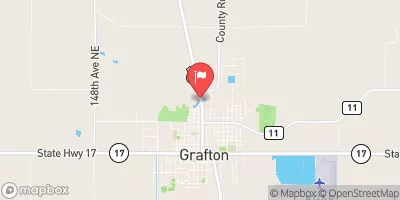 Park River At Grafton
|
26cfs |
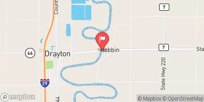 Red River Of The North At Drayton
|
1650cfs |
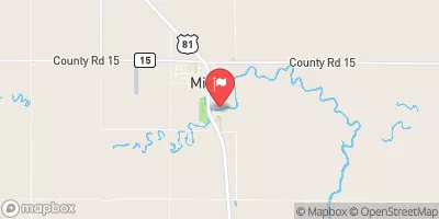 Forest River At Minto
|
44cfs |
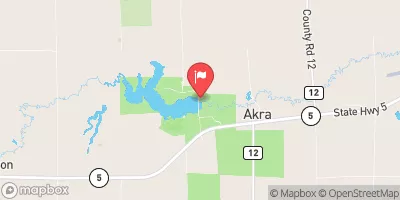 Tongue River At Akra
|
53cfs |
 Middle River At Argyle
|
10cfs |
 Forest River Nr Fordville
|
32cfs |
Dam Data Reference
Condition Assessment
SatisfactoryNo existing or potential dam safety deficiencies are recognized. Acceptable performance is expected under all loading conditions (static, hydrologic, seismic) in accordance with the minimum applicable state or federal regulatory criteria or tolerable risk guidelines.
Fair
No existing dam safety deficiencies are recognized for normal operating conditions. Rare or extreme hydrologic and/or seismic events may result in a dam safety deficiency. Risk may be in the range to take further action. Note: Rare or extreme event is defined by the regulatory agency based on their minimum
Poor A dam safety deficiency is recognized for normal operating conditions which may realistically occur. Remedial action is necessary. POOR may also be used when uncertainties exist as to critical analysis parameters which identify a potential dam safety deficiency. Investigations and studies are necessary.
Unsatisfactory
A dam safety deficiency is recognized that requires immediate or emergency remedial action for problem resolution.
Not Rated
The dam has not been inspected, is not under state or federal jurisdiction, or has been inspected but, for whatever reason, has not been rated.
Not Available
Dams for which the condition assessment is restricted to approved government users.
Hazard Potential Classification
HighDams assigned the high hazard potential classification are those where failure or mis-operation will probably cause loss of human life.
Significant
Dams assigned the significant hazard potential classification are those dams where failure or mis-operation results in no probable loss of human life but can cause economic loss, environment damage, disruption of lifeline facilities, or impact other concerns. Significant hazard potential classification dams are often located in predominantly rural or agricultural areas but could be in areas with population and significant infrastructure.
Low
Dams assigned the low hazard potential classification are those where failure or mis-operation results in no probable loss of human life and low economic and/or environmental losses. Losses are principally limited to the owner's property.
Undetermined
Dams for which a downstream hazard potential has not been designated or is not provided.
Not Available
Dams for which the downstream hazard potential is restricted to approved government users.
Area Campgrounds
| Location | Reservations | Toilets |
|---|---|---|
 Schumacher Park
|
||
 Hager Park
|
||
 Leistikow City Park
|
 North Salt Lake