
Summary
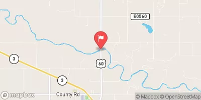
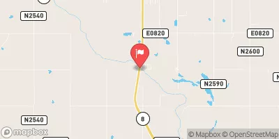
This 29-foot high dam has a storage capacity of 149 acre-feet and serves as a vital water resource for the surrounding area. Situated on an unnamed tributary of Chimney Creek, the dam covers an area of 7 acres with a drainage area of 0.53 square miles.
With a spillway width of 152 feet and a maximum discharge of 1303 cubic feet per second, John Stine Pond 1 has a low hazard potential and is classified as having a moderate risk level. Despite being uncontrolled, the dam's condition is currently not rated, and it has not undergone recent inspections. While the emergency action plan status and risk management measures are unclear, the pond continues to provide essential water storage and support for fire protection and agricultural activities in the region. For water resource and climate enthusiasts, John Stine Pond 1 offers a fascinating case study of a privately owned dam contributing to local water management efforts in rural Oklahoma.
Year Completed |
1998 |
Dam Length |
549 |
Dam Height |
29 |
River Or Stream |
UNNAMED TRIB OF CHIMNEY CREEK |
Primary Dam Type |
Earth |
Surface Area |
7 |
Hydraulic Height |
29 |
Drainage Area |
0.53 |
Nid Storage |
149 |
Hazard Potential |
Low |
Nid Height |
29 |
Seasonal Comparison
Weather Forecast
Nearby Streamflow Levels
Dam Data Reference
Condition Assessment
SatisfactoryNo existing or potential dam safety deficiencies are recognized. Acceptable performance is expected under all loading conditions (static, hydrologic, seismic) in accordance with the minimum applicable state or federal regulatory criteria or tolerable risk guidelines.
Fair
No existing dam safety deficiencies are recognized for normal operating conditions. Rare or extreme hydrologic and/or seismic events may result in a dam safety deficiency. Risk may be in the range to take further action. Note: Rare or extreme event is defined by the regulatory agency based on their minimum
Poor A dam safety deficiency is recognized for normal operating conditions which may realistically occur. Remedial action is necessary. POOR may also be used when uncertainties exist as to critical analysis parameters which identify a potential dam safety deficiency. Investigations and studies are necessary.
Unsatisfactory
A dam safety deficiency is recognized that requires immediate or emergency remedial action for problem resolution.
Not Rated
The dam has not been inspected, is not under state or federal jurisdiction, or has been inspected but, for whatever reason, has not been rated.
Not Available
Dams for which the condition assessment is restricted to approved government users.
Hazard Potential Classification
HighDams assigned the high hazard potential classification are those where failure or mis-operation will probably cause loss of human life.
Significant
Dams assigned the significant hazard potential classification are those dams where failure or mis-operation results in no probable loss of human life but can cause economic loss, environment damage, disruption of lifeline facilities, or impact other concerns. Significant hazard potential classification dams are often located in predominantly rural or agricultural areas but could be in areas with population and significant infrastructure.
Low
Dams assigned the low hazard potential classification are those where failure or mis-operation results in no probable loss of human life and low economic and/or environmental losses. Losses are principally limited to the owner's property.
Undetermined
Dams for which a downstream hazard potential has not been designated or is not provided.
Not Available
Dams for which the downstream hazard potential is restricted to approved government users.
 John Stine Pond 1