


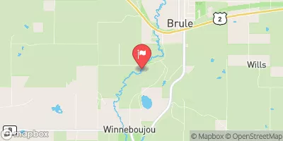
Stateline Flowage Reservoir Report
Last Updated: April 29, 2026
Nearby: Radigan Mader Pond
°F
°F
mph
Wind
%
Humidity
Stateline Flowage in Douglas County, Wisconsin, is a picturesque reservoir with a primary purpose of recreation.
Summary
Completed in 1970, this earth dam stands at a height of 8 feet and has a length of 1300 feet, creating a tranquil surface area of 58 acres and a maximum storage capacity of 230 acre-feet. The reservoir is fed by the West Branch Hay Creek and is under the jurisdiction of the Wisconsin Department of Natural Resources, ensuring state-regulated permitting, inspection, and enforcement.
Despite its low hazard potential, the dam's condition assessment was reported as poor in 2017, suggesting a need for maintenance and improvements. The risk assessment for Stateline Flowage is classified as very high, indicating a level 1 risk. With a history of modifications in 2018 and ongoing state oversight, the reservoir remains a popular spot for outdoor enthusiasts seeking water-based activities in the heart of Wisconsin. Whether for fishing, boating, or simply enjoying the scenic surroundings, Stateline Flowage offers a unique and valuable resource for both locals and visitors alike.
Regional Streamflow Levels
 St. Croix River Near Danbury
|
4170cfs |
 Nemadji River Near South Superior
|
4910cfs |
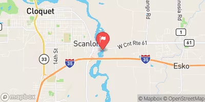 St. Louis River At Scanlon
|
13400cfs |
 Kettle River Below Sandstone
|
2940cfs |
 Bois Brule River At Brule
|
468cfs |
 Snake River Near Pine City
|
1320cfs |
15-Day Long Term Forecast
Years Modified |
2018 - Other |
Year Completed |
1970 |
Dam Length |
1300 |
Dam Height |
8 |
River Or Stream |
West Branch Hay Creek |
Primary Dam Type |
Earth |
Surface Area |
58 |
Hydraulic Height |
6 |
Drainage Area |
3 |
Nid Storage |
230 |
Structural Height |
8 |
Hazard Potential |
Low |
Nid Height |
8 |
Seasonal Comparison
5-Day Hourly Forecast Detail
Dam Data Reference
Condition Assessment
SatisfactoryNo existing or potential dam safety deficiencies are recognized. Acceptable performance is expected under all loading conditions (static, hydrologic, seismic) in accordance with the minimum applicable state or federal regulatory criteria or tolerable risk guidelines.
Fair
No existing dam safety deficiencies are recognized for normal operating conditions. Rare or extreme hydrologic and/or seismic events may result in a dam safety deficiency. Risk may be in the range to take further action. Note: Rare or extreme event is defined by the regulatory agency based on their minimum
Poor A dam safety deficiency is recognized for normal operating conditions which may realistically occur. Remedial action is necessary. POOR may also be used when uncertainties exist as to critical analysis parameters which identify a potential dam safety deficiency. Investigations and studies are necessary.
Unsatisfactory
A dam safety deficiency is recognized that requires immediate or emergency remedial action for problem resolution.
Not Rated
The dam has not been inspected, is not under state or federal jurisdiction, or has been inspected but, for whatever reason, has not been rated.
Not Available
Dams for which the condition assessment is restricted to approved government users.
Hazard Potential Classification
HighDams assigned the high hazard potential classification are those where failure or mis-operation will probably cause loss of human life.
Significant
Dams assigned the significant hazard potential classification are those dams where failure or mis-operation results in no probable loss of human life but can cause economic loss, environment damage, disruption of lifeline facilities, or impact other concerns. Significant hazard potential classification dams are often located in predominantly rural or agricultural areas but could be in areas with population and significant infrastructure.
Low
Dams assigned the low hazard potential classification are those where failure or mis-operation results in no probable loss of human life and low economic and/or environmental losses. Losses are principally limited to the owner's property.
Undetermined
Dams for which a downstream hazard potential has not been designated or is not provided.
Not Available
Dams for which the downstream hazard potential is restricted to approved government users.
Area Campgrounds
| Location | Reservations | Toilets |
|---|---|---|
 Nemadji State Forest -Garfvert Campground
|
||
 Garfvert - Nemadji State Forest
|
||
 St Croix NSR - Schoen Park
|
||
 Schoen Park
|
||
 Louise Park
|