


Indian Creek #8 Reservoir Report
Last Updated: April 15, 2026
Nearby: Indian Creek #7 Indian Creek #4
°F
°F
mph
Wind
%
Humidity
Indian Creek #8, also known as Indian Creek Watershed 8 Dam, is a privately owned earth dam located in Hardeman, Tennessee.
Summary
Built in 1960 by the USDA NRCS, this dam's primary purpose is flood risk reduction for the Indian Creek watershed. With a hydraulic height of 15 feet and a structural height of 28.5 feet, it holds a normal storage capacity of 249 acre-feet and a maximum storage of 1472 acre-feet.
Despite being classified as a low hazard potential structure with a moderate risk assessment, Indian Creek #8 has not been rated for its condition. In terms of safety measures, the dam has no outlet gates and features an uncontrolled spillway. As of the last inspection in April 2018, the dam was deemed to have a five-year inspection frequency. Situated within the Memphis District, this dam plays a crucial role in managing water resources and mitigating flood risks in the region.
For water resource and climate enthusiasts, Indian Creek #8 serves as an intriguing example of a privately owned earth dam designed for flood risk reduction. With its location in the Indian Creek watershed and its capacity to store up to 1472 acre-feet of water, this structure plays a vital role in water management in Hardeman, Tennessee. While it has a low hazard potential, ongoing inspections and risk assessments are essential to ensure the safety and effectiveness of the dam in protecting the surrounding area from potential flooding events.
Regional Streamflow Levels
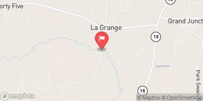 Wolf River At Lagrange
|
125cfs |
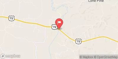 Hatchie River Near Walnut
|
112cfs |
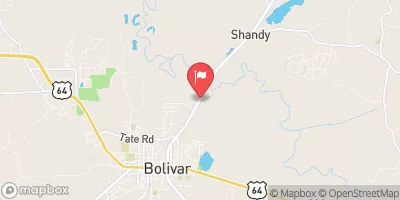 Hatchie River At Bolivar
|
526cfs |
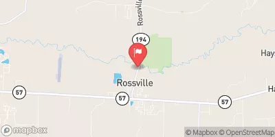 Wolf River At Rossville
|
303cfs |
 Coldwater River Nr Olive Branch
|
61cfs |
 Loosahatchie River Near Arlington
|
97cfs |
15-Day Long Term Forecast
Year Completed |
1960 |
Dam Length |
736 |
River Or Stream |
INDIAN CREEK |
Primary Dam Type |
Earth |
Surface Area |
51 |
Hydraulic Height |
15 |
Drainage Area |
3.68 |
Nid Storage |
1472 |
Structural Height |
28.5 |
Outlet Gates |
None |
Hazard Potential |
Low |
Foundations |
Soil |
Nid Height |
29 |
Seasonal Comparison
5-Day Hourly Forecast Detail
Dam Data Reference
Condition Assessment
SatisfactoryNo existing or potential dam safety deficiencies are recognized. Acceptable performance is expected under all loading conditions (static, hydrologic, seismic) in accordance with the minimum applicable state or federal regulatory criteria or tolerable risk guidelines.
Fair
No existing dam safety deficiencies are recognized for normal operating conditions. Rare or extreme hydrologic and/or seismic events may result in a dam safety deficiency. Risk may be in the range to take further action. Note: Rare or extreme event is defined by the regulatory agency based on their minimum
Poor A dam safety deficiency is recognized for normal operating conditions which may realistically occur. Remedial action is necessary. POOR may also be used when uncertainties exist as to critical analysis parameters which identify a potential dam safety deficiency. Investigations and studies are necessary.
Unsatisfactory
A dam safety deficiency is recognized that requires immediate or emergency remedial action for problem resolution.
Not Rated
The dam has not been inspected, is not under state or federal jurisdiction, or has been inspected but, for whatever reason, has not been rated.
Not Available
Dams for which the condition assessment is restricted to approved government users.
Hazard Potential Classification
HighDams assigned the high hazard potential classification are those where failure or mis-operation will probably cause loss of human life.
Significant
Dams assigned the significant hazard potential classification are those dams where failure or mis-operation results in no probable loss of human life but can cause economic loss, environment damage, disruption of lifeline facilities, or impact other concerns. Significant hazard potential classification dams are often located in predominantly rural or agricultural areas but could be in areas with population and significant infrastructure.
Low
Dams assigned the low hazard potential classification are those where failure or mis-operation results in no probable loss of human life and low economic and/or environmental losses. Losses are principally limited to the owner's property.
Undetermined
Dams for which a downstream hazard potential has not been designated or is not provided.
Not Available
Dams for which the downstream hazard potential is restricted to approved government users.