
Murchison Drive Dam Reservoir Report
Nearby: Portland Avenue Dam Denver Avenue Dam
Last Updated: December 6, 2025
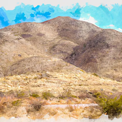
Murchison Drive Dam is a crucial water resource infrastructure located in El Paso, Texas, designed primarily for flood risk reduction along the Rio Grande.
°F
°F
mph
Wind
%
Humidity
Summary
Constructed in 1948, this earth dam stands at a height of 13 feet and spans 200 feet in length, with a storage capacity of 7 acre-feet. Despite its age, the dam is in fair condition and regularly inspected by the Texas Commission on Environmental Quality (TCEQ).
The dam features an uncontrolled spillway and one outlet gate, with a maximum discharge capacity of 123 cubic feet per second. The surrounding area of the dam covers 0.84 acres, serving a drainage area of 0.06 square miles. It is managed by the local government and falls under state jurisdiction, with state regulatory agencies overseeing permitting, inspection, and enforcement. The dam's hazard potential is not currently available, but its risk assessment is rated as moderate.
Overall, Murchison Drive Dam plays a critical role in mitigating flood risks in the region and demonstrates a commitment to water resource management and climate resilience. Its strategic location and design make it a key asset in safeguarding the local community against potential water-related disasters, highlighting the importance of proactive monitoring and maintenance to ensure its continued effectiveness in the face of changing weather patterns.
Year Completed |
1948 |
Dam Length |
200 |
Dam Height |
13 |
River Or Stream |
OFF CH-RIO GRANDE |
Primary Dam Type |
Earth |
Surface Area |
0.84 |
Hydraulic Height |
13 |
Drainage Area |
0.06 |
Nid Storage |
7 |
Structural Height |
13 |
Outlet Gates |
Uncontrolled - 1 |
Hazard Potential |
Not Available |
Foundations |
Unlisted/Unknown |
Nid Height |
13 |
Seasonal Comparison
Weather Forecast
Dam Data Reference
Condition Assessment
SatisfactoryNo existing or potential dam safety deficiencies are recognized. Acceptable performance is expected under all loading conditions (static, hydrologic, seismic) in accordance with the minimum applicable state or federal regulatory criteria or tolerable risk guidelines.
Fair
No existing dam safety deficiencies are recognized for normal operating conditions. Rare or extreme hydrologic and/or seismic events may result in a dam safety deficiency. Risk may be in the range to take further action. Note: Rare or extreme event is defined by the regulatory agency based on their minimum
Poor A dam safety deficiency is recognized for normal operating conditions which may realistically occur. Remedial action is necessary. POOR may also be used when uncertainties exist as to critical analysis parameters which identify a potential dam safety deficiency. Investigations and studies are necessary.
Unsatisfactory
A dam safety deficiency is recognized that requires immediate or emergency remedial action for problem resolution.
Not Rated
The dam has not been inspected, is not under state or federal jurisdiction, or has been inspected but, for whatever reason, has not been rated.
Not Available
Dams for which the condition assessment is restricted to approved government users.
Hazard Potential Classification
HighDams assigned the high hazard potential classification are those where failure or mis-operation will probably cause loss of human life.
Significant
Dams assigned the significant hazard potential classification are those dams where failure or mis-operation results in no probable loss of human life but can cause economic loss, environment damage, disruption of lifeline facilities, or impact other concerns. Significant hazard potential classification dams are often located in predominantly rural or agricultural areas but could be in areas with population and significant infrastructure.
Low
Dams assigned the low hazard potential classification are those where failure or mis-operation results in no probable loss of human life and low economic and/or environmental losses. Losses are principally limited to the owner's property.
Undetermined
Dams for which a downstream hazard potential has not been designated or is not provided.
Not Available
Dams for which the downstream hazard potential is restricted to approved government users.
 Murchison Drive Dam
 Scenic Drive
 Mary Webb
 Houston Park
 Madeline Park
 Franklin Mountains State Park