


Chaney Lake Dam Reservoir Report
Last Updated: April 23, 2026
°F
°F
mph
Wind
%
Humidity
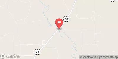
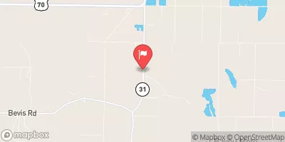
Chaney Lake Dam, located in Arkansas, was completed in 1960 and serves primarily for irrigation purposes.
Summary
Managed by a private owner, this earth dam has a structural height of 13 feet and a hydraulic height of 9 feet, with a storage capacity of 336 acre-feet. The dam is situated on Mill Bayou-OS and covers a surface area of 51 acres, with a drainage area of 0.92 square miles. Despite its low hazard potential, the dam's condition assessment is currently listed as "Not Rated."
Constructed by the USDA NRCS, the Chaney Lake Dam stands as a testament to the collaboration between natural resource agencies and private owners in water resource management. The dam's maximum discharge capacity reaches 480 cubic feet per second, ensuring efficient water flow control for irrigation purposes. While the dam has not been state-regulated or inspected, its strategic location and design contribute to the sustainable utilization of water resources in the area.
With its historical significance and contribution to the local irrigation system, Chaney Lake Dam represents a crucial infrastructure for water resource management in Arkansas. The dam's presence on Mill Bayou-OS highlights the importance of sustainable water supply for agricultural activities in the region. Despite being privately owned and not state-regulated, the dam's low hazard potential and strategic design showcase the successful collaboration between federal agencies like the USDA NRCS and private entities in ensuring water resource efficiency and conservation.
Regional Streamflow Levels

15-Day Long Term Forecast
Year Completed |
1960 |
Dam Length |
1000 |
River Or Stream |
MILL BAYOU-OS |
Primary Dam Type |
Earth |
Surface Area |
51 |
Hydraulic Height |
9 |
Drainage Area |
0.92 |
Nid Storage |
336 |
Structural Height |
13 |
Hazard Potential |
Low |
Nid Height |
13 |
Seasonal Comparison
5-Day Hourly Forecast Detail
Dam Data Reference
Condition Assessment
SatisfactoryNo existing or potential dam safety deficiencies are recognized. Acceptable performance is expected under all loading conditions (static, hydrologic, seismic) in accordance with the minimum applicable state or federal regulatory criteria or tolerable risk guidelines.
Fair
No existing dam safety deficiencies are recognized for normal operating conditions. Rare or extreme hydrologic and/or seismic events may result in a dam safety deficiency. Risk may be in the range to take further action. Note: Rare or extreme event is defined by the regulatory agency based on their minimum
Poor A dam safety deficiency is recognized for normal operating conditions which may realistically occur. Remedial action is necessary. POOR may also be used when uncertainties exist as to critical analysis parameters which identify a potential dam safety deficiency. Investigations and studies are necessary.
Unsatisfactory
A dam safety deficiency is recognized that requires immediate or emergency remedial action for problem resolution.
Not Rated
The dam has not been inspected, is not under state or federal jurisdiction, or has been inspected but, for whatever reason, has not been rated.
Not Available
Dams for which the condition assessment is restricted to approved government users.
Hazard Potential Classification
HighDams assigned the high hazard potential classification are those where failure or mis-operation will probably cause loss of human life.
Significant
Dams assigned the significant hazard potential classification are those dams where failure or mis-operation results in no probable loss of human life but can cause economic loss, environment damage, disruption of lifeline facilities, or impact other concerns. Significant hazard potential classification dams are often located in predominantly rural or agricultural areas but could be in areas with population and significant infrastructure.
Low
Dams assigned the low hazard potential classification are those where failure or mis-operation results in no probable loss of human life and low economic and/or environmental losses. Losses are principally limited to the owner's property.
Undetermined
Dams for which a downstream hazard potential has not been designated or is not provided.
Not Available
Dams for which the downstream hazard potential is restricted to approved government users.