


Connerly Bayou Pumping Station Reservoir Report
Last Updated: April 23, 2026
°F
°F
mph
Wind
%
Humidity
Located in Lake Village, Arkansas, the Connerly Bayou Pumping Station is a federal facility designed primarily for flood risk reduction along the Connerly Bayou.
Summary
Completed in 1980, this earth dam stands at 24 feet tall and spans a length of 135 feet, with a maximum storage capacity of 4,200 acre-feet and a normal storage capacity of 920 acre-feet. The pumping station is equipped with a hydraulic height of 24 feet, serving as an essential infrastructure for managing water levels and protecting the surrounding area from potential flooding events.
Despite its low hazard potential, the Connerly Bayou Pumping Station has not been rated for its condition assessment. With no recent inspection data available, the facility's emergency action plan and risk management measures remain undisclosed. As a federal facility under the jurisdiction of the Vicksburg District of the US Army Corps of Engineers, the Connerly Bayou Pumping Station plays a crucial role in safeguarding the community and environment from the impacts of extreme weather events and changing climate patterns. Water resource and climate enthusiasts will find this pumping station an intriguing example of flood risk reduction infrastructure in the region.
Regional Streamflow Levels

15-Day Long Term Forecast
Year Completed |
1980 |
Dam Length |
135 |
River Or Stream |
CONNERLY BAYOU |
Primary Dam Type |
Earth |
Hydraulic Height |
24 |
Nid Storage |
4200 |
Structural Height |
24 |
Hazard Potential |
Low |
Nid Height |
24 |
Seasonal Comparison
5-Day Hourly Forecast Detail
Dam Data Reference
Condition Assessment
SatisfactoryNo existing or potential dam safety deficiencies are recognized. Acceptable performance is expected under all loading conditions (static, hydrologic, seismic) in accordance with the minimum applicable state or federal regulatory criteria or tolerable risk guidelines.
Fair
No existing dam safety deficiencies are recognized for normal operating conditions. Rare or extreme hydrologic and/or seismic events may result in a dam safety deficiency. Risk may be in the range to take further action. Note: Rare or extreme event is defined by the regulatory agency based on their minimum
Poor A dam safety deficiency is recognized for normal operating conditions which may realistically occur. Remedial action is necessary. POOR may also be used when uncertainties exist as to critical analysis parameters which identify a potential dam safety deficiency. Investigations and studies are necessary.
Unsatisfactory
A dam safety deficiency is recognized that requires immediate or emergency remedial action for problem resolution.
Not Rated
The dam has not been inspected, is not under state or federal jurisdiction, or has been inspected but, for whatever reason, has not been rated.
Not Available
Dams for which the condition assessment is restricted to approved government users.
Hazard Potential Classification
HighDams assigned the high hazard potential classification are those where failure or mis-operation will probably cause loss of human life.
Significant
Dams assigned the significant hazard potential classification are those dams where failure or mis-operation results in no probable loss of human life but can cause economic loss, environment damage, disruption of lifeline facilities, or impact other concerns. Significant hazard potential classification dams are often located in predominantly rural or agricultural areas but could be in areas with population and significant infrastructure.
Low
Dams assigned the low hazard potential classification are those where failure or mis-operation results in no probable loss of human life and low economic and/or environmental losses. Losses are principally limited to the owner's property.
Undetermined
Dams for which a downstream hazard potential has not been designated or is not provided.
Not Available
Dams for which the downstream hazard potential is restricted to approved government users.
Area Campgrounds
| Location | Reservations | Toilets |
|---|---|---|
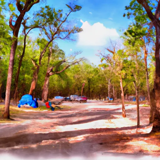 Lake Chicot State Park
|
||
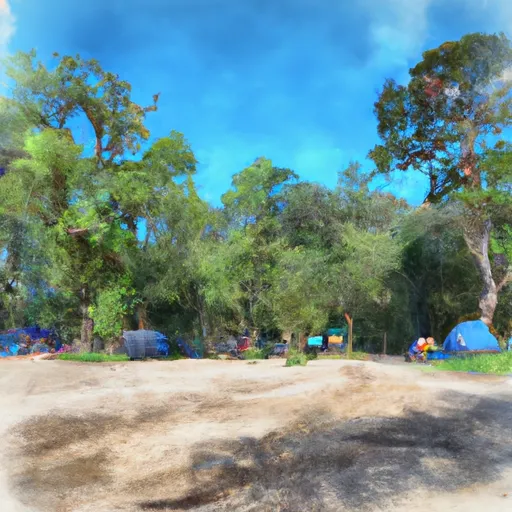 Warfield Point Park
|
||
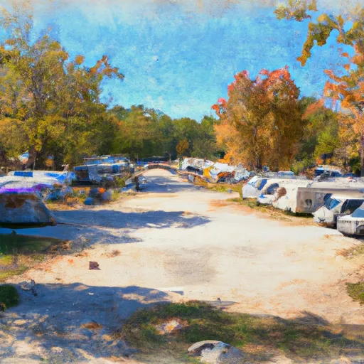 Chicot County RV Park
|