


Summary
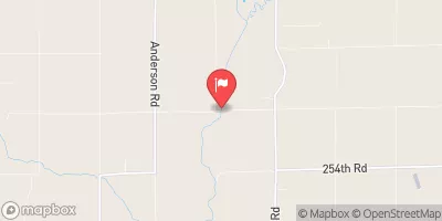
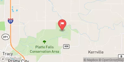
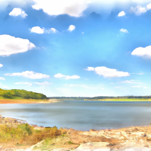
Built in 1963 by the USDA NRCS, this earth dam stands at a height of 42.7 feet and serves the primary purpose of flood risk reduction. With a storage capacity of 312 acre-feet and a normal storage capacity of 72 acre-feet, Frd No 1 plays a crucial role in managing water resources in the area.
Managed by the Kansas Department of Agriculture, Frd No 1 is under state regulation and inspection to ensure its safety and functionality. Despite its high hazard potential, the dam has been assessed as satisfactory in condition, with the last inspection conducted in April 2019. With no associated structures and no emergency action plan in place, there is a need for continued monitoring and risk management to protect the surrounding community from potential flood events.
As a key structure in the flood risk reduction system, Frd No 1 highlights the importance of proactive water resource management and infrastructure maintenance in mitigating the impact of extreme weather events. With its strategic location and design, this dam serves as a crucial defense against flooding in Atchison, Kansas, and underscores the vital role of local government in safeguarding communities against climate-related risks.
Regional Streamflow Levels
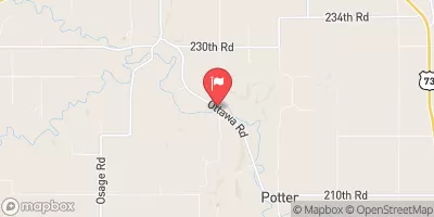 Stranger C Nr Potter
|
199cfs |
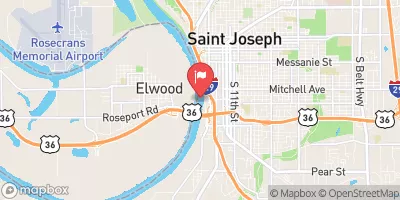 Missouri River At St. Joseph
|
39800cfs |
 Delaware R Nr Muscotah
|
135cfs |
 Platte River Near Agency
|
1440cfs |
 Platte River At Sharps Station
|
1600cfs |
 Little Platte River At Smithville
|
26cfs |
15-Day Long Term Forecast
Year Completed |
1963 |
Dam Length |
820 |
Dam Height |
42.7 |
River Or Stream |
WHITE CLAY CREEK-TR |
Primary Dam Type |
Earth |
Surface Area |
8 |
Hydraulic Height |
41 |
Drainage Area |
0.27 |
Nid Storage |
312 |
Structural Height |
44 |
Outlet Gates |
None |
Hazard Potential |
High |
Foundations |
Unlisted/Unknown |
Nid Height |
44 |
Seasonal Comparison
5-Day Hourly Forecast Detail
Dam Data Reference
Condition Assessment
SatisfactoryNo existing or potential dam safety deficiencies are recognized. Acceptable performance is expected under all loading conditions (static, hydrologic, seismic) in accordance with the minimum applicable state or federal regulatory criteria or tolerable risk guidelines.
Fair
No existing dam safety deficiencies are recognized for normal operating conditions. Rare or extreme hydrologic and/or seismic events may result in a dam safety deficiency. Risk may be in the range to take further action. Note: Rare or extreme event is defined by the regulatory agency based on their minimum
Poor A dam safety deficiency is recognized for normal operating conditions which may realistically occur. Remedial action is necessary. POOR may also be used when uncertainties exist as to critical analysis parameters which identify a potential dam safety deficiency. Investigations and studies are necessary.
Unsatisfactory
A dam safety deficiency is recognized that requires immediate or emergency remedial action for problem resolution.
Not Rated
The dam has not been inspected, is not under state or federal jurisdiction, or has been inspected but, for whatever reason, has not been rated.
Not Available
Dams for which the condition assessment is restricted to approved government users.
Hazard Potential Classification
HighDams assigned the high hazard potential classification are those where failure or mis-operation will probably cause loss of human life.
Significant
Dams assigned the significant hazard potential classification are those dams where failure or mis-operation results in no probable loss of human life but can cause economic loss, environment damage, disruption of lifeline facilities, or impact other concerns. Significant hazard potential classification dams are often located in predominantly rural or agricultural areas but could be in areas with population and significant infrastructure.
Low
Dams assigned the low hazard potential classification are those where failure or mis-operation results in no probable loss of human life and low economic and/or environmental losses. Losses are principally limited to the owner's property.
Undetermined
Dams for which a downstream hazard potential has not been designated or is not provided.
Not Available
Dams for which the downstream hazard potential is restricted to approved government users.
Area Campgrounds
| Location | Reservations | Toilets |
|---|---|---|
 Camp Miles
|
||
 Camp Conestoga
|
||
 Sky Hawk
|
||
|
|
||
 Strong Bull
|
||
 Pueblo
|
 Smithville Reservoir Near Smithville
 Perry Lk Nr Perry
 Clinton Lk Nr Lawrence
 River Road Atchison