
Mccutchan Dam Reservoir Report
Last Updated: January 12, 2026
McCutchan Dam, located in Lewis County, Missouri, was completed in 1996 and serves primarily for grade stabilization along TR-SUGAR CREEK.
°F
°F
mph
Wind
%
Humidity
Summary
This private dam stands at a height of 25.8 feet with a hydraulic height of 22 feet and a structural height of 18 feet. With a storage capacity of 24 acre-feet and a drainage area of 190 acres, McCutchan Dam plays a crucial role in water resource management in the region. Despite being classified as having a low hazard potential, the dam is considered to have a moderate risk level.
The dam, constructed primarily with earth and stone materials, spans a length of 300 feet and has a spillway width of 10 feet. McCutchan Dam is not regulated by the state and does not require permitting, inspection, or enforcement. With a normal storage capacity of 11 acre-feet and a surface area of 9 acres, the dam provides essential flood control measures and contributes to the overall water management system in the area. While it is not owned or funded by federal agencies, McCutchan Dam remains a vital infrastructure for the local community and surrounding areas, showcasing the importance of private ownership in water resource management.
In conclusion, McCutchan Dam stands as a testament to effective grade stabilization and flood control measures in Lewis County, Missouri. With its strategic location and design, the dam serves as a key component in managing water resources along TR-SUGAR CREEK. Despite its low hazard potential, the moderate risk level underscores the importance of ongoing monitoring and maintenance to ensure the continued safety and efficiency of McCutchan Dam for years to come. For water resource and climate enthusiasts, this dam represents a fascinating case study in private ownership and local water management efforts.
Year Completed |
1996 |
Dam Length |
300 |
Dam Height |
25.8 |
River Or Stream |
TR-SUGAR CREEK |
Primary Dam Type |
Earth |
Surface Area |
9 |
Hydraulic Height |
22 |
Drainage Area |
190 |
Nid Storage |
24 |
Structural Height |
18 |
Outlet Gates |
None |
Hazard Potential |
Low |
Foundations |
Soil |
Nid Height |
26 |
Seasonal Comparison
Weather Forecast
Nearby Streamflow Levels
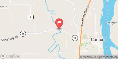 Wyaconda River Above Canton
|
13cfs |
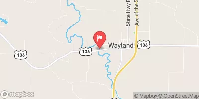 Fox River At Wayland
|
8cfs |
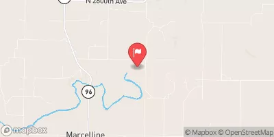 Bear Creek Near Marcelline
|
5cfs |
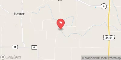 South Fabius River Near Taylor
|
12cfs |
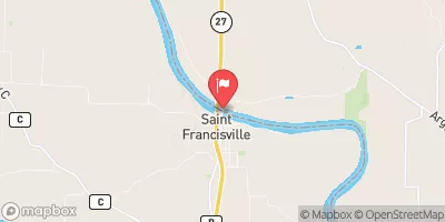 Des Moines River At St. Francisville
|
1620cfs |
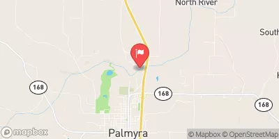 North River At Palmyra
|
11cfs |
Dam Data Reference
Condition Assessment
SatisfactoryNo existing or potential dam safety deficiencies are recognized. Acceptable performance is expected under all loading conditions (static, hydrologic, seismic) in accordance with the minimum applicable state or federal regulatory criteria or tolerable risk guidelines.
Fair
No existing dam safety deficiencies are recognized for normal operating conditions. Rare or extreme hydrologic and/or seismic events may result in a dam safety deficiency. Risk may be in the range to take further action. Note: Rare or extreme event is defined by the regulatory agency based on their minimum
Poor A dam safety deficiency is recognized for normal operating conditions which may realistically occur. Remedial action is necessary. POOR may also be used when uncertainties exist as to critical analysis parameters which identify a potential dam safety deficiency. Investigations and studies are necessary.
Unsatisfactory
A dam safety deficiency is recognized that requires immediate or emergency remedial action for problem resolution.
Not Rated
The dam has not been inspected, is not under state or federal jurisdiction, or has been inspected but, for whatever reason, has not been rated.
Not Available
Dams for which the condition assessment is restricted to approved government users.
Hazard Potential Classification
HighDams assigned the high hazard potential classification are those where failure or mis-operation will probably cause loss of human life.
Significant
Dams assigned the significant hazard potential classification are those dams where failure or mis-operation results in no probable loss of human life but can cause economic loss, environment damage, disruption of lifeline facilities, or impact other concerns. Significant hazard potential classification dams are often located in predominantly rural or agricultural areas but could be in areas with population and significant infrastructure.
Low
Dams assigned the low hazard potential classification are those where failure or mis-operation results in no probable loss of human life and low economic and/or environmental losses. Losses are principally limited to the owner's property.
Undetermined
Dams for which a downstream hazard potential has not been designated or is not provided.
Not Available
Dams for which the downstream hazard potential is restricted to approved government users.
Area Campgrounds
| Location | Reservations | Toilets |
|---|---|---|
 Canton City River Park
|
||
 Mississippi Riverfront RV Park
|
||
 Bear Creek - Mississippi River
|
 Mccutchan Dam